Enable Location

We need your location to show you interesting places around you

Discover nearby places

Find interesting locations and hidden gems around you

Precise directions

Get accurate directions and distances to places

Your location is never shared with other users. It's only used when you tap the location button.

Rettenberg

Log in to your account

Start exploring — it's free

Trusted by 64,015 travelers worldwide

Continue with Google
Continue with Apple
or

We will send you a code to connect

By continuing, you accept our Terms and Conditions and our Privacy Policy

Check your inbox

We've sent a pincode in your inbox. Please enter the code below.

Discussion Reviews 2 Photos
19.5k Popularity

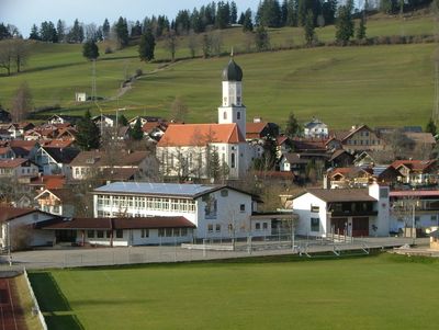
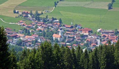
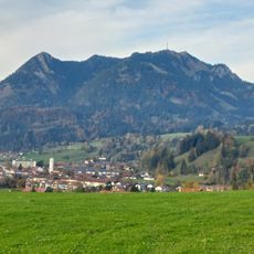
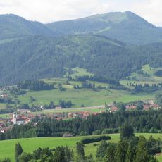
Rettenberg, municipality in the district of Oberallgäu in Bavaria, Germany

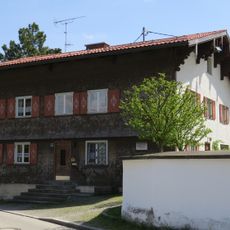
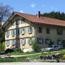
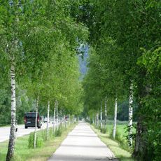
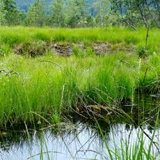
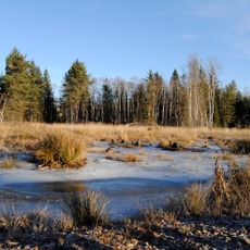
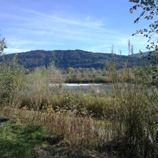
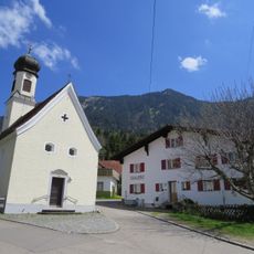
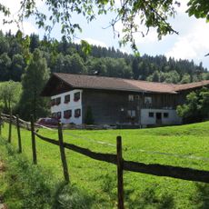
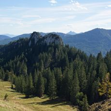
Rettenberg is a small municipality at the foot of Grünten mountain, surrounded by the Nagelfluhkette Nature Park landscape. The settlement comprises several villages and hamlets including Rottach, Vorderburg, and Kranzegg, with the Iller River flowing through the area after rising nearby.

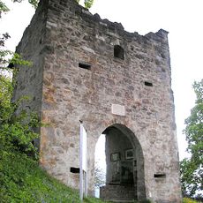
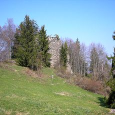
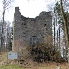
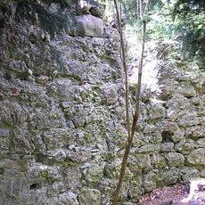
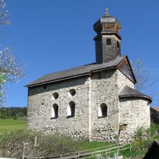
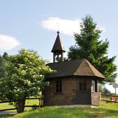
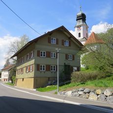
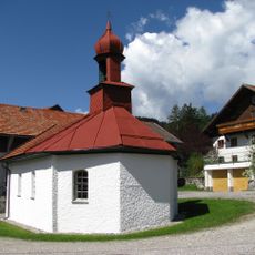
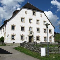
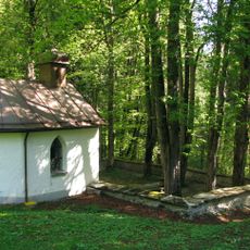
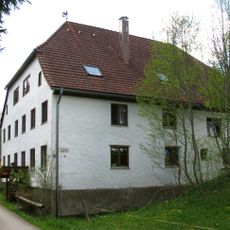
Rettenberg was shaped by noble families who built castles and churches, passing through various rulers from nobility to religious authorities before becoming part of Bavaria. The earliest brewery dates to the late 17th century, and the St. Nicholas Chapel in Emmereis from the 12th century testify to the area's deep historical roots.

The community hosts regular festivals like the herb market in spring and the full moon celebration, where traditional music, local food, and shared meals bring people together. These gatherings reflect the residents' commitment to preserving their customs and way of life across generations.

The area is accessible by car or bus from nearby towns in the region and offers a quiet setting for families and those seeking relaxation. The Tourist Office is available most weekday mornings to help with accommodation reservations, maps, and local advice, with brochures downloadable online.

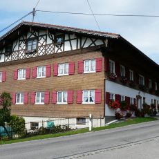
The community hosts three local breweries that have been producing beer according to tradition for hundreds of years and welcome visitors on guided tours. This brewing heritage makes the place noteworthy for those interested in seeing how beer is made and tasting fresh local brews.

The community of curious travelers

AroundUs brings together thousands of curated places, local tips, and hidden gems, enriched daily by 60,000 contributors worldwide.

Start exploring
Location
Capital city
Rettenberg
Elevation above the sea
807 m
Shares border with
Waltenhofen, Immenstadt im Allgäu, Burgberg im Allgäu
GPS coordinates
47.58333,10.30000
Latest update
February 16, 2026 22:40
Reviews
Share your experience

No review yet

Discussions
Start a discussion...

No discussion yet

« Rettenberg - municipality in the district of Oberallgäu in Bavaria, Germany » is provided by Around Us (aroundus.com). Images and texts are derived from Wikimedia project under a Creative Commons license. You are allowed to copy, distribute, and modify copies of this page, under the conditions set by the license, as long as this note is clearly visible.

Discover hidden gems everywhere you go!

From secret cafés to breathtaking viewpoints, skip the crowded tourist spots and find places that match your style. Our app makes it easy with voice search, smart filtering, route optimization, and insider tips from travelers worldwide. Download now for the complete mobile experience.

Around Us App Screenshot

A unique approach to discovering new places

Le Figaro

All the places worth exploring

France Info

A tailor-made excursion in just a few clicks

20 Minutes

Around Us
Travel Guide & Maps
Download

Send to your phone

QR Code
1

Open the camera app on your mobile.

2

Point at the QR code with your camera. A notification will appear.

3

Tap the notification to open the link.