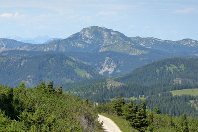
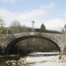
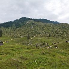
Dürrenstein, Mountain summit in Lower Austria, Austria.
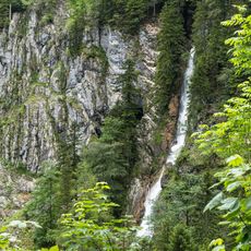
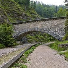
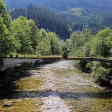
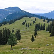
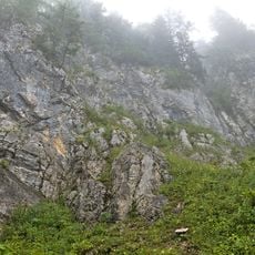
Dürrenstein is a 1,878 meter (6,162 ft) high summit in the northern limestone Alps with extensive limestone formations. The mountain sits within a large forest protection area that stretches across several valleys.
The mountain was disputed between Carthusian monks from Gaming and Benedictine monks from Admont Abbey for several centuries. These abbeys held significant influence over the region's economy and land management during the Middle Ages.
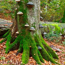
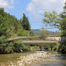
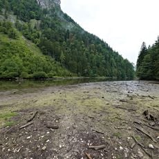
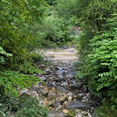
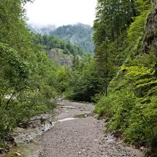
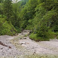
The Dürrenstein-Lassingtal area protects one of Europe's largest beech forests in its natural state. Visitors walking through this woodland can experience the diversity and character of a landscape shaped by nature rather than human activity.
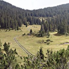
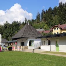
Multiple marked hiking trails lead to the summit, with most routes taking 3 to 5 hours of walking time. The nearby Ybbstalerhütte mountain refuge offers rest and overnight shelter for hikers along the way.
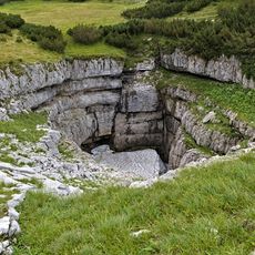
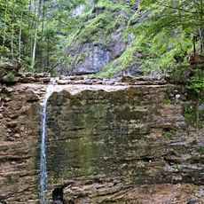
The nearby Grünloch sinkhole holds the record for the coldest temperature ever recorded in Austria at minus 52.6 degrees Celsius. This natural cavity acts like a freezer because cold air becomes trapped there naturally.
GPS coordinates: 47.78573,15.05943
Latest update: December 10, 2025 20:02
Lunzer See
7.5 km
Grünloch
4 km
Dürrenstein
3.2 km
Ludwigfall
3.1 km
Steinbach Castle (Göstling an der Ybbs)
4.9 km
Flur-/Wegkapelle
7.8 km
Seehof manor
7.6 km
Töpperbrücke
7.1 km
Lehenbrücke
6.6 km
Bauernhaus Großstanglau
7.4 km
5 Zugangsstollen (25, 28, 29, 30, 31), 5 Kanalbrücken (Lahnbach, Windischbach, Hundsaubach, Almwaldbach, Schreierbach)
4.9 km
Großes Schneeloch
369 m
Mittersee
4.9 km
Hagenbachaquädukt
6.4 km
Stixlehener Vorderhammer, Hammerwerksruine
8.1 km
Lehenbrücke
6.6 km
Sog. Kasten des Seisenhofes
8 km
Zugangsstollen 32 und 35, Ein- und Auslaufkammer Lechnergrabendüker (EK 33, AK34)
6.2 km
Hagenbach
7.7 km
Ötscher - Dürrenstein
8.4 km
Anlage Seebad Lunz am See
7.6 km
Windischbach
5 km
Alplbach
5.3 km
Freiengrabenbach
5.3 km
Gschwendmauer
3.7 km
Dürrensteinalm
3.5 km
Bildstock auf dem Durchlass, sog. Pestsäule
7.5 km
Forst-/Jagdhaus/Forstamtsgebäude
5 kmVisited this place? Tap the stars to rate it and share your experience / photos with the community! Try now! You can cancel it anytime.
Discover hidden gems everywhere you go!
From secret cafés to breathtaking viewpoints, skip the crowded tourist spots and find places that match your style. Our app makes it easy with voice search, smart filtering, route optimization, and insider tips from travelers worldwide. Download now for the complete mobile experience.
A unique approach to discovering new places❞
— Le Figaro
All the places worth exploring❞
— France Info
A tailor-made excursion in just a few clicks❞
— 20 Minutes