Pfunds, municipality in Landeck District, Tyrol, Austria
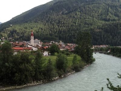
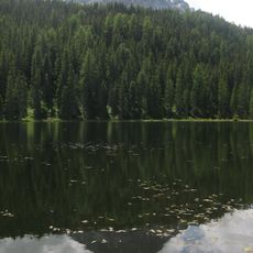
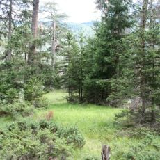
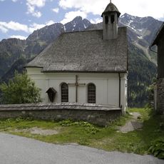
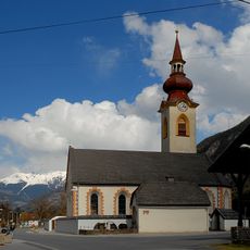
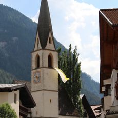
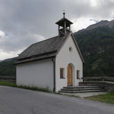
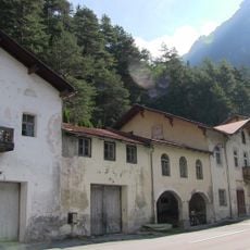
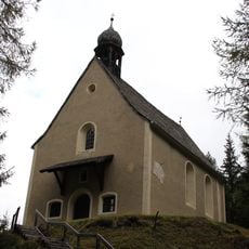
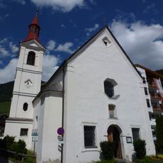
Pfunds is a small municipality in Tyrol, Austria, situated at about 970 meters (3,180 feet) above sea level and surrounded by pine forests, mountains, and pastures. The town consists of two main parts, Dorf and Stuben, along with twelve smaller hamlets featuring historic farmhouses and residential buildings.
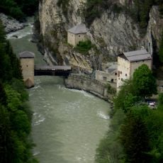
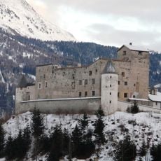
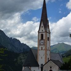
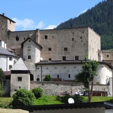
Pfunds was first mentioned in written records in 1282 and served as an important point on local trade routes. The historic bridge and tower house remain from this period, reminding visitors of the town's role as a cultural meeting point in the Alpine region.
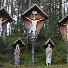
The name Pfunds comes from the Latin word 'fundus,' meaning fertile soil, and reflects the area's agricultural heritage. Residents maintain traditional customs and wear regional clothing during festivals, creating a strong sense of local identity and continuity.
The town is best reached by road and lies about 20 kilometers (12 miles) south of Landeck, just a few kilometers from the Swiss border. Local bus connections and roads make it easy to visit from nearby towns.
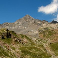
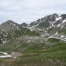
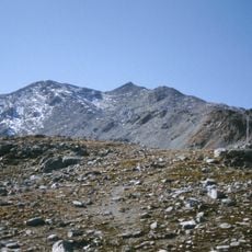
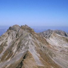
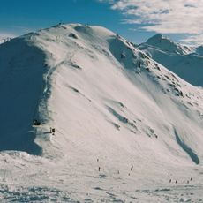
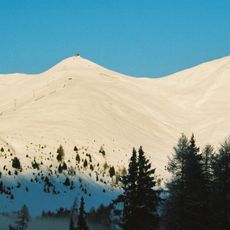
The Pfundser Tschey valley offers an unusual high mountain landscape with tall peaks and green pastures that is rarely found outside Austria. This scenery makes the area a special destination for hikers seeking rare alpine formations and views.
The community of curious travelers
AroundUs brings together thousands of curated places, local tips, and hidden gems, enriched daily by 60,000 contributors worldwide.