
Niederöblarn, former municipality in Austria
Location: Öblarn
Elevation above the sea: 678 m
GPS coordinates: 47.47528,14.02139
Latest update: April 15, 2025 14:50
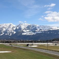
Grimming
5.1 km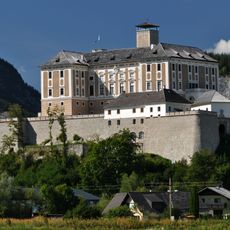
Schloss Trautenfels
6.6 km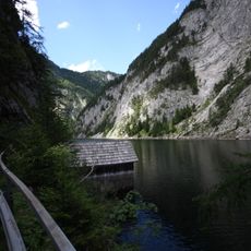
Salza-Stausee
5.8 km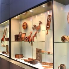
Trautenfels Castle
6.6 km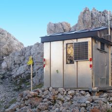
Toni Adam-Dr.-Obersteiner-Biwak
5.2 km
Parish church Sankt Martin am Grimming
3.4 km
Pfarrkirche Öblarn
2.9 km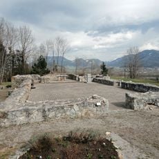
Kirchenruine Neuhaus (Trautenfels)
5.8 km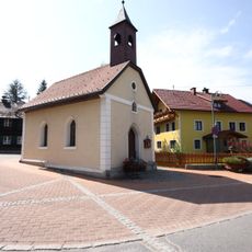
Chapel Raumberg
6.1 km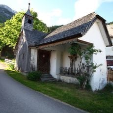
Singerkapelle
4.2 km
Ortskapelle, Trummer-Kapelle
121 m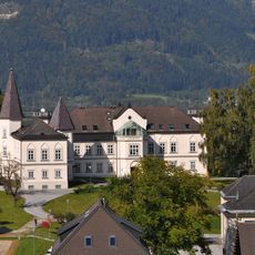
Schloss Gumpenstein, Irdning
6.1 km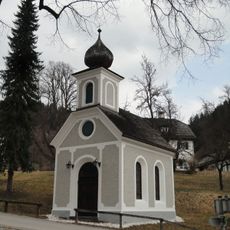
Gstatt-Kapelle
3.2 km
Paula Grogger Museum
2.8 km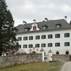
Schloss Gstatt
3.2 km
Universalmuseum Joanneum: Trautenfels Castle
6.6 km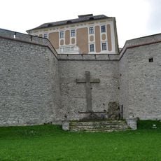
Trautenfels Castle - war memorial
6.7 km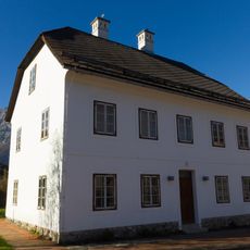
Altirdninger Straße 41
5.6 km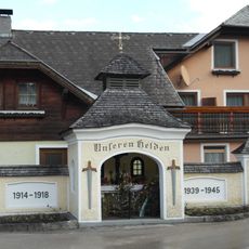
Kriegerdenkmal
2.8 km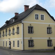
Pfarrhof
2.8 km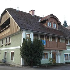
Sog. Schlosserhaus
2.8 km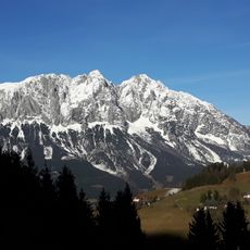
Steinfeldspitze
4.8 km
Figurenbildstock hl. Johannes Nepomuk
6.5 km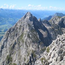
Schartenspitze
4.6 km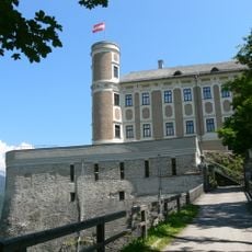
Bastionen von Schloss Trautenfels
6.7 km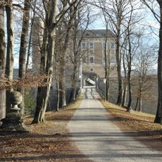
Zufahrtsflankierung
6.5 km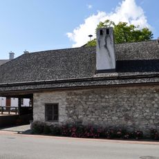
Ehemalige Schmiede, Altirdning
5.6 km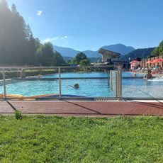
Freibad Öblarn
2.7 kmReviews
Visited this place? Tap the stars to rate it and share your experience / photos with the community! Try now! You can cancel it anytime.
Discover hidden gems everywhere you go!
From secret cafés to breathtaking viewpoints, skip the crowded tourist spots and find places that match your style. Our app makes it easy with voice search, smart filtering, route optimization, and insider tips from travelers worldwide. Download now for the complete mobile experience.

A unique approach to discovering new places❞
— Le Figaro
All the places worth exploring❞
— France Info
A tailor-made excursion in just a few clicks❞
— 20 Minutes