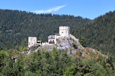
Burgruine Losenheim, Medieval castle ruin in Puchberg am Schneeberg, Austria.
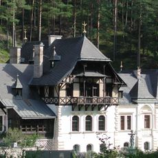
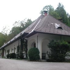
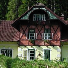
Burgruine Losenheim is a medieval fortified castle located on a hilltop in the mountainous landscape of Lower Austria. The ruins display preserved outer walls, tower structures, and remaining architectural components distributed across the elevated site.
The castle first appears in records through Wulfingo de Losenheim, who occupied the site in the early 13th century. Over the centuries, it fell into decline until preservation work began to stabilize and protect the remaining structures.
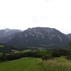
The structure shows medieval building methods typical of the region and stands on an exposed hilltop position characteristic of castles from that period. The stonework techniques and defensive location reflect how fortifications were designed in this area.
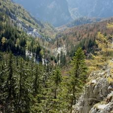
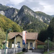
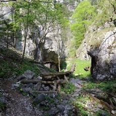
The site is accessible via marked hiking paths that depart from Puchberg am Schneeberg and lead uphill to the ruins. Information boards along the trail provide guidance and help visitors navigate the approach.
The site was deliberately positioned as an elevated fortress designed to monitor the surrounding landscape and serve as a defensive stronghold. This strategic placement reveals how critical controlling the mountain region was for the inhabitants of the time.
The community of curious travelers
AroundUs brings together thousands of curated places, local tips, and hidden gems, enriched daily by 60,000 contributors worldwide.