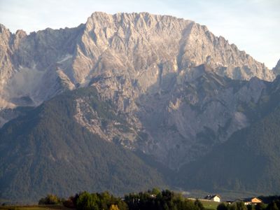
Hochplattig, Mountain summit in Tyrol, Austria
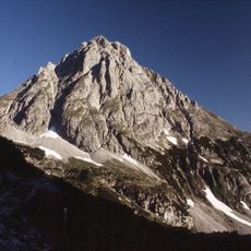
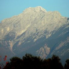
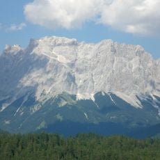
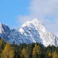
Hochplattig is a mountain summit in the Northern Alps with an elevation of 2,768 meters and stands as the highest point in the Mieming Chain. The mountain spreads across a ridge with several distinct peaks connected by limestone formations that give the terrain its character.
Hermann von Barth recorded the first ascent of the main summit on August 11, 1872, and Ludwig Purtscheller later reached the west peak in 1883. These early climbs marked the gradual opening of this technically demanding mountain to mountaineers.
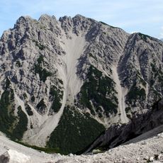
The east summit drew local hunters for generations as they pursued game across the slopes. The main peak, being more technically demanding, remained quieter and retained a more remote character.
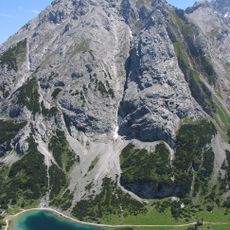
The route requires climbing experience and proper gear since the normal approach involves broken terrain and steep gullies rated at UIAA grade I difficulty. Visitors should prepare for variable conditions and technical demands that need solid experience and honest self-assessment.
The mountain features a ridge stretching about 700 meters that connects three separate summits and creates an unusual profile for climbers to navigate. This extended crest line with its distinct peaks makes the route more complex than a simple point-to-point ascent.
The community of curious travelers
AroundUs brings together thousands of curated places, local tips, and hidden gems, enriched daily by 60,000 contributors worldwide.