Großer Sonnleitstein, Mountain summit in Schwarzau im Gebirge, Austria.
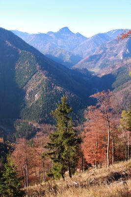
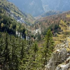
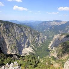
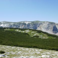
Großer Sonnleitstein is a mountain in the Mürzsteg Alps standing at 1,639 meters with a narrow rocky ridge and steep flanks. The landscape displays typical alpine features with exposed rock formations and forested sections on lower elevations.
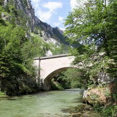
The mountain sits between the Gippel-Göller ridge to the north and the established peaks of Rax and Schneealpe to the south. This location historically connected different alpine routes for travelers crossing the Mürztal region.
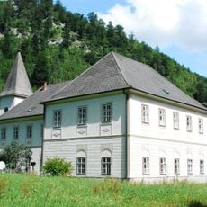
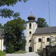
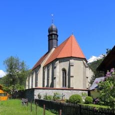
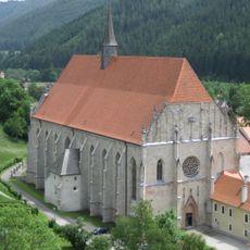
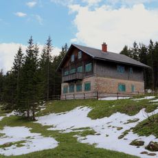
The mountain area maintains traditional Austrian alpine practices, with local communities focusing on nature preservation and sustainable outdoor activities.
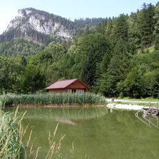
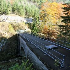
The hike starts from a parking area near Hinternaßwald, following marked trails that initially climb through forest roads before reaching the ridge. Plan for about three hours to complete the ascent to the summit.
On clear days the summit offers a view of the Große Priel mountain in the distance, a sight that reveals the clarity of the air at this elevation. This view changes with weather conditions and adds to the sense of expansive landscape.
Location: Schwarzau im Gebirge
Elevation above the sea: 1,639 m
GPS coordinates: 47.75211,15.63885
Latest update: December 14, 2025 14:21
Kameltheater Kernhof
10.7 km
Kameltheater
10.7 km
Naturpark Mürzer Oberland
9.3 km
Weichtal
10.2 km
Evangelische Pfarrkirche Naßwald
4.5 km
Höllentalaussicht
9.2 km
Naturpark Falkenstein
8.5 km
Saint Nicholas Church
8.3 km
Grünangerkirche Neuberg
10.7 km
Pfarrkirche Neuberg an der Mürz
10.9 km
Wohnhauskirche Neuberg an der Mürz
10.8 km
Höllentalquellen-Denkmal
9.1 km
Dreimarkstein
7.5 km
Reißtalquelle
2.8 km
Evangelischer Friedhof Naßwald
5.4 km
Cemetery Neuberg
10.7 km
Kaiser Franz Joseph-Kapelle
8.2 km
Hubmer-Gedächtnisstätte Naßwald
4.1 km
Mariensäule Preiner Gscheid
10.6 km
Forstdirektion der Gemeinde Wien
5.3 km
Hochstegaquädukt
10.6 km
Meierhof
10.7 km
Teil der 1. Wiener Hochquellenleitung
10.6 km
Teil der 1. Wiener Hochquellenleitung, Hochsteg
10.6 km
Teil der 1. Wiener Hochquellenleitung, Hochsteg
10.4 km
Ehem. Hammerherrenhaus mit Wirtschaftsgebäude
8.9 km
Berghaus
9.6 km
Hochstegaquädukt
10.6 kmVisited this place? Tap the stars to rate it and share your experience / photos with the community! Try now! You can cancel it anytime.
Discover hidden gems everywhere you go!
From secret cafés to breathtaking viewpoints, skip the crowded tourist spots and find places that match your style. Our app makes it easy with voice search, smart filtering, route optimization, and insider tips from travelers worldwide. Download now for the complete mobile experience.
A unique approach to discovering new places❞
— Le Figaro
All the places worth exploring❞
— France Info
A tailor-made excursion in just a few clicks❞
— 20 Minutes