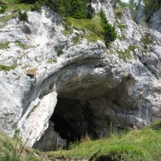
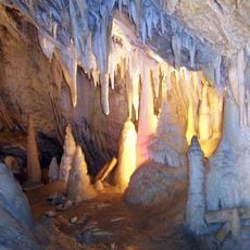
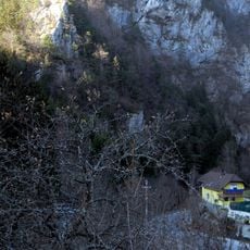
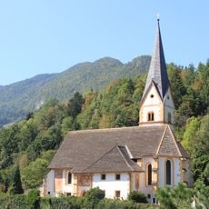
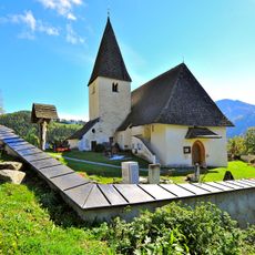
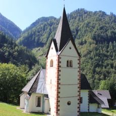
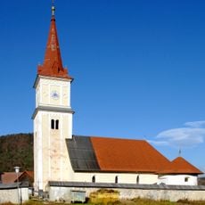
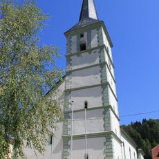
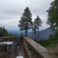
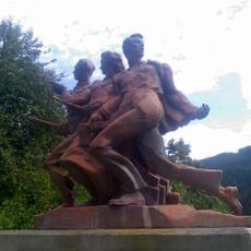
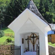
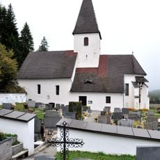
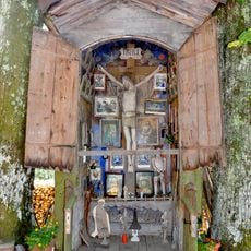
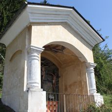
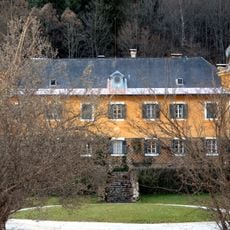
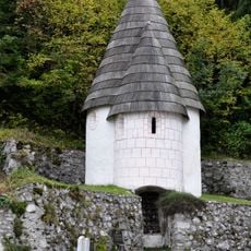
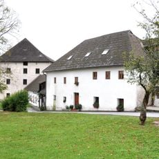
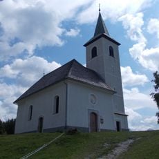
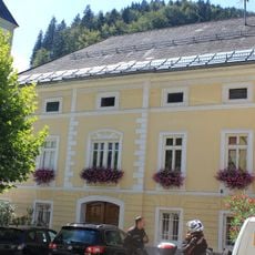
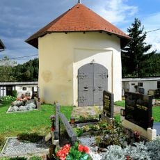
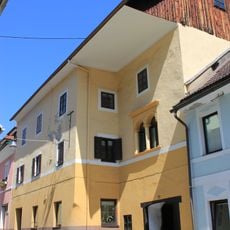
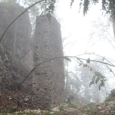
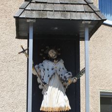
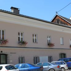
Bad Eisenkappel, part of a municipality located in the Vellach Valley in the Karawanken mountain range
Location: Eisenkappel-Vellach
Elevation above the sea: 554 m
GPS coordinates: 46.48333,14.60000
Latest update: May 24, 2025 02:18
Potok Cave
6.5 km
Obir Dripstone Caves
4.9 km
Türkenschanze Bad Eisenkappel
1.9 km
Eisenkappel - Maria Dorn
1.1 km
Pfarrkirche hl. Johannes d. T., Ebriach
5.4 km
Burgruine Rechberg
5.2 km
Kirche St Margaretha bei Eisenkappel
5.2 km
Pfarrkirche hl. Helena, Sittersdorf
6.8 km
Pfarrkirche Eisenkappel
538 m
Erlebnisfreibad Bad Eisenkappel
1.1 km
Filialkirche hl. Andreas, Altendorf
7.4 km
Filialkirche hl. Leonhard, Ebriach, Eisenkappel
5.8 km
Obir Tropfsteinhöhle Eingang
4.9 km
Partisanendenkmal Völkermarkt und Eisenkappel-Vellach
7 km
Eisenkappel - Rohrerkreuz
543 m
Pfarrkirche Heiliger Bartholomäus (Rechberg)
5.1 km
Kapelle Kožamurnik
3.7 km
Eisenkappel - Wegkapelle
985 m
Hagenegg castle
721 m
Karner Rechberg
5.1 km
Schloss Rechberg
5.1 km
Holy Spirit Church, Podolševa
7.1 km
Pfarrhof Eisenkappel
653 m
Karner Sittersdorf
6.8 km
Wostebehausung
567 m
Burgruine Rechberg
5.2 km
Figur hl. Johannes Nepomuk
745 m
Bezirksgericht
666 mReviews
Visited this place? Tap the stars to rate it and share your experience / photos with the community! Try now! You can cancel it anytime.
Discover hidden gems everywhere you go!
From secret cafés to breathtaking viewpoints, skip the crowded tourist spots and find places that match your style. Our app makes it easy with voice search, smart filtering, route optimization, and insider tips from travelers worldwide. Download now for the complete mobile experience.
A unique approach to discovering new places❞
— Le Figaro
All the places worth exploring❞
— France Info
A tailor-made excursion in just a few clicks❞
— 20 Minutes