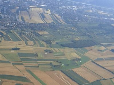
Alte Schanzen, Natural monument in Floridsdorf, Austria
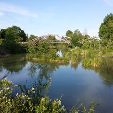
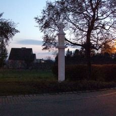
Alte Schanzen is a fortified defensive system with earthen ramparts and stone bastions located in northeastern Vienna's Floridsdorf district. The preserved structures are accessible via walking paths marked with information panels describing the site's military function and natural landscape.
These fortifications were built in 1866 during the conflict between Prussia and Austria as part of a chain of 31 defensive structures protecting Vienna from the northeast. Most of the others were demolished over time due to urban expansion, but this location survived because the hilly terrain resisted development.
These fortifications show how 19th-century residents viewed military defense as essential to their security, embedding earthen walls and bastions into the landscape as a protective ring around the city. The structures reflect the engineering priorities and strategic thinking of that era.
The site is easily accessible on foot with clearly marked trails that allow visitors to explore independently without needing a guide. Wearing comfortable walking shoes is recommended since the terrain is uneven and some paths have steep sections.
Remarkably, this site survived only because the steep, hilly terrain made it economically unviable for agriculture or residential development. This geographic circumstance accidentally transformed a military ruin into a natural preserve.
The community of curious travelers
AroundUs brings together thousands of curated places, local tips, and hidden gems, enriched daily by 60,000 contributors worldwide.