
Mattehanshöhe, mountain in Austria
Location: Salzburg
Elevation above the sea: 2,086 m
GPS coordinates: 46.98233,13.75849
Latest update: August 13, 2025 18:28
Karlbad
5.9 km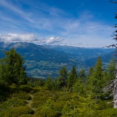
Salzburger Lungau and Kärntner Nockberge
2.9 km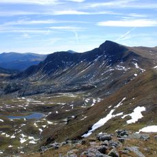
Königstuhl
4.7 km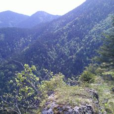
Schwarzwand
5.7 km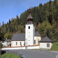
Pfarrkirche Thomatal
10 km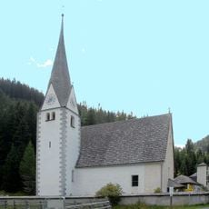
Knappenkirche hl. Andreas, Innerkrems
2.9 km
Bauernmarkt Almwirtschaftsmuseum Zechneralm
4.1 km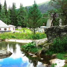
Grundalm
9.7 km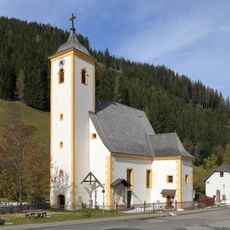
Parish church in Turrach
9.9 km
Thomannbauernkreuz
9.9 km
Czernikapelle
9.8 km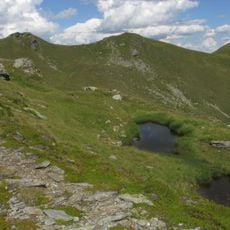
Kleiner Königstuhl
4.4 km
Hochofen, Bundschuh
7.1 km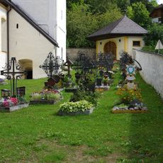
Kirchhof Thomatal
10 km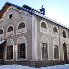
Erzröste
10 km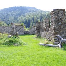
Kohlenbarren, Bundschuh
7.1 km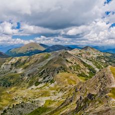
Reißeck
5.8 km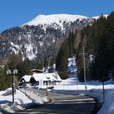
Stubennock
2 km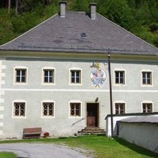
Pfarrhof Thomatal
10 km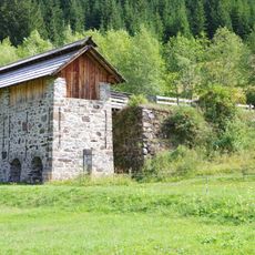
Röstofen, Bundschuh
7 km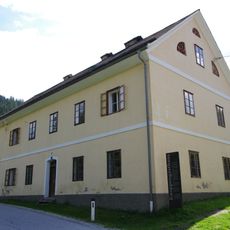
Knappengasthaus, Bundschuh
7.1 km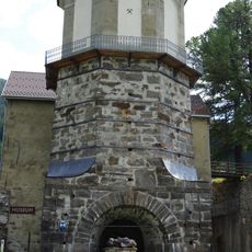
Hochofenmuseum Bundschuh
7.1 km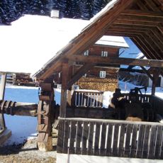
Schwanzhammer samt Wasserrad
9.7 km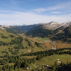
Schönfeld
1 km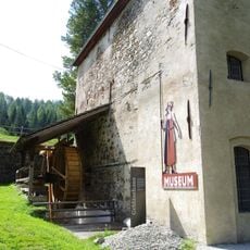
Gebläsehaus, Bundschuh
7.1 km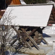
Wasserrad einer ehem. Getreidemühle
9.7 km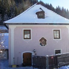
Pfarrhof
9.9 km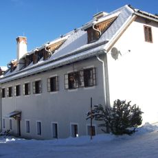
Ehem. Mühle und Schmiede
9.9 kmReviews
Visited this place? Tap the stars to rate it and share your experience / photos with the community! Try now! You can cancel it anytime.
Discover hidden gems everywhere you go!
From secret cafés to breathtaking viewpoints, skip the crowded tourist spots and find places that match your style. Our app makes it easy with voice search, smart filtering, route optimization, and insider tips from travelers worldwide. Download now for the complete mobile experience.

A unique approach to discovering new places❞
— Le Figaro
All the places worth exploring❞
— France Info
A tailor-made excursion in just a few clicks❞
— 20 Minutes