Faulkogel

Log in to your account

AroundUs is a community-driven map of interesting places, built by curious explorers like you. It grows with every review, story, and photo you share.
Connect to save your favorite spots, contribute locations, and create personalized routes.
Continue with Google
Continue with Apple
Continue with X
Continue with Facebook
Continue with email
By continuing, you accept our Terms and Conditions and our Privacy Policy
Create an account

Faulkogel

Add to collection
Map
Suggest a change
Share

Faulkogel, Mountain summit in Radstädter Tauern range, Austria

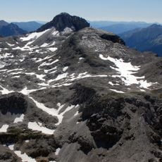
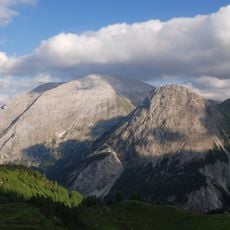
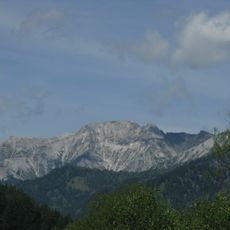
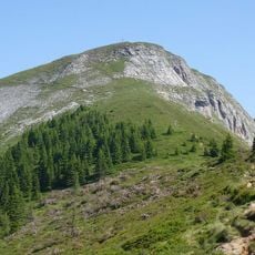
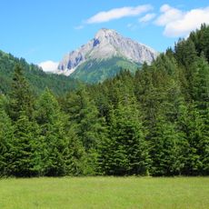
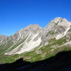
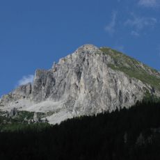
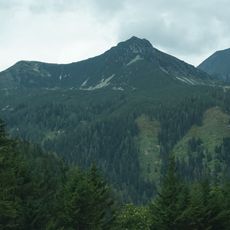
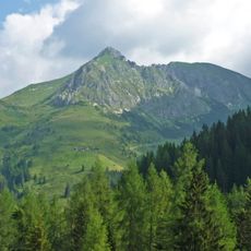
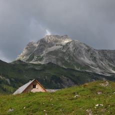
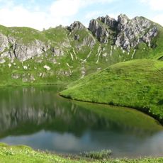
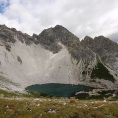
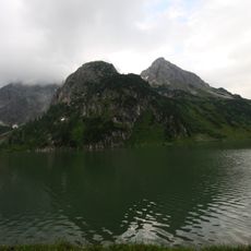
Faulkogel is a mountain summit in the Radstädter Tauern range, rising between the Flachauer Tal, Kleinarltal, and Zederhaustal valleys. The peak reaches 2,654 meters in elevation and features three distinct summits.

In the 18th and early 19th centuries, surveyors incorrectly measured this summit as the highest peak in the region. This error was later corrected when more accurate surveying methods became available.

The mountain's name comes from the German word 'faul', which refers to the loose and weathered rock found near its summit. Hikers notice this distinctive rock type while climbing and quickly understand the origin of the name.

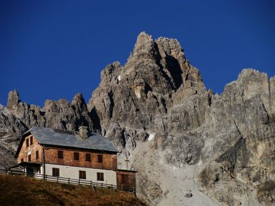
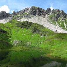
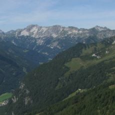
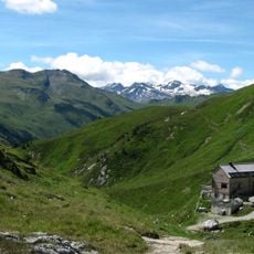
The mountain can be reached via established routes from Riedingtal through Franz-Fischer-Hütte or from Tauernalm near the northern Tauerntunnel portal. Hikers should bring weather-resistant gear since conditions can change rapidly at this elevation.

The summit marks a major watershed point for three significant Austrian river basins. This geographical position makes it hydrographically important, though most visitors overlook this feature.

Location: Kleinarl

Location: Flachau

Location: Zederhaus

Elevation above the sea: 2,654 m

GPS coordinates: 47.21648,13.37193

Latest update: December 14, 2025 14:41

Photos
Reviews

Visited this place? Tap the stars to rate it and share your experience / photos with the community! Try now! You can cancel it anytime.

« Faulkogel - Mountain summit in Radstädter Tauern range, Austria » is provided by Around Us (aroundus.com). Images and texts are derived from Wikimedia project under a Creative Commons license. You are allowed to copy, distribute, and modify copies of this page, under the conditions set by the license, as long as this note is clearly visible.

Discover hidden gems everywhere you go!

From secret cafés to breathtaking viewpoints, skip the crowded tourist spots and find places that match your style. Our app makes it easy with voice search, smart filtering, route optimization, and insider tips from travelers worldwide. Download now for the complete mobile experience.

Around Us App Screenshot

A unique approach to discovering new places

Le Figaro

All the places worth exploring

France Info

A tailor-made excursion in just a few clicks

20 Minutes