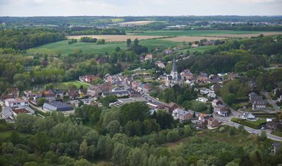
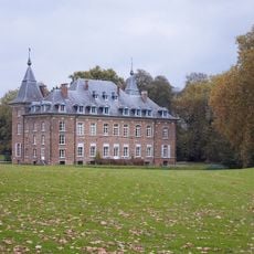
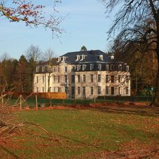
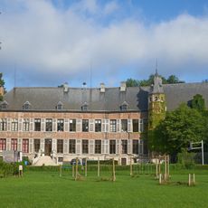
Huldenberg, municipality in Flemish Brabant, Belgium
Location: Arrondissement of Leuven
Capital city: Huldenberg
Elevation above the sea: 48 m
Part of: Emergency zone Flemish Brabant East, Politiezone Voer en Dijle
Shares border with: Bertem, Wavre, Tervuren, Overijse
Phone: +3226883040
Email: onthaal@huldenberg.be
Website: https://huldenberg.be
GPS coordinates: 50.78333,4.58333
Latest update: May 27, 2025 17:37
Doode Bemde
5.3 km
Kasteel van Leefdaal
7.6 km
Castle Huldenberg
715 m
Onze-Lieve-Vrouw van Steenbergenkapel
7.1 km
Abbaye de Florival
5.5 km
Monarkengraf
7.9 km
Castle Neerijse
5.2 km
Kasteel van IJse
3.3 km
Capuchin monastery of Tervuren
5.2 km
De Zuiveringsengel
3.8 km
Roman villa
6.7 km
Begijnhofstadion
3.6 km
Commanderie de la Neuve-Court
4.4 km
Onze-Lieve-Vrouwekerk
740 m
Sint-Pieter en Pauwelkerk
4.8 km
Église Sainte-Agathe de Rhode-Sainte-Agathe
3.6 km
Sint-Agathakerk
3.6 km
Sint-Niklaaskerk
4.1 km
Sint-Antoniuskerk
3.1 km
Church of Our Lady of the Assumption
8.2 km
Sint-Rochuskapel
1 km
Onze-Lieve-Vrouw ten Puikapel
5.2 km
Watertoren
5.1 km
Overijse Churchyard
2 km
Cruysboomkapel
2.9 km
Overijse Churchyard
3.4 km
Sint-Catharinakerk
4.2 km
Saint Martin's church
3.4 kmVisited this place? Tap the stars to rate it and share your experience / photos with the community! Try now! You can cancel it anytime.
Discover hidden gems everywhere you go!
From secret cafés to breathtaking viewpoints, skip the crowded tourist spots and find places that match your style. Our app makes it easy with voice search, smart filtering, route optimization, and insider tips from travelers worldwide. Download now for the complete mobile experience.
A unique approach to discovering new places❞
— Le Figaro
All the places worth exploring❞
— France Info
A tailor-made excursion in just a few clicks❞
— 20 Minutes