
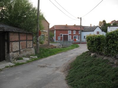
's-Gravenvoeren, section of Voeren, Belgium
Location: Voeren
Elevation above the sea: 97 m
GPS coordinates: 50.75890,5.76080
Latest update: May 27, 2025 17:41
Castle of Mheer
3.2 km
Castle Altenbroek
2.3 km
Sint-Pancratiuskerk
2.1 km
Ottegraeven Castle
3.1 km
Sint-Brigidabron
3.6 km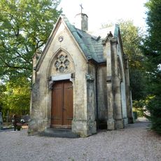
Grafkapel RK Begraafplaats (Mheer)
3.3 km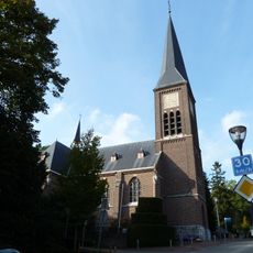
Sint-Lambertuskerk
3.2 km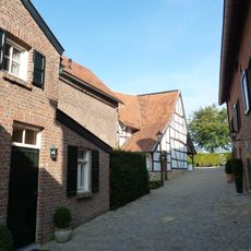
Klompestraat 7, Noorbeek
3.6 km
Steenboskapel
1.4 km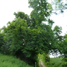
Horse chestnut tree
333 m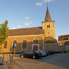
Sint-Lambertuskerk
113 m
Horstergrub
2.2 km
Mheer
3.5 km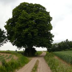
Huuskesboom
2.7 km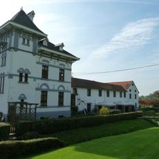
Molen van Altenbroek
2 km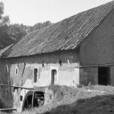
Molen op de Meulenberg, 's-Gravenvoeren
1.2 km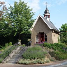
Mariakapel
3.1 km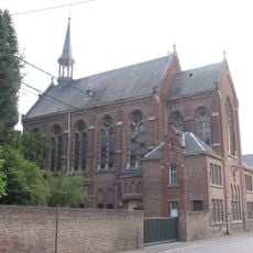
Ursulinenklooster
183 m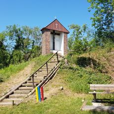
Kapel Trichterbeeldje
1.1 km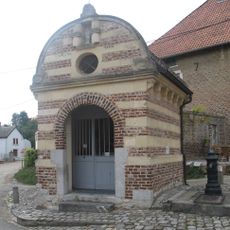
Onze-Lieve-Vrouwekapel
138 m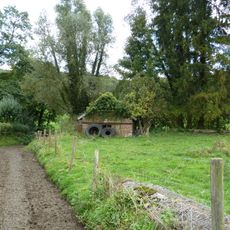
Pompmolen, Sint-Martens-Voeren
3.1 km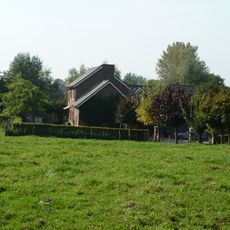
Meuleken
903 m
Molen van Lhomme, 's-Gravenvoeren
787 m
Statue of Sacred Heart of Jesus Christ
3.3 km
Molen Janssen
378 m
Villa Jonge Hagen 7
3.4 km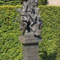
Monument 175 jaar harmonie Mheer
3.2 km
Belgium-Netherlands boundary stone no. 22
3.4 kmReviews
Visited this place? Tap the stars to rate it and share your experience / photos with the community! Try now! You can cancel it anytime.
Discover hidden gems everywhere you go!
From secret cafés to breathtaking viewpoints, skip the crowded tourist spots and find places that match your style. Our app makes it easy with voice search, smart filtering, route optimization, and insider tips from travelers worldwide. Download now for the complete mobile experience.

A unique approach to discovering new places❞
— Le Figaro
All the places worth exploring❞
— France Info
A tailor-made excursion in just a few clicks❞
— 20 Minutes