Enable Location

We need your location to show you interesting places around you

Discover nearby places

Find interesting locations and hidden gems around you

Precise directions

Get accurate directions and distances to places

Your location is never shared with other users. It's only used when you tap the location button.

Voeren

Log in to your account

Start exploring — it's free

Trusted by 61,974 travelers worldwide

Continue with Google
Continue with Apple
or

We will send you a code to connect

By continuing, you accept our Terms and Conditions and our Privacy Policy

Check your inbox

We've sent a pincode in your inbox. Please enter the code below.

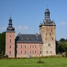
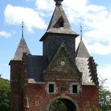
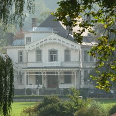
Voeren, Administrative division in Limburg Province, Belgium

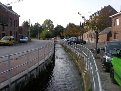
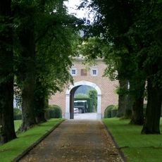
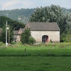
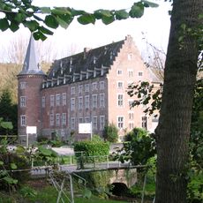
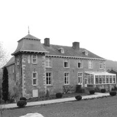
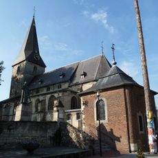
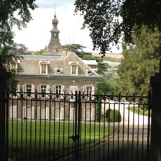
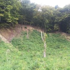
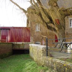
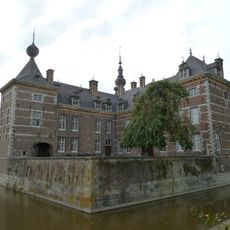
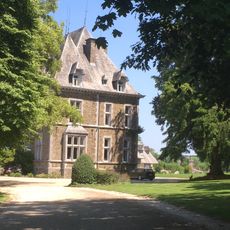
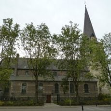
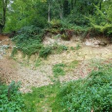
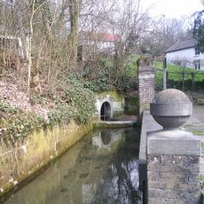
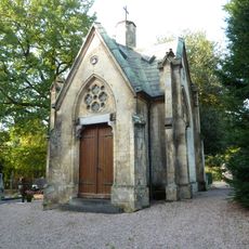
Voeren is a municipality in eastern Belgium spread across six villages between the Netherlands and Liège Province. The landscape features rolling hills, farmland, and the Voer river valley.

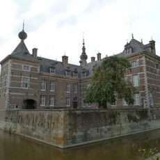
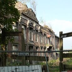
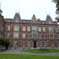
The territory once belonged to the County of Dalhem and the Duchy of Limburg, experiencing transitions under Burgundian and Habsburg rule until the French occupation in 1794. Later administrative changes shifted governance from Liège Province to Limburg Province.

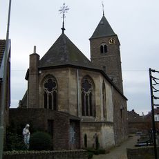
Residents speak Dutch, French, and Limburgish dialects, reflecting the linguistic diversity of this border area. This multilingual character shapes daily life and local traditions throughout the region.

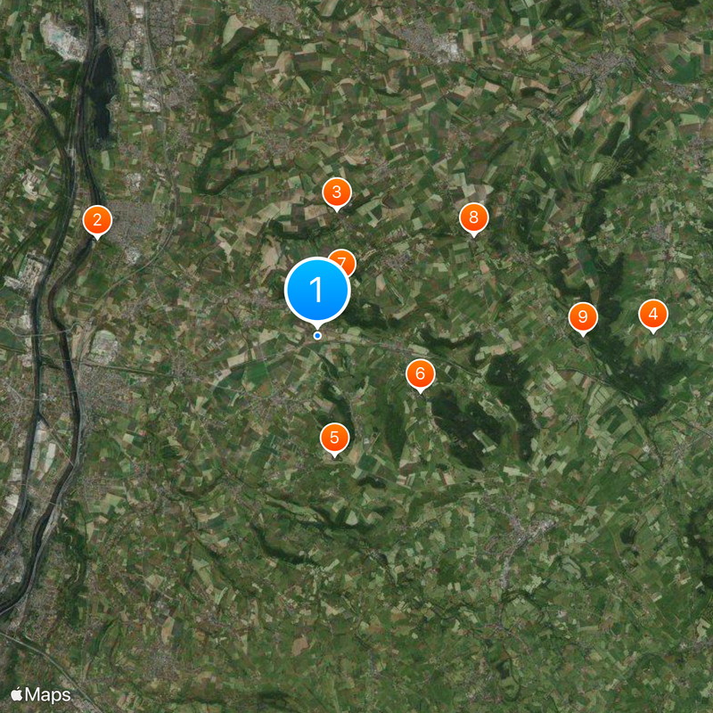
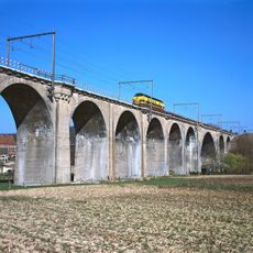
The area is best explored by car, as the villages are connected by regional roads. Nearby cities like Tongeren and Maastricht are accessible via regional routes.

Voeren shares a unique border position with the Netherlands, creating a distinctive blend of Belgian and Dutch influences in daily life. This location has profoundly shaped local customs, language, and everyday practices.

The community of curious travelers

AroundUs brings together thousands of curated places, local tips, and hidden gems, enriched daily by 60,000 contributors worldwide.

Start exploring
Capital city
's-Gravenvoeren
Elevation above the sea
128 m
Part of
Policijska cona Voeren, Emergency zone Limburg East
Shares border with
Eijsden-Margraten, Dalhem, Aubel
Phone
GPS coordinates
50.75000,5.78333
Latest update
December 20, 2025 15:38
« Voeren - Administrative division in Limburg Province, Belgium » is provided by Around Us (aroundus.com). Images and texts are derived from Wikimedia project under a Creative Commons license. You are allowed to copy, distribute, and modify copies of this page, under the conditions set by the license, as long as this note is clearly visible.

Discover hidden gems everywhere you go!

From secret cafés to breathtaking viewpoints, skip the crowded tourist spots and find places that match your style. Our app makes it easy with voice search, smart filtering, route optimization, and insider tips from travelers worldwide. Download now for the complete mobile experience.

Around Us App Screenshot

A unique approach to discovering new places

Le Figaro

All the places worth exploring

France Info

A tailor-made excursion in just a few clicks

20 Minutes

Around Us
Travel Guide & Maps
Download

Send to your phone

QR Code
1

Open the camera app on your mobile.

2

Point at the QR code with your camera. A notification will appear.

3

Tap the notification to open the link.