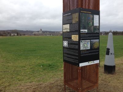
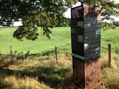
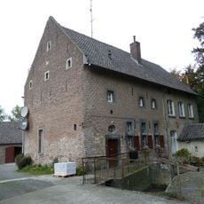
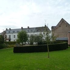
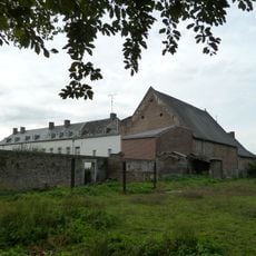
Fort Navagne, Military fortification in Moelingen, Belgium.
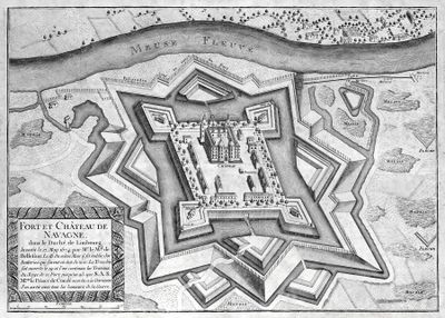
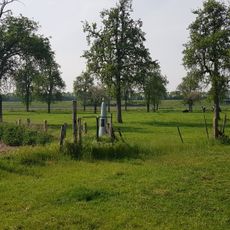
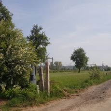
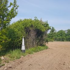
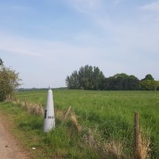
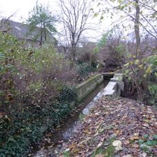
Fort Navagne is a fortification near the Meuse River whose former layout remains visible through ground elevations around the site. The central structure is surrounded by traces of former bastions that mark where the original defenses once stood.
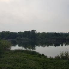
Spanish forces under Francisco de Moncada established the fortification in 1634 and stationed a garrison at this strategic location. The site then controlled the passage for decades.
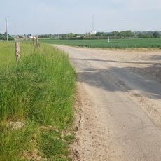
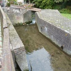
The site served as a control point where merchant vessels were monitored and tolls collected for centuries. Visitors can still observe how this riverside location shaped its daily function.
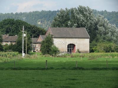
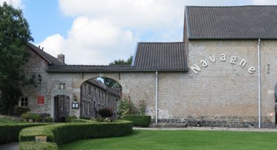
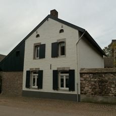
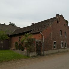
The site is privately owned today and has been converted into residential apartments, so interior access is not available to visitors. The exterior and surrounding grounds can be explored to observe the historical structure from the outside.
During the 2018 drought, the fort's original layout became visible through distinct color patterns in the surrounding landscape. This rare phenomenon revealed the exact extent of the historical defensive structure.
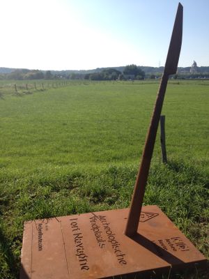
Location: Voeren
GPS coordinates: 50.75701,5.68544
Latest update: December 13, 2025 12:26
Graanmolen van Eijsden
1.8 km
Breustermolen
1.8 km
Pont des Allemands
1.4 km
Weir of Lixhe
598 m
Zaagwatermolen
1.8 km
Meuse bridge
591 m
Canal d'Haccourt à Visé
1.5 km
Railway bridge near Lixhe
1.4 km
Onze-Lieve-Vrouw-Ten-Hemel-Opnemingskerk
1.8 km
Bridge near Lixhe
965 m
Sint-Lambertuskerk
480 m
Belgium-Netherlands boundary stone no. 39b
1.9 km
Belgium-Netherlands boundary stone no. 39c
1.8 km
Belgium-Netherlands boundary stone no. 44
257 m
Reinekenshof
1.5 km
Belgium-Netherlands boundary stone no. 40
1.5 km
Belgium-Netherlands boundary stone no. 41
1.2 km
Belgium-Netherlands boundary stone no. 43
531 m
Kapelkesstraat 70, Eijsden
1.8 km
De la Margellelaan 20, Eijsden
1.7 km
Belgium-Netherlands boundary stone no. 44a
201 m
Belgium-Netherlands boundary stone no. 46B
1.4 km
Hulde van Moelingen aan zijne strijders
1.8 km
Kapelkesstraat 68, Eijsden
1.8 km
Belgium-Netherlands boundary stone no. 42
883 m
Belgium-Netherlands boundary stone no. 45N
128 m
Eijsden Castle: quay walls at former sawmill
1.8 km
Eijsden Castle: diver, channel and aqueduct
1.8 kmVisited this place? Tap the stars to rate it and share your experience / photos with the community! Try now! You can cancel it anytime.
Discover hidden gems everywhere you go!
From secret cafés to breathtaking viewpoints, skip the crowded tourist spots and find places that match your style. Our app makes it easy with voice search, smart filtering, route optimization, and insider tips from travelers worldwide. Download now for the complete mobile experience.
A unique approach to discovering new places❞
— Le Figaro
All the places worth exploring❞
— France Info
A tailor-made excursion in just a few clicks❞
— 20 Minutes