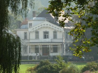
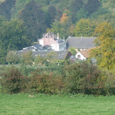
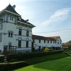
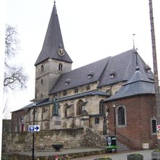
Castle Altenbroek, 18th-century castle in Voeren, Belgium
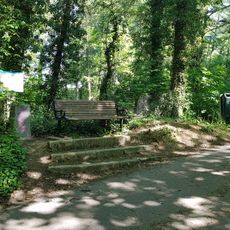
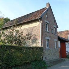
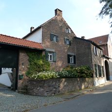
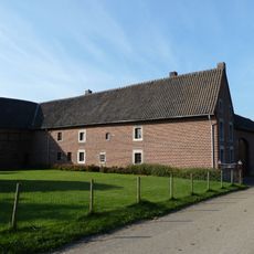
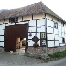
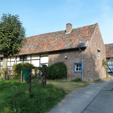
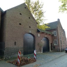
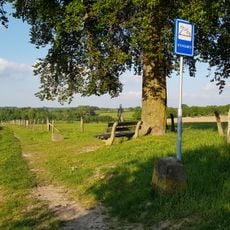
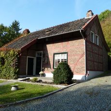
Castle Altenbroek is an 18th-century fortress in the Noor valley near Voeren, built with limestone and featuring a distinctive L-shaped floor plan. The rectangular west wing with its tall windows defines the structure, while the grounds include several ponds and tree-shaded pathways that frame different garden areas.
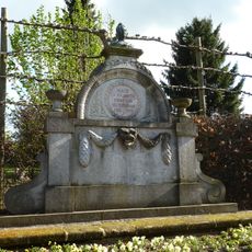
Construction began around 1775 with Jan van Voeren as the first recorded lord, and the property served as a fief under the County of Dalhem. The design and layout reflect the feudal arrangements typical of this border region during that era.
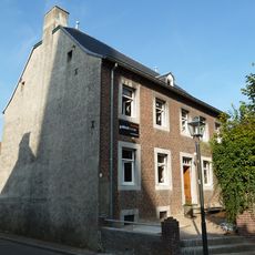
The castle now welcomes visitors as a hotel and restaurant, bringing people together in spaces shaped by centuries of private life. This transformation has made it a gathering place where the building's original character remains visible in daily use.
The castle operates as a hotel and restaurant, allowing visitors to experience it through accommodation or dining, with sit-down meals Wednesday through Saturday and casual bistro fare available throughout the week. The landscaped grounds with pathways and gardens can be explored during your visit.
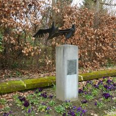
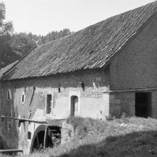
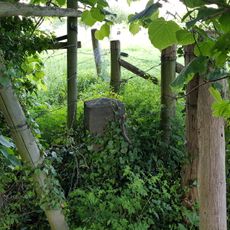
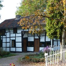
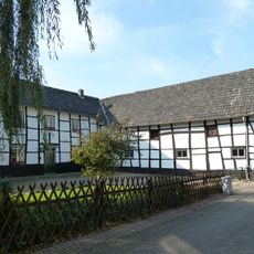
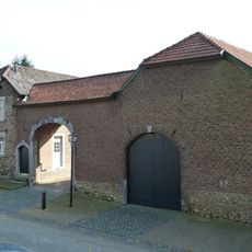
A shepherd's shed on the grounds contains a carved stone dated 1809 with a sheep relief, marking the property's agricultural roots. This crafted stone reveals how important livestock raising was to the estate's identity and daily operations.
The community of curious travelers
AroundUs brings together thousands of curated places, local tips, and hidden gems, enriched daily by 60,000 contributors worldwide.