
Ancienne Brasserie Atlas, brouwerij in Anderlecht, België
Location: Anderlecht
Architectural style: Art Deco architecture
GPS coordinates: 50.83886,4.31422
Latest update: May 3, 2025 01:45

NMBS/SNCB
1.6 km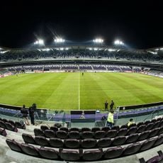
Lotto Park
1.2 km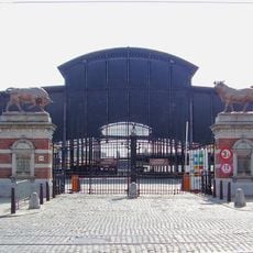
Abattoir
946 m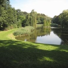
Astrid Park
1.3 km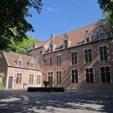
Erasmus House
500 m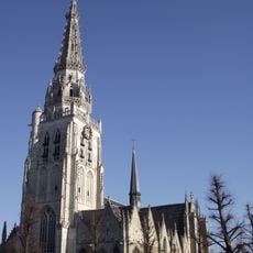
Collegiate Church of St. Peter and St. Guy
620 m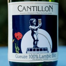
Brussels Museum van de Geuze
1.5 km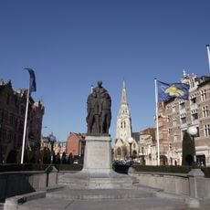
Place de la Vaillance - Dapperheidsplein
653 m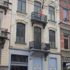
National Museum of the Resistance
964 m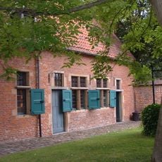
Beguinage of Anderlecht
596 m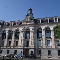
Veeartsenijschool van Kuregem en zijn park
971 m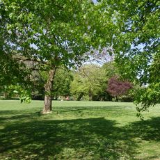
Parc Forestier
349 m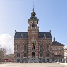
Town hall of Anderlecht
1 km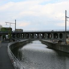
Pont Vierendeel d'Anderlecht/Anderlechtse Vierendeelbrug
292 m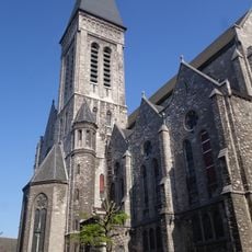
Church of St. Francis Xavier
857 m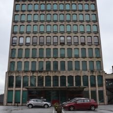
Former ASAR building
1.5 km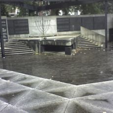
National Memorial to the Jewish Martyrs of Belgium
733 m
Tintin and Snowy sign
1.5 km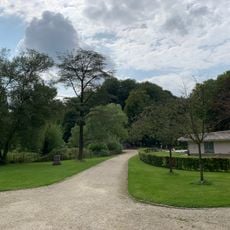
Parc Marie-José - Marie-Josépark
1.4 km
Parc Albert
1.4 km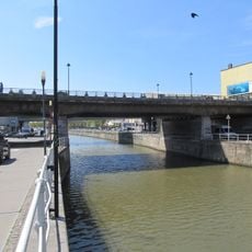
Pont Ropsy Chaudron - Ropsy-Chaudronbrug
1.1 km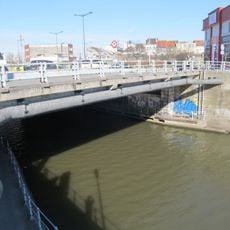
Pont de Cureghem - Kuregembrug
350 m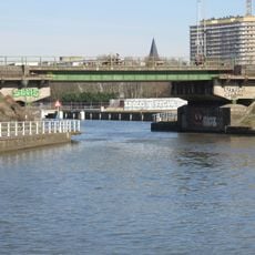
Pierre Marchant Bridge
772 m
Pont des Hospices - Godshuizenbrug
1.4 km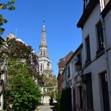
Rue Porselein - Porseleinstraat
720 m
Zuidmarkt
1.5 km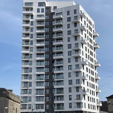
EKLA
1.3 km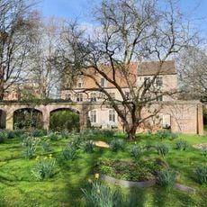
Garden of Erasmus House
500 mReviews
Visited this place? Tap the stars to rate it and share your experience / photos with the community! Try now! You can cancel it anytime.
Discover hidden gems everywhere you go!
From secret cafés to breathtaking viewpoints, skip the crowded tourist spots and find places that match your style. Our app makes it easy with voice search, smart filtering, route optimization, and insider tips from travelers worldwide. Download now for the complete mobile experience.

A unique approach to discovering new places❞
— Le Figaro
All the places worth exploring❞
— France Info
A tailor-made excursion in just a few clicks❞
— 20 Minutes