Anderlecht, Municipality in Brussels-Capital Region, Belgium
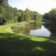
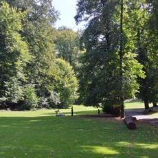
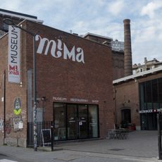
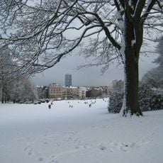
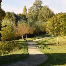
Anderlecht is a municipality in the southwestern part of Brussels-Capital Region with residential neighborhoods, shopping areas, and multiple parks distributed throughout its territory. The area includes different zones that serve various purposes, from housing to commerce.
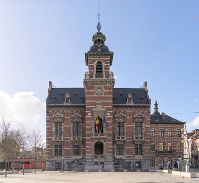
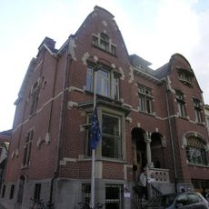
The first written record of this place dates to 1047 when it was a rural settlement. Its current form developed when the area became a municipality during the French Revolutionary period.
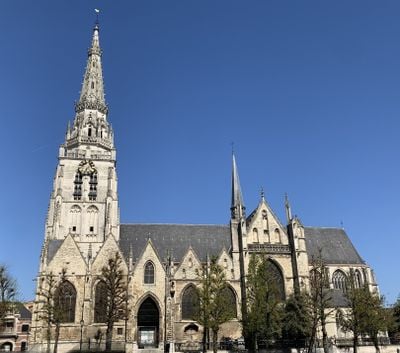
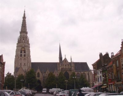
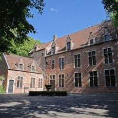
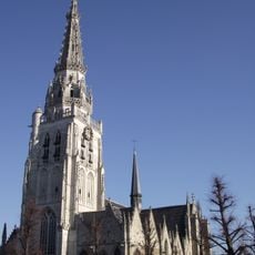
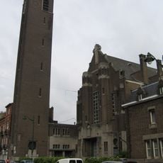
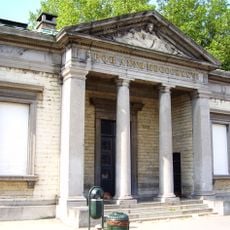
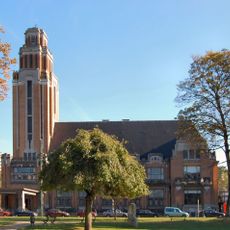
The Collegiate Church of St. Peter and St. Guido displays Gothic details and artworks that reflect local religious history through its interior decoration. Visitors can observe how the building serves as a gathering place that connects residents to their community's past.
The area connects to central Brussels through multiple metro stations, bus lines, and cycling paths, making it easy to travel between different parts. Visitors can move around using various transportation options available throughout the municipality.
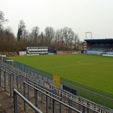
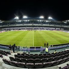
A sports club founded in 1908 has become one of the most successful teams in the country and plays at the Lotto Park stadium before thousands of fans. The club's long record of achievement shapes how locals view their neighborhood.
Location: Arrondissement of Brussels-Capital
Elevation above the sea: 21 m
Operator: Commune d'Anderlecht - Gemeente Anderlecht
Part of: Brussels Fire Department, Police Zone South
Shares border with: City of Brussels, Drogenbos, Sint-Pieters-Leeuw, Molenbeek
Phone: +3225580800
Email: info@anderlecht.brussels
Website: https://anderlecht.be
GPS coordinates: 50.83917,4.32972
Latest update: December 14, 2025 18:05
Joseph Marien Stadium
2.4 km
NMBS/SNCB
575 m
Lotto Park
2.3 km
Forest National
3.3 km
South Tower
580 m
Abattoir
439 m
Astrid Park
2.3 km
Timmermans brewery
5.8 km
Erasmus House
1.5 km
Duden Park
2.5 km
Collegiate Church of St. Peter and St. Guy
1.7 km
Forest Abbey
3.3 km
WIELS
1.7 km
Brussels Museum van de Geuze
503 m
Church of St. Augustine
2.6 km
Millennium Iconoclast Museum of Art
1.3 km
Forest park
1.9 km
Food and Chemical Industries Education and Research Center
3.7 km
Scheut
1.9 km
Au Vieux Spijtigen Duivel
3.5 km
Kasteel de Viron
4.7 km
Place de la Vaillance - Dapperheidsplein
1.7 km
National Museum of the Resistance
128 m
Scheutbos Park
2.9 km
Forest-South railway station
3.8 km
Sewer Museum
882 m
Westrand
5 km
Forest Town Hall
3.2 kmVisited this place? Tap the stars to rate it and share your experience / photos with the community! Try now! You can cancel it anytime.
Discover hidden gems everywhere you go!
From secret cafés to breathtaking viewpoints, skip the crowded tourist spots and find places that match your style. Our app makes it easy with voice search, smart filtering, route optimization, and insider tips from travelers worldwide. Download now for the complete mobile experience.
A unique approach to discovering new places❞
— Le Figaro
All the places worth exploring❞
— France Info
A tailor-made excursion in just a few clicks❞
— 20 Minutes