
La Guingueta d'Àneu, municipality in the comarca of the Pallars Sobirà in Catalonia, Spain
Location: Pallars Sobirà
Elevation above the sea: 919 m
Shares border with: Alt Àneu, Lladorre, Vall de Cardós, Llavorsí, Rialb, Espot, Esterri d'Àneu
Website: http://guingueta.ddl.net
GPS coordinates: 42.59506,1.13128
Latest update: April 24, 2025 09:00
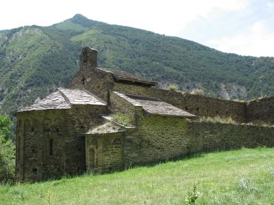
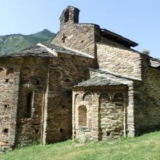
Sant Pere del Burgal
6.2 km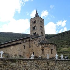
Sant Just i Sant Pastor de Son
4 km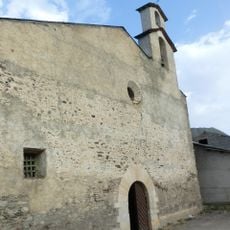
Santa Maria d'Àneu
2.3 km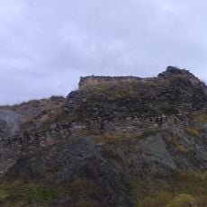
Castell de València d'Àneu
4.3 km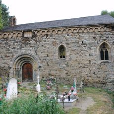
Sant Joan d'Isil
9.8 km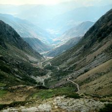
Camí de l'Estany de la Gola
5.9 km
Sant Julià d'Unarre
4.6 km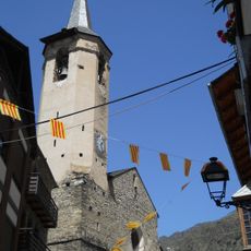
Sant Vicenç d'Esterri d'Àneu
3.7 km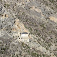
Mare de Déu de la Roca
5.5 km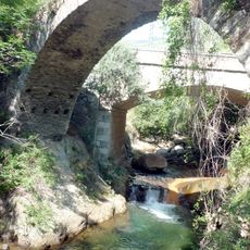
Pont de la Torrassa
2.3 km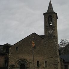
Sant Lliser d'Alós d'Isil
12.1 km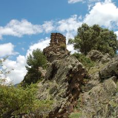
Castell de Llort
2.6 km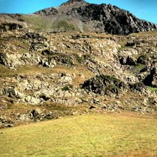
Pico de Ventolau
11.7 km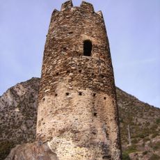
Torre d'Escaló
5.5 km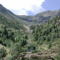
Campirme
8.8 km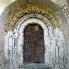
Sant Llorenç d'Isavarre
6.7 km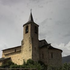
Sant Andreu de València d'Àneu
4.7 km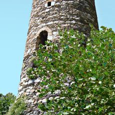
Torre dels Moros
4.4 km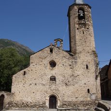
Sant Martí de Borén
8.3 km
Sant Martí d'Escalarre
2.3 km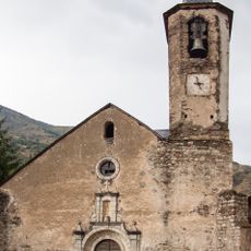
Església de la Immaculada d'Isil
10.1 km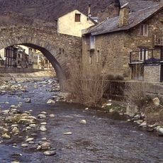
Pont d'Esterri
3.7 km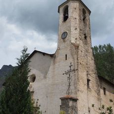
Santa Llogaia d'Espot
4 km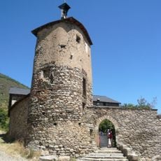
Torre de Son
4 km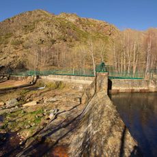
Cerbi dam
6.7 km
Planell de Sartari
9.6 km
Sant Bartomeu de Dorve
1.5 km
Vila closa d'Escaló
5.6 kmReviews
Visited this place? Tap the stars to rate it and share your experience / photos with the community! Try now! You can cancel it anytime.
Discover hidden gems everywhere you go!
From secret cafés to breathtaking viewpoints, skip the crowded tourist spots and find places that match your style. Our app makes it easy with voice search, smart filtering, route optimization, and insider tips from travelers worldwide. Download now for the complete mobile experience.

A unique approach to discovering new places❞
— Le Figaro
All the places worth exploring❞
— France Info
A tailor-made excursion in just a few clicks❞
— 20 Minutes