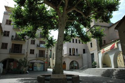
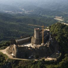
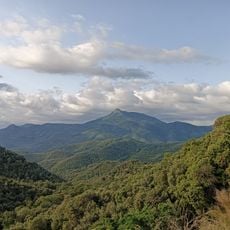
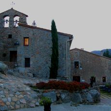
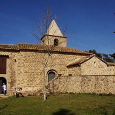
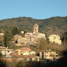
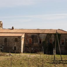
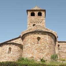
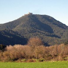
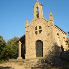
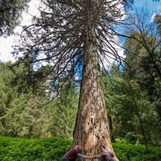
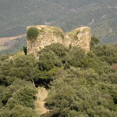
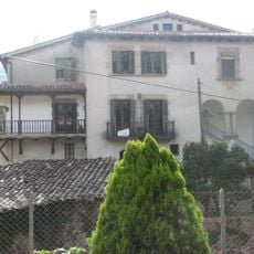
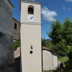
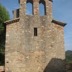
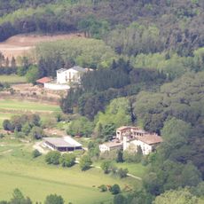
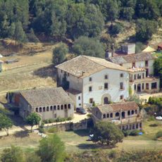
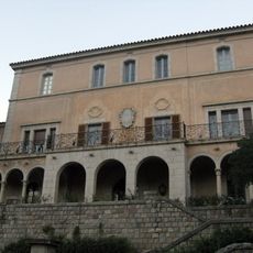
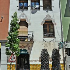
Arbúcies, village in the province of Girona and autonomous community of Catalonia, Spain
Location: Selva
Location: Province of Girona
Elevation above the sea: 291 m
Shares border with: Sant Hilari Sacalm, Santa Coloma de Farners, Riells i Viabrea, Fogars de Montclús, Viladrau, Montseny, Sant Feliu de Buixalleu, Espinelves
Website: http://arbucies.cat
GPS coordinates: 41.81611,2.51417
Latest update: March 6, 2025 18:29
Montsoriu Castle
4.3 km
Les Agudes
6.5 km
Sant Marçal de Montseny
7.9 km
Sant Miquel
6.1 km
Arboretum de Masjoan
10.4 km
Sant Salvi de Cladells
8.1 km
Església de Sant Vicenç d'Espinelves
9.9 km
Turó de Montsoriu
4.3 km
Ermita del Nen Jesús de Praga
6.1 km
Sequoia de Masjoan
10.4 km
Torre de les Bruixes
4.1 km
Sant Pere Desplà
4.3 km
Taula dels Tres Bisbes
8.1 km
Molí de les Pipes
1.7 km
Mare de Déu de la Pietat d'Arbúcies
432 m
El Regàs
5.2 km
Sant Mateu de Joanet
3.3 km
Santa Maria de Lliors
6.5 km
Càdec del Boixaus
4.7 km
Els Cortals
7 km
Sant Quirze d'Arbúcies
28 m
Pont del Molí de les Pipes
1.8 km
Mollfulleda
2.9 km
Can Blanc
2.2 km
Ca n'Horta
4.9 km
El Roquer
119 m
Biblioteca Rafael Vilà Barnils
12 m
Granja Royal
122 mReviews
Visited this place? Tap the stars to rate it and share your experience / photos with the community! Try now! You can cancel it anytime.
Discover hidden gems everywhere you go!
From secret cafés to breathtaking viewpoints, skip the crowded tourist spots and find places that match your style. Our app makes it easy with voice search, smart filtering, route optimization, and insider tips from travelers worldwide. Download now for the complete mobile experience.
A unique approach to discovering new places❞
— Le Figaro
All the places worth exploring❞
— France Info
A tailor-made excursion in just a few clicks❞
— 20 Minutes