Enable Location

We need your location to show you interesting places around you

Discover nearby places

Find interesting locations and hidden gems around you

Precise directions

Get accurate directions and distances to places

Your location is never shared with other users. It's only used when you tap the location button.

Llívia

Log in to your account

Start exploring — it's free

Trusted by 61,866 travelers worldwide

Continue with Google
Continue with Apple
or

We will send you a code to connect

By continuing, you accept our Terms and Conditions and our Privacy Policy

Check your inbox

We've sent a pincode in your inbox. Please enter the code below.

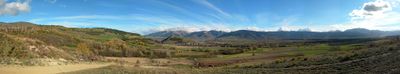
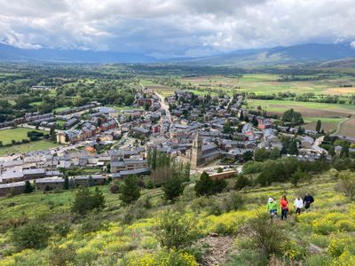
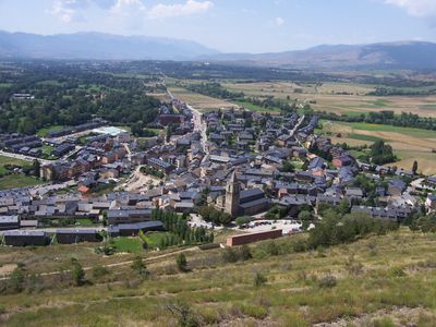
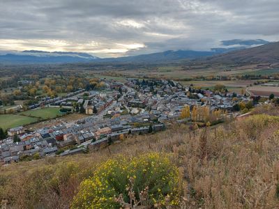
Llívia, Spanish enclave in Pyrénées-Orientales, France

Description

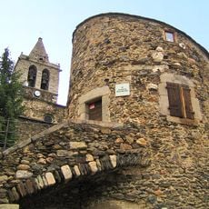
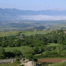
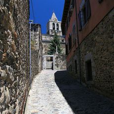
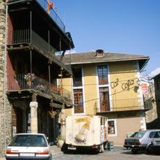
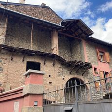
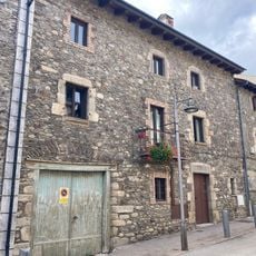
Llívia is a Spanish municipality in the eastern Pyrenees fully surrounded by the French department of Pyrénées-Orientales. The core of the settlement spreads around a raised central point and forms a compact urban pattern with narrow lanes and traditional stone architecture.

History

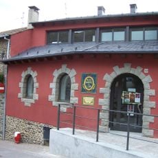
The treaty of 1659 handed the surrounding villages of Cerdanya to France, but this settlement kept its status as Spanish territory. The decision rested on the distinction between village and town, which carried legal weight at the time.

Culture

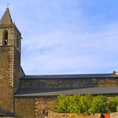
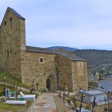
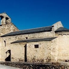
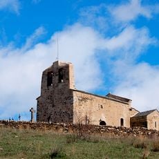
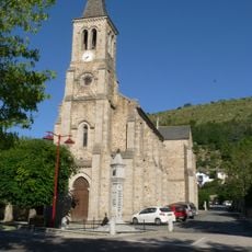
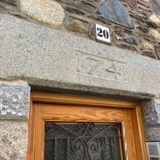
The medieval past of the settlement shows in the preserved Romanesque church, whose compact structure shapes the townscape. Local people use the narrow lanes of the old center as pathways between the small squares where daily life takes place.

Practical

A road designated as neutral connects the territory to Spanish Puigcerdà and allows passage without major formalities. Visitors should note that mobile phone networks may switch between Spanish and French providers.

Did you know?

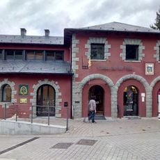
The historic pharmacy in the center still displays its original furniture and apothecary vessels from the 18th century. It ranks among the best preserved pharmacies in Europe and is often presented as a museum.

Location
Capital city
Llivia
Elevation above the sea
1,224 m
Part of
Mancomunitat Intermunicipal de la Cerdanya
Shares border with
Angoustrine-Villeneuve-des-Escaldes, Targasonne, Estavar, Bourg-Madame, Sainte-Léocadie, Saillagouse, Ur, Villeneuve-des-Escaldes
GPS coordinates
42.46393,1.97907
Latest update
December 12, 2025 23:39

AroundUs brings together thousands of curated places, local tips, and hidden gems, enriched daily by 60,000 contributors worldwide. Discover all places nearby (Lower Cerdanya).

« Llívia - Spanish enclave in Pyrénées-Orientales, France » is provided by Around Us (aroundus.com). Images and texts are derived from Wikimedia project under a Creative Commons license. You are allowed to copy, distribute, and modify copies of this page, under the conditions set by the license, as long as this note is clearly visible.

Discover hidden gems everywhere you go!

From secret cafés to breathtaking viewpoints, skip the crowded tourist spots and find places that match your style. Our app makes it easy with voice search, smart filtering, route optimization, and insider tips from travelers worldwide. Download now for the complete mobile experience.

Around Us App Screenshot

A unique approach to discovering new places

Le Figaro

All the places worth exploring

France Info

A tailor-made excursion in just a few clicks

20 Minutes

Around Us
Travel Guide & Maps
Download

Send to your phone

QR Code
1

Open the camera app on your mobile.

2

Point at the QR code with your camera. A notification will appear.

3

Tap the notification to open the link.