Eibar

Log in to your account

AroundUs is a community-driven map of interesting places, built by curious explorers like you. It grows with every review, story, and photo you share.
Connect to save your favorite spots, contribute locations, and create personalized routes.
Continue with Google
Continue with Apple
Continue with X
Continue with Facebook
Continue with email
By continuing, you accept our Terms and Conditions and our Privacy Policy
Create an account
Add to collection
Map
Suggest a change
Share

Eibar, Industrial municipality in Gipuzkoa, Basque Country, Spain

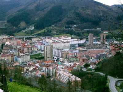
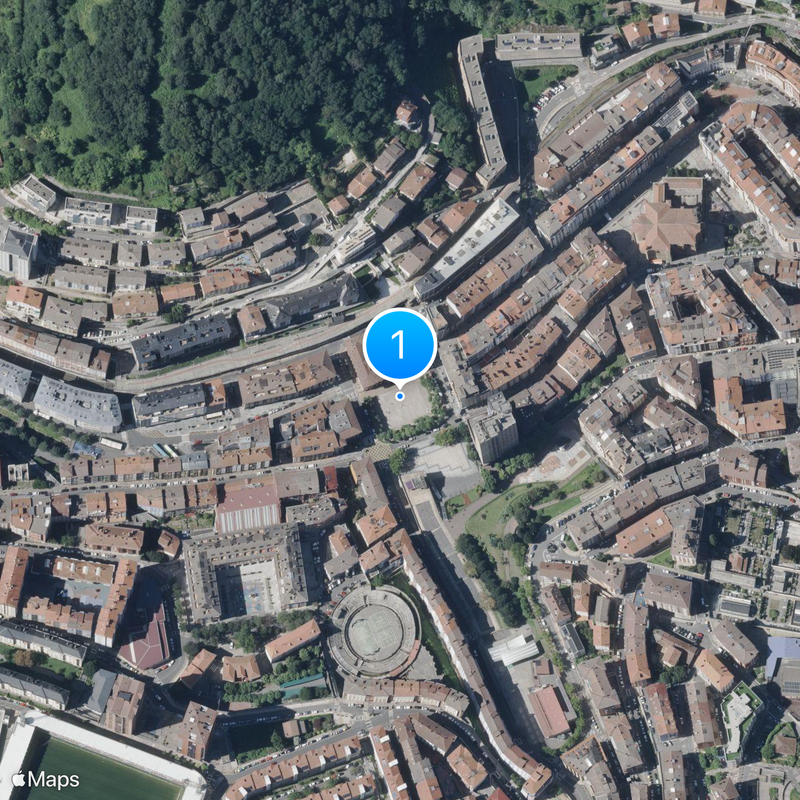
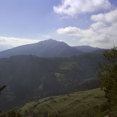
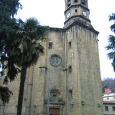
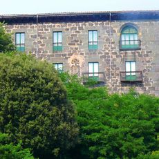
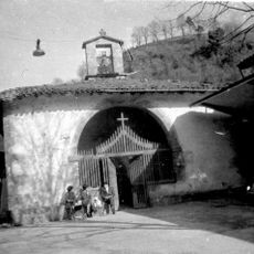
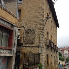
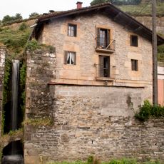
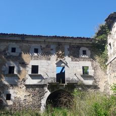
Eibar sits in the Ego river valley within the Debabarrena area, spreading between forested mountain slopes at around 120 meters elevation. The settlement stretches along the watercourse, with narrow streets and multi-story buildings filling the limited flat space between the slopes.

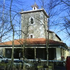
King Alfonso XI of Castile founded the settlement in 1346 under the name Villanueva de San Andrés de Heybar, granting it town privileges. Metalworking became the main livelihood from the 16th century onward and shaped the economic development of the place for centuries.

The name combines a Basque word for pasture with a centuries-old tradition of crafting firearms, still visible in workshops and training centers across the valley. Residents maintain this artisan identity through regular events and local initiatives that keep technical heritage alive and pass it on to younger generations.

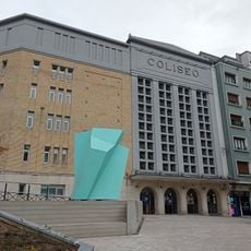
The AP-8 motorway and trains from Euskotren connect the place regularly with San Sebastián and Bilbao. Visitors find most facilities in the narrow valley floor, where short walks between streets and squares suffice to explore the center.

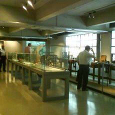
The Escuela de Armería has existed since the 19th century and still trains young professionals in metalworking and mechanical engineering today. On site, engraved small arms from past centuries can also be viewed in local collections.

Location: Debabarrena

Inception: February 5, 1346

Capital city: Eibar

Elevation above the sea: 121 m

Part of: Debabarrena Eskualdeko Mankomunitatea

Shares border with: Markina-Xemein, Mallabia, Ermua, Zaldibar, Elgeta, Bergara, Soraluze-Placencia de las Armas, Elgoibar

Website: http://eibar.eus

GPS coordinates: 43.18428,-2.47328

Latest update: December 14, 2025 21:19

Photos
Reviews

Visited this place? Tap the stars to rate it and share your experience / photos with the community! Try now! You can cancel it anytime.

« Eibar - Industrial municipality in Gipuzkoa, Basque Country, Spain » is provided by Around Us (aroundus.com). Images and texts are derived from Wikimedia project under a Creative Commons license. You are allowed to copy, distribute, and modify copies of this page, under the conditions set by the license, as long as this note is clearly visible.

Discover hidden gems everywhere you go!

From secret cafés to breathtaking viewpoints, skip the crowded tourist spots and find places that match your style. Our app makes it easy with voice search, smart filtering, route optimization, and insider tips from travelers worldwide. Download now for the complete mobile experience.

Around Us App Screenshot

A unique approach to discovering new places

Le Figaro

All the places worth exploring

France Info

A tailor-made excursion in just a few clicks

20 Minutes