Enable Location

We need your location to show you interesting places around you

Discover nearby places

Find interesting locations and hidden gems around you

Precise directions

Get accurate directions and distances to places

Your location is never shared with other users. It's only used when you tap the location button.

Arganda del Rey

Log in to your account

Start exploring — it's free

Trusted by 62,063 travelers worldwide

Continue with Google
Continue with Apple
or

We will send you a code to connect

By continuing, you accept our Terms and Conditions and our Privacy Policy

Check your inbox

We've sent a pincode in your inbox. Please enter the code below.

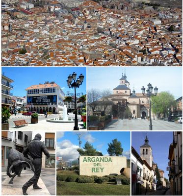
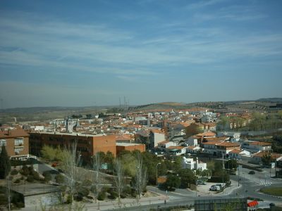
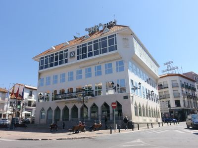
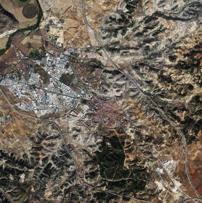
Arganda del Rey, Municipality in southeastern Community of Madrid, Spain

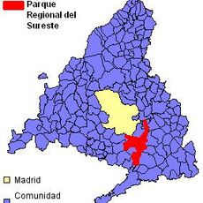
Arganda del Rey is a municipality in southeastern Madrid region, located approximately 27 kilometers from the capital city. The town spreads across protected natural areas within the Southeast Regional Park and sits at an elevation of 618 meters.

The municipality served as the capital of Sexmo de Tajuña until 1214, when it lost this status to other territories. King Philip II granted it the title of Villa in 1581, raising its administrative rank.

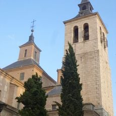
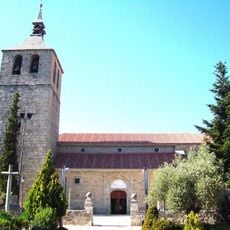
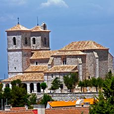
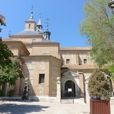
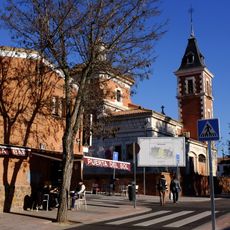
The Church of San Juan Bautista houses a tombstone marking where Miguel de Cervantes' maternal ancestors were buried. This connection links the town to one of Spain's most celebrated writers.

The town connects to Madrid through regular transportation services, making it easy to visit from the capital. The surrounding natural areas require comfortable footwear and some stamina for exploration.

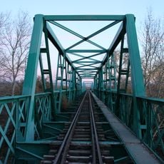
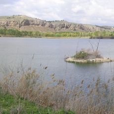
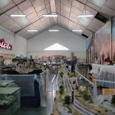
A restored Henschel steam locomotive from 1925 runs weekend services between La Poveda station and Laguna del Campillo during spring and autumn. This vintage rail experience offers travelers a journey through early industrial transport history.

The community of curious travelers

AroundUs brings together thousands of curated places, local tips, and hidden gems, enriched daily by 60,000 contributors worldwide.

Start exploring
Elevation above the sea
618 m
Part of
Mancomunidade do Leste
Shares border with
Rivas-Vaciamadrid, Velilla de San Antonio, Loeches, Campo Real, Perales de Tajuña, Morata de Tajuña, San Martín de la Vega
GPS coordinates
40.29944,-3.44083
Latest update
December 14, 2025 19:44
« Arganda del Rey - Municipality in southeastern Community of Madrid, Spain » is provided by Around Us (aroundus.com). Images and texts are derived from Wikimedia project under a Creative Commons license. You are allowed to copy, distribute, and modify copies of this page, under the conditions set by the license, as long as this note is clearly visible.

Discover hidden gems everywhere you go!

From secret cafés to breathtaking viewpoints, skip the crowded tourist spots and find places that match your style. Our app makes it easy with voice search, smart filtering, route optimization, and insider tips from travelers worldwide. Download now for the complete mobile experience.

Around Us App Screenshot

A unique approach to discovering new places

Le Figaro

All the places worth exploring

France Info

A tailor-made excursion in just a few clicks

20 Minutes

Around Us
Travel Guide & Maps
Download

Send to your phone

QR Code
1

Open the camera app on your mobile.

2

Point at the QR code with your camera. A notification will appear.

3

Tap the notification to open the link.