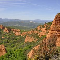
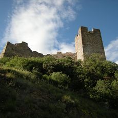
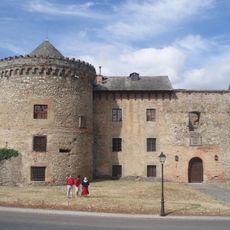
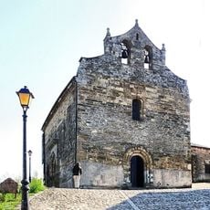
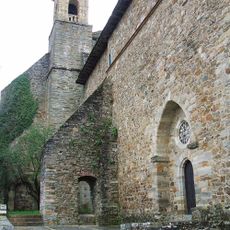
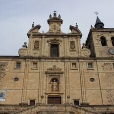
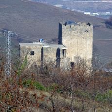
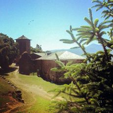
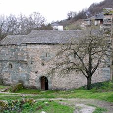
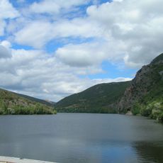
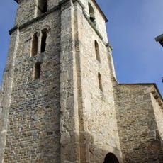
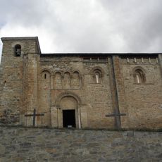
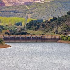
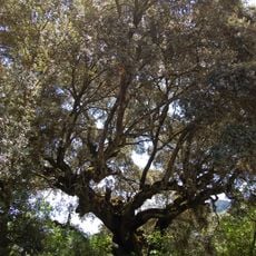
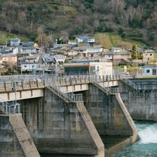
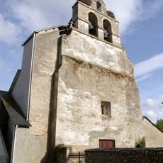
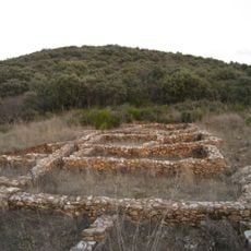
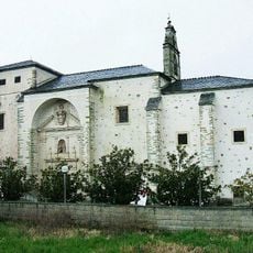
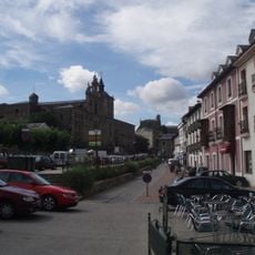
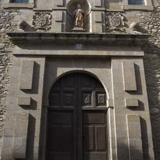
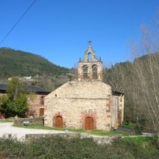
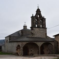
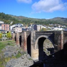
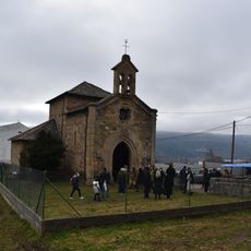
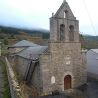
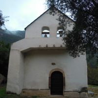
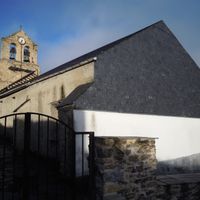
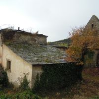
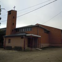
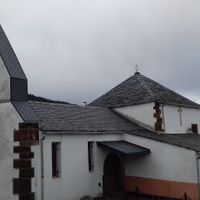
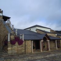
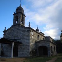
Rubiá, municipality of Spain
Location: Ourense
Capital city: Rubiá
Elevation above the sea: 549 m
Shares border with: Carucedo, Puente de Domingo Flórez, Carballeda de Valdeorras, O Barco de Valdeorras, Oencia, Sobrado
Website: https://rubia.es
GPS coordinates: 42.44972,-6.94889
Latest update: March 6, 2025 10:12
Las Médulas
15.6 km
Cornatel Castle
21.4 km
Castle of Villafranca del Bierzo
20.6 km
Iglesia de Santiago Apóstol
20.7 km
Convento de San Francisco
20.8 km
Iglesia de San Nicolás (Villafranca del Bierzo)
21 km
Corullón Castle
17.8 km
Castro Peña del Hombre
20 km
Convento Cabeza de Alba
16.9 km
Iglesia de San Juan
20 km
Peñarrubia Reservoir
11.4 km
Church of San Esteban
17.8 km
Church of San Miguel
18.5 km
Campañana Reservoir
16.4 km
Aciñeira
9.9 km
Embalse de Santiago
11.8 km
Church of San Pedro Apóstol, Dehesas
22.2 km
Delimitación de entorno de Las Médulas
14.9 km
Monastery of the Anunciada, Villafranca del Bierzo
20.7 km
Conjunto histórico de la zona antigua de Villafranca del Bierzo
21 km
Convento de San José
20.9 km
Casas del Parque de Las Médulas
15.1 km
Monastery of San Miguel de Xagoaza
4.8 km
Church of Santa María de Vilanova de Valdeorras
2.9 km
Bridge of Sobradelo
5 km
Chapel of San Francisco Blanco de Outarelo
3.4 km
Palacio de Torquemada
20.9 km
Palacio de los Marqueses de Villafranca
20.8 kmReviews
Visited this place? Tap the stars to rate it and share your experience / photos with the community! Try now! You can cancel it anytime.
Discover hidden gems everywhere you go!
From secret cafés to breathtaking viewpoints, skip the crowded tourist spots and find places that match your style. Our app makes it easy with voice search, smart filtering, route optimization, and insider tips from travelers worldwide. Download now for the complete mobile experience.
A unique approach to discovering new places❞
— Le Figaro
All the places worth exploring❞
— France Info
A tailor-made excursion in just a few clicks❞
— 20 Minutes