
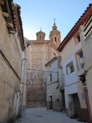
Blesa, municipality of Spain
Location: Teruel Province
Capital city: Blesa
Elevation above the sea: 711 m
Shares border with: Moneva, Muniesa, Plou, Aragon, Huesa del Común, Monforte de Moyuela, Plenas, Moyuela
Website: https://blesa.info
GPS coordinates: 41.05114,-0.88617
Latest update: March 26, 2025 17:20
Sima de San Pedro
21.1 km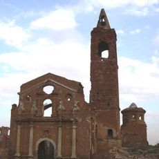
Church of San Martín de Tours, Belchite
30.1 km
Pared de los Moros
6.5 km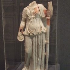
La Malena
23.1 km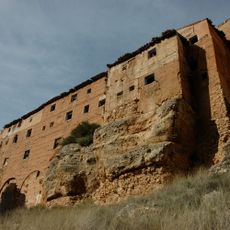
Santuario de la Virgen de Arcos
26.5 km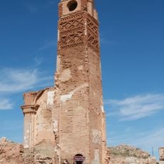
Clock Tower (Belchite Old Town)
30.1 km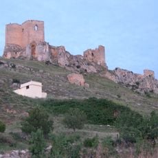
Castillo de Peñaflor
5.5 km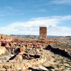
El Palomar
18.8 km
Iglesia de Nuestra Señora de la Piedad, Azuara
22.8 km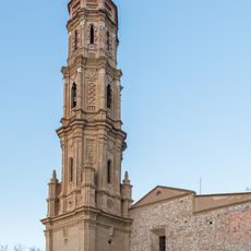
Church of St. Mary Magdalene, Lécera
22.6 km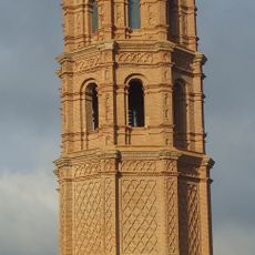
Torre mudéjar de Olalla
25 km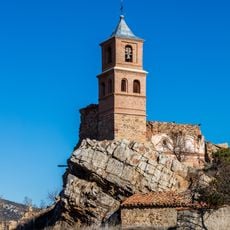
Church of Our Lady of La Junquera
25.4 km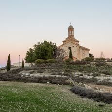
Hermitage of St Domingo, Lécera
23.4 km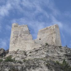
Castle of Alcaine
18.6 km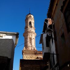
Church of El Salvador, Ariño
24.8 km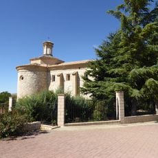
Ermita de la Virgen de los Dolores, Letux
23.3 km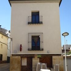
Museo de la carpintería y fragua
88 m
Cañada de Marco
21.8 km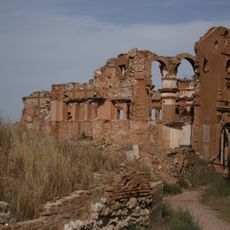
Convento de San Rafael
30.1 km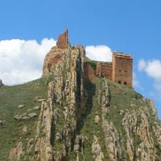
Castillo de Segura de los Baños
13.6 km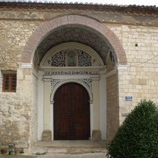
Church of the Assumption
21.2 km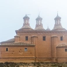
Santuario de la Virgen del Pueyo
30.2 km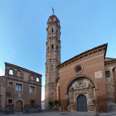
Iglesia de Nuestra Señora de la Asunción, Muniesa
6.5 km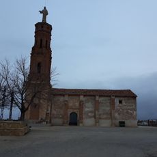
Ermita de Santa Bárbara, Muniesa
6.9 km
Town hall of Blesa
104 m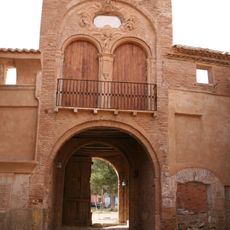
Arco de la Villa
30.2 km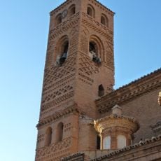
Torre de la iglesia de Nuestra Señora de la Piedad, Moyuela
9.1 km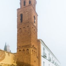
Torre del santuario de la Virgen del Pueyo
30.2 kmReviews
Visited this place? Tap the stars to rate it and share your experience / photos with the community! Try now! You can cancel it anytime.
Discover hidden gems everywhere you go!
From secret cafés to breathtaking viewpoints, skip the crowded tourist spots and find places that match your style. Our app makes it easy with voice search, smart filtering, route optimization, and insider tips from travelers worldwide. Download now for the complete mobile experience.

A unique approach to discovering new places❞
— Le Figaro
All the places worth exploring❞
— France Info
A tailor-made excursion in just a few clicks❞
— 20 Minutes