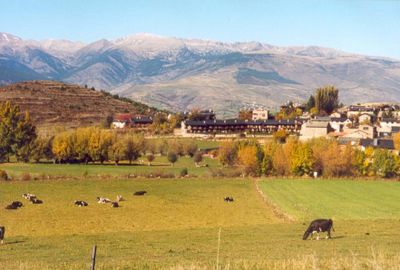
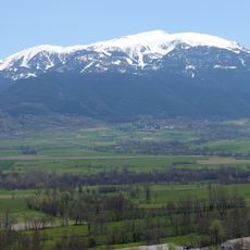
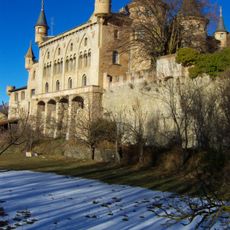
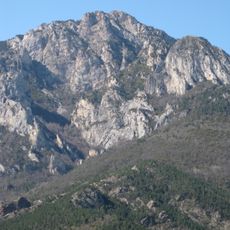
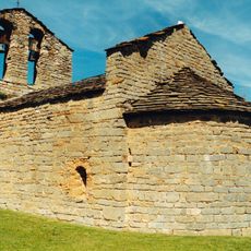
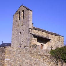
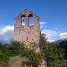
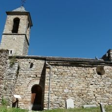
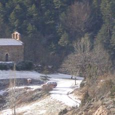
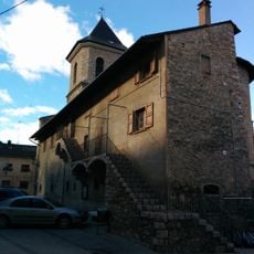
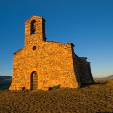
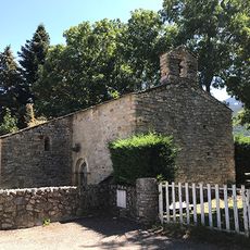
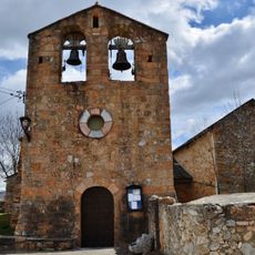
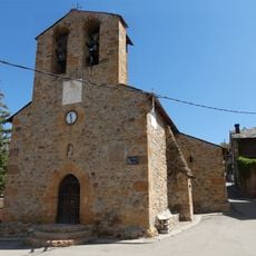
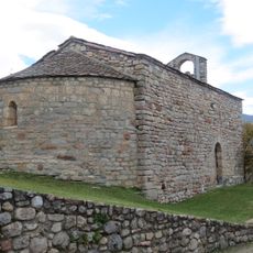
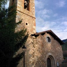
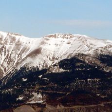
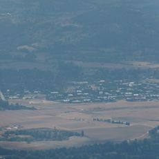
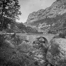
Urús, village in the province of Girona and autonomous community of Catalonia, Spain
Location: Cerdanya
Location: Province of Girona
Elevation above the sea: 1,263 m
Part of: Mancomunitat Intermunicipal de la Cerdanya, Mancomunitat Intermunicipal per a fins d'instrucció i cultura d'Alp, Das, Fontanals de Cerdanya i Urús
Shares border with: Bagà, Guardiola de Berguedà, Riu de Cerdanya, Prats i Sansor, Das, Catalonia
Website: http://urus.cat
GPS coordinates: 42.35250,1.85333
Latest update: March 9, 2025 17:38
Cadí Tunnel
4.3 km
La Tossa d'Alp
4.8 km
Torre del Riu
4.3 km
Penyes Altes de Moixeró
5.2 km
Santa Maria de Mosoll
3 km
Sant Iscle i Santa Victòria de Sanavastre
3.7 km
Sant Julià de Pedra
3.6 km
Sant Andreu de Baltarga
3.8 km
Sant Andreu de Gréixer
7.6 km
Sant Pere d'Alp
3.4 km
Sant Salvador de Predanies
2.1 km
Casa del Comú de Das
1.9 km
Sant Julià de Tartera
681 m
Sant Llorenç de Das
1.7 km
Torre de Das
1.4 km
Sant Grau del Puig d'Urús
1.5 km
Torre de Cadell
4.4 km
Sant Marcel de Bor
4.3 km
Sant Serni de Prats
1.9 km
Sant Joan de Riu
2.4 km
Font de Sant Isidre, Alp
3.5 km
Santa Cecília de Beders
4 km
Sant Climent d'Urús
298 m
Santa Bàrbara de Das
1.4 km
Cap del Serrat Gran
6.6 km
Rocs de Canells
7.5 km
Coma de Sant Vicenç
2.9 km
Pont de Cal Tinet
8.2 kmReviews
Visited this place? Tap the stars to rate it and share your experience / photos with the community! Try now! You can cancel it anytime.
Discover hidden gems everywhere you go!
From secret cafés to breathtaking viewpoints, skip the crowded tourist spots and find places that match your style. Our app makes it easy with voice search, smart filtering, route optimization, and insider tips from travelers worldwide. Download now for the complete mobile experience.
A unique approach to discovering new places❞
— Le Figaro
All the places worth exploring❞
— France Info
A tailor-made excursion in just a few clicks❞
— 20 Minutes