Enable Location

We need your location to show you interesting places around you

Discover nearby places

Find interesting locations and hidden gems around you

Precise directions

Get accurate directions and distances to places

Your location is never shared with other users. It's only used when you tap the location button.

Penyes Altes de Moixeró

Log in to your account

Start exploring — it's free

Trusted by 62,387 travelers worldwide

Continue with Google
Continue with Apple
or

We will send you a code to connect

By continuing, you accept our Terms and Conditions and our Privacy Policy

Check your inbox

We've sent a pincode in your inbox. Please enter the code below.

Penyes Altes de Moixeró

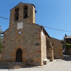
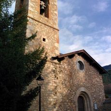
Penyes Altes de Moixeró, Mountain summit in Guardiola de Berguedà, Spain

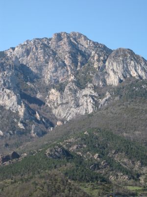
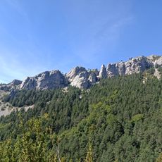
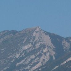
Penyes Altes de Moixeró is a limestone peak rising to 2276 meters within the Cadí-Moixeró Natural Park, providing expansive views over the Cerdanya and Berguedà regions. The summit sits at the convergence of two major river watersheds that have shaped the surrounding landscape.

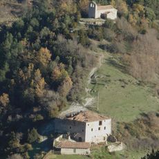
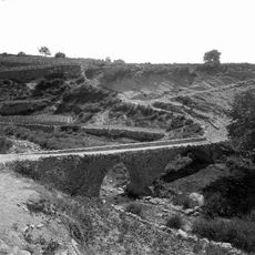
The ridge has served as a natural watershed boundary between two major river systems for centuries. This geographic position shaped how settlements developed on either side of the mountain range.

The peak holds significance for Catalan mountain climbers as a registered summit on a prestigious list maintained by the regional climbing federation. Reaching it represents an important goal for those who document their climbing achievements.

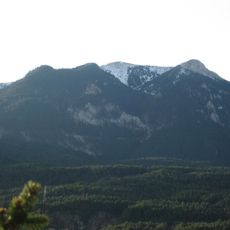
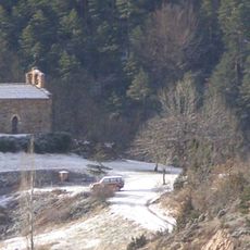
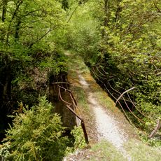
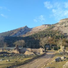
The main route begins at Gréixer and follows a marked trail covering about 14 kilometers with an elevation gain of approximately 1377 meters. The path passes through pine and oak woodlands and suits hikers with moderate experience and reasonable fitness levels.

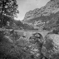
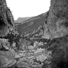
The mountain combines limestone and lutite rock formations that create an underground network of karst aquifers, caves, and chasms. This geological blend makes the area notable for speleology and karst studies among specialists.

The community of curious travelers

AroundUs brings together thousands of curated places, local tips, and hidden gems, enriched daily by 60,000 contributors worldwide.

Start exploring
Location
Location
Elevation above the sea
2,276 m
Made from material
limestone, lutite
Part of
Liste des 100 sommets de la FEEC
GPS coordinates
42.30631,1.84248
Latest update
December 14, 2025 20:01
« Penyes Altes de Moixeró - Mountain summit in Guardiola de Berguedà, Spain » is provided by Around Us (aroundus.com). Images and texts are derived from Wikimedia project under a Creative Commons license. You are allowed to copy, distribute, and modify copies of this page, under the conditions set by the license, as long as this note is clearly visible.

Discover hidden gems everywhere you go!

From secret cafés to breathtaking viewpoints, skip the crowded tourist spots and find places that match your style. Our app makes it easy with voice search, smart filtering, route optimization, and insider tips from travelers worldwide. Download now for the complete mobile experience.

Around Us App Screenshot

A unique approach to discovering new places

Le Figaro

All the places worth exploring

France Info

A tailor-made excursion in just a few clicks

20 Minutes

Around Us
Travel Guide & Maps
Download

Send to your phone

QR Code
1

Open the camera app on your mobile.

2

Point at the QR code with your camera. A notification will appear.

3

Tap the notification to open the link.