Alt Berguedà, Mountain subregion in northern Berguedà, Catalonia, Spain
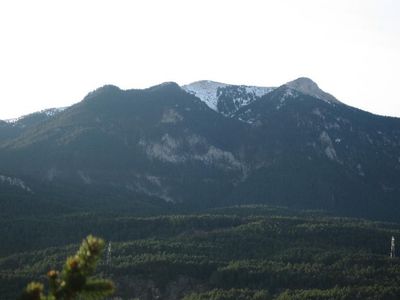
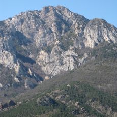
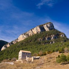
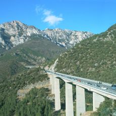
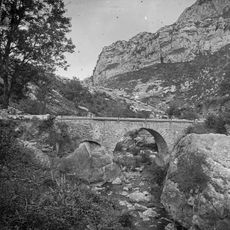
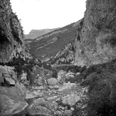
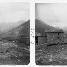
Alt Berguedà is the northern portion of Berguedà comarca in Catalonia, featuring the upper Llobregat Valley with peaks reaching 2000 meters along the Cerdanya border. The area spans from lower valley settlements to high mountain zones and includes multiple municipalities across varied elevations.
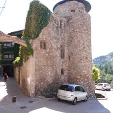
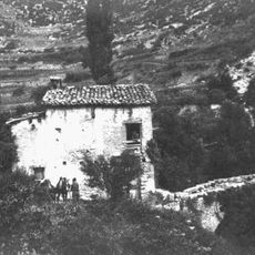
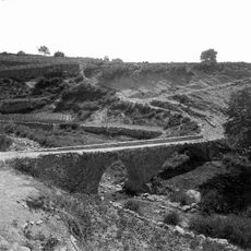
Settlement in valleys and mountains defined the area from medieval times onward, with coal mining eventually becoming the dominant economic force. This reliance on mining shaped the economic and social structure of the communities until the late 20th century.
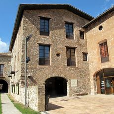
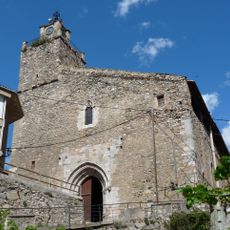
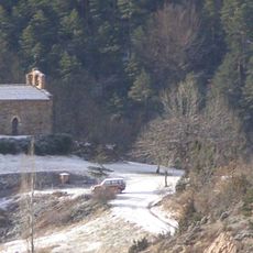
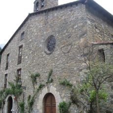
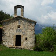
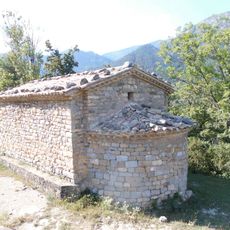
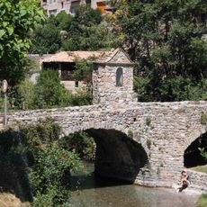
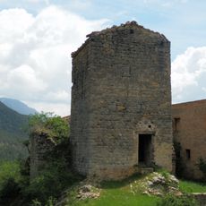
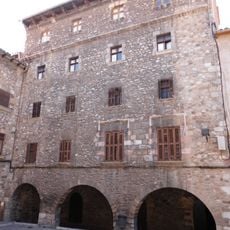
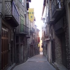
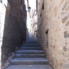
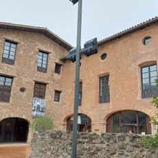
The towns here feature Romanesque churches that reflect medieval Catalan heritage and remain active gathering places for communities today. These structures shape the character of settlements and show how religious traditions have remained central to local life.
Higher elevations receive substantial snowfall in winter, with most precipitation concentrated during warmer months. Visitors should prepare for varying weather conditions, especially when traveling through the mountain zones.
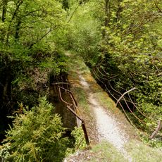
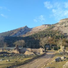
Vegetation shifts from Scots pine and oak at lower elevations to Mountain Pine above 1700 meters and reaches alpine meadows at the highest points. This natural transition shows how ecosystems change dramatically with altitude.
The community of curious travelers
AroundUs brings together thousands of curated places, local tips, and hidden gems, enriched daily by 60,000 contributors worldwide.