Berguedà, Administrative division in central Catalonia, Spain.
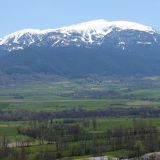
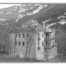
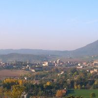
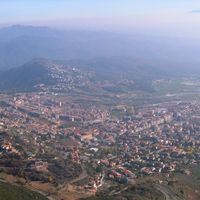
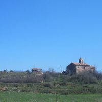
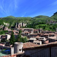
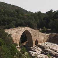
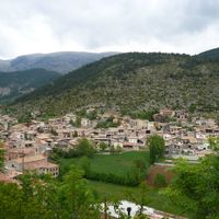
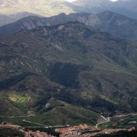
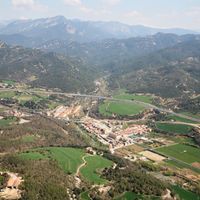
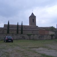
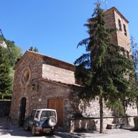
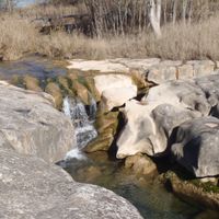
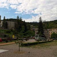
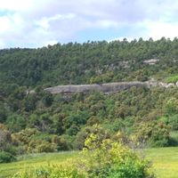
Berguedà is an administrative region in central Catalonia comprising multiple municipalities spread across varied terrain. The area transitions from mountainous terrain in the north to gentler valleys and agricultural land toward the south, with several rivers flowing through the landscape.
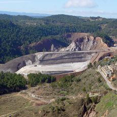
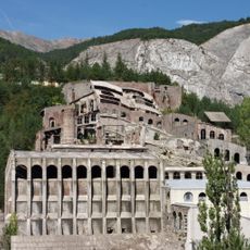
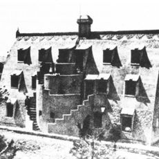
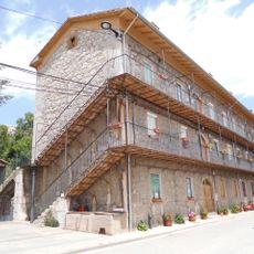
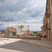
The region underwent significant population shifts during the 20th century as traditional industries declined and people moved toward larger urban centers. This transformation reshaped the local economy and settlement patterns across the territory.
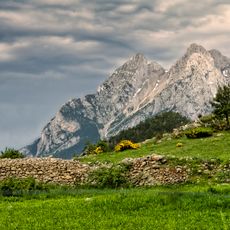
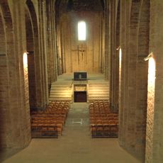
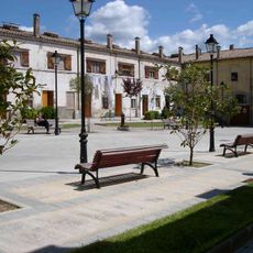
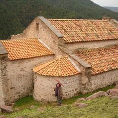
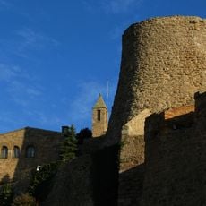
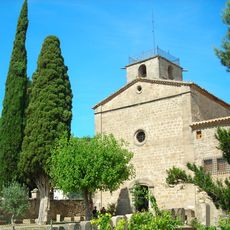
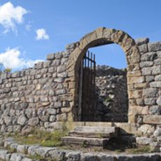
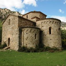
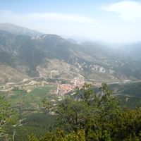
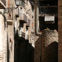
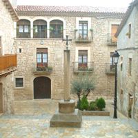
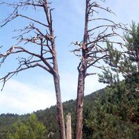
The northern section retains a strong sense of traditional rural life, where farming and forestry shape how communities live and work. You can see this heritage reflected in local customs, small settlements, and the way people still value land and natural resources.
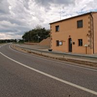
The region is best explored by car, as roads connect towns and valleys throughout the territory. Good walking trails wind through forests and hill country, allowing visitors to experience the landscape more intimately.
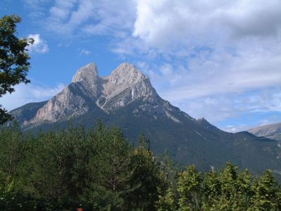
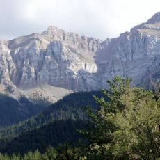
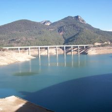
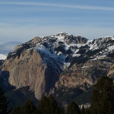
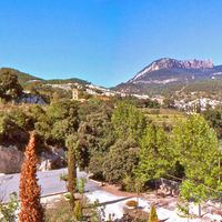
A distinctive mountain with twin peaks dominates the northern landscape and draws hikers from across the region. This landmark's striking profile makes it easy to spot from many directions and serves as a natural compass point.
Location: Catalunya Central
Capital city: Berga
Shares border with: Cerdanya, Ripollès, Osona, Bages, Solsonès, Alt Urgell, Lluçanès
Website: http://elbergueda.cat
GPS coordinates: 42.10690,1.83833
Latest update: December 7, 2025 19:28
Pedraforca
18.6 km
Castle of Cardona
24.9 km
Cadí Tunnel
23.1 km
Colònia Vidal
18.5 km
Cardona salt mountain
26 km
Church of Sant Vicenç de Cardona
24.8 km
Cadí-Moixeró Natural Park
24.7 km
Pi de les Tres Branques
4.7 km
Pantà de la Baells
3.7 km
L'Ametlla de Merola
22.3 km
Artigas Gardens
19.8 km
Santuari de la Mare de Déu de Queralt
884 m
Parador de Cardona
24.9 km
Antigua fábrica de Cemento Asland
20.6 km
Cal Rosal
4.9 km
Pont de Pedret
3.5 km
Sant Quirze de Pedret (Church)
3.7 km
Xalet del Catllaràs
17 km
Cap de la Gallina Pelada
12.4 km
Torre de la Minyona
24.9 km
Cercs Mine Museum
8.6 km
Monestir de Santa Maria de Lluçà
17.4 km
La Tossa d'Alp
24.2 km
Castell de Mataplana
25.2 km
Torre del Comte de Fígols
8.4 km
Colònia de Sant Corneli
8.6 km
Sant Pere de Graudescales
12.3 km
Castell de Sant Ferran
661 mVisited this place? Tap the stars to rate it and share your experience / photos with the community! Try now! You can cancel it anytime.
Avià
Bagà
Berga
Borredà
Capolat
Casserres
Castell de l'Areny
Castellar de n'Hug
Castellar del Riu
Cercs
Fígols
Gironella
Gisclareny
Gósol
Guardiola de Berguedà
La Nou de Berguedà
La Pobla de Lillet
La Quar
L'Espunyola
Montclar
Montmajor
Olvan
Puig-reig
Sagàs
Saldes
Sant Jaume de Frontanyà
Sant Julià de Cerdanyola
Santa Maria de Merlès
Vallcebre
Vilada
Viver i Serrateix
Discover hidden gems everywhere you go!
From secret cafés to breathtaking viewpoints, skip the crowded tourist spots and find places that match your style. Our app makes it easy with voice search, smart filtering, route optimization, and insider tips from travelers worldwide. Download now for the complete mobile experience.
A unique approach to discovering new places❞
— Le Figaro
All the places worth exploring❞
— France Info
A tailor-made excursion in just a few clicks❞
— 20 Minutes