Enable Location

We need your location to show you interesting places around you

Discover nearby places

Find interesting locations and hidden gems around you

Precise directions

Get accurate directions and distances to places

Your location is never shared with other users. It's only used when you tap the location button.

Tavertet

Log in to your account

Start exploring — it's free

Trusted by 62,314 travelers worldwide

Continue with Google
Continue with Apple
or

We will send you a code to connect

By continuing, you accept our Terms and Conditions and our Privacy Policy

Check your inbox

We've sent a pincode in your inbox. Please enter the code below.

Tavertet, Mountain municipality in Osona region, Spain.

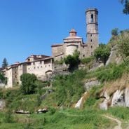
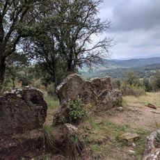
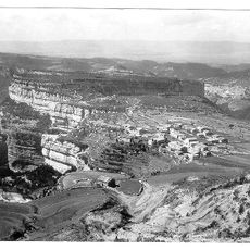
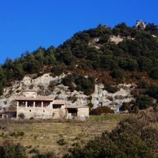
Tavertet is a mountain municipality in the Osona region positioned on limestone cliffs around 869 meters high, overlooking the Sau Reservoir and Ter River valley. The settlement sits at an elevated vantage point with views across the surrounding countryside.

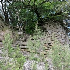
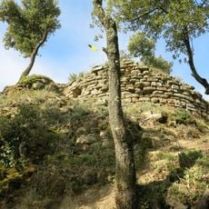
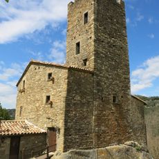
The village originated during medieval times as a fortified outpost positioned high on the cliffs to monitor passages and control routes between the lowland plains and mountain regions. Its elevated location provided defense and strategic oversight of the valley below.

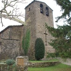
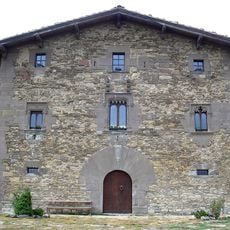
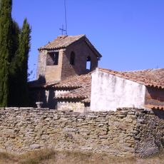
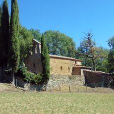
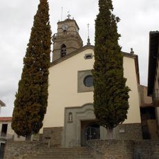
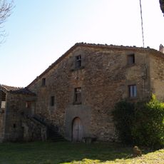
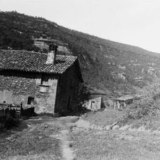
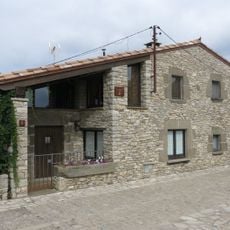
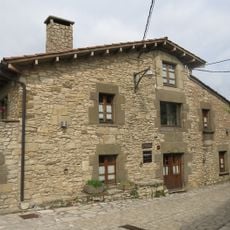
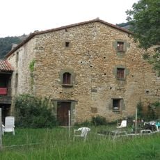
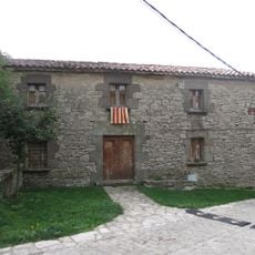
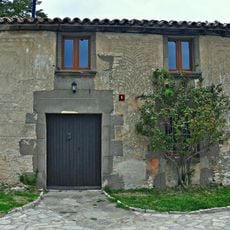
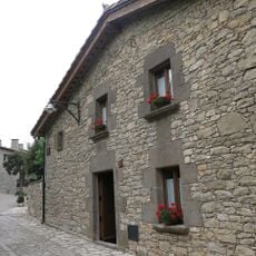
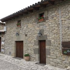
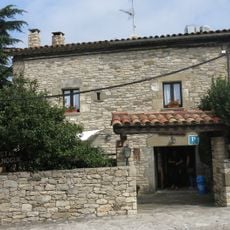
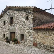
The village features typical Catalan stone construction with terracotta roofing and narrow lanes, reflecting how residents have organized their daily lives within this clifftop setting.

The municipality connects to the neighboring village of L'Esquirol via road BV5207, while a secondary route through beech forests leads toward Rupit. Access involves mountain roads, so plan extra time and watch for weather conditions that may affect driving.

The village perches directly above vertical limestone cliffs that drop straight down about 100 meters to the Sau Reservoir waters. This precarious positioning makes it an unusual settlement clinging boldly to the cliff face.

The community of curious travelers

AroundUs brings together thousands of curated places, local tips, and hidden gems, enriched daily by 60,000 contributors worldwide.

Start exploring
Location
Capital city
Tavertet
Elevation above the sea
869 m
Shares border with
L'Esquirol, Rupit i Pruit, Vilanova de Sau, Les Masies de Roda
GPS coordinates
41.99527,2.41778
Latest update
December 6, 2025 16:03
Hidden places in Catalonia

In rural Catalonia, medieval villages, monasteries and natural areas survive from earlier centuries. The region contains Roman villas, Gothic churches, castle ruins and waterfalls. These locations span from mountains to Mediterranean shores. The collection shows different sides of this landscape....

« Tavertet - Mountain municipality in Osona region, Spain » is provided by Around Us (aroundus.com). Images and texts are derived from Wikimedia project under a Creative Commons license. You are allowed to copy, distribute, and modify copies of this page, under the conditions set by the license, as long as this note is clearly visible.

Discover hidden gems everywhere you go!

From secret cafés to breathtaking viewpoints, skip the crowded tourist spots and find places that match your style. Our app makes it easy with voice search, smart filtering, route optimization, and insider tips from travelers worldwide. Download now for the complete mobile experience.

Around Us App Screenshot

A unique approach to discovering new places

Le Figaro

All the places worth exploring

France Info

A tailor-made excursion in just a few clicks

20 Minutes

Around Us
Travel Guide & Maps
Download

Send to your phone

QR Code
1

Open the camera app on your mobile.

2

Point at the QR code with your camera. A notification will appear.

3

Tap the notification to open the link.