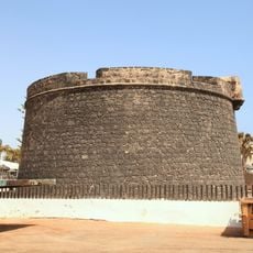
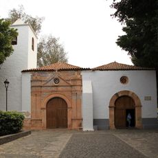
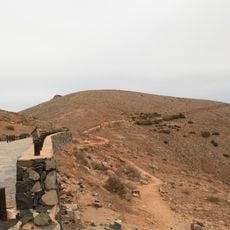
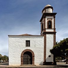
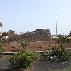
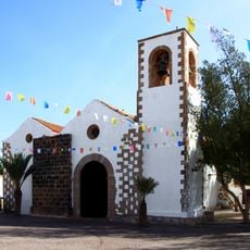
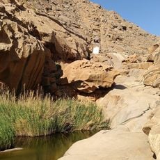
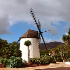
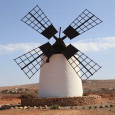
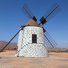
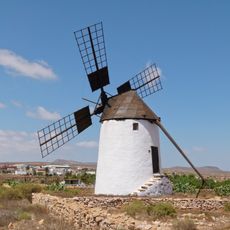
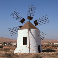
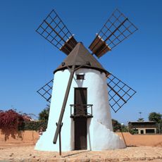
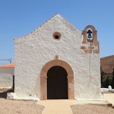
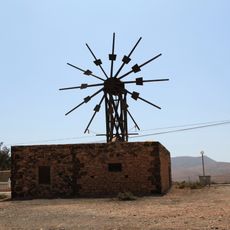
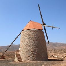
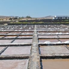
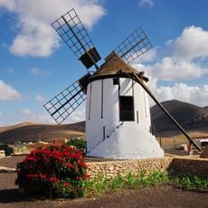
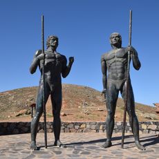
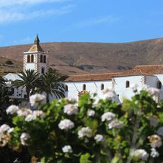
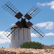
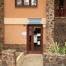
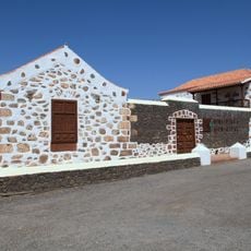
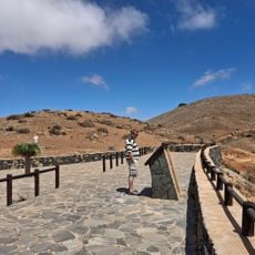
Antigua, municipality of Spain at Fuerteventura
Location: Las Palmas
Elevation above the sea: 254 m
Part of: Mancomunidad de Municipios del Centro-Sur de Fuerteventura
Shares border with: Puerto del Rosario, Betancuria, Tuineje
Website: http://ayto-antigua.es
GPS coordinates: 28.41602,-14.01185
Latest update: March 3, 2025 03:41
Museo de las Salinas del Carmen
14.9 km
Punta La Entallada Lighthouse
21.6 km
Parque Rural de Betancuria
6.3 km
Castillo de Fuste
15.5 km
Iglesia de Nuestra Señora de Regla
11.8 km
Morro Velosa
4.5 km
Iglesia de Nuestra Señora (Antigua (Fuerteventura))
855 m
Hornos de cal de la Guirra
14.9 km
Tuineje church
10.7 km
Barranco de las Peñitas
7.8 km
Molino de Antigua
1.6 km
Windmill in Llanos de la Concepción (Four-sail)
6.8 km
Windmill at Calle Isla De Montaña Clara
2.9 km
Windmill at La Corte
634 m
Windmill in Llanos de la Concepción (Six-sail)
6.3 km
Windmill of Durazno
1.1 km
Ermita de Nuestra Senora de Guadalupe
5.2 km
Windmill at Calle General Moscardol
3 km
Windmill at Lugar Teguitar
2.5 km
Salinas del Carmen
14.9 km
Windmill in Tiscamanita
7.4 km
Guise and Ayose
5.1 km
Conjunto Histórico Artístico la Villa
4.6 km
Molino de Tiscamanita
7.4 km
Biblioteca Pública Municipal de Pájara
11.6 km
Biblioteca Pública Municipal de Antigua
681 m
Mirador Velosa
4.9 km
Castillo Caleta de Fuste
14.7 kmReviews
Visited this place? Tap the stars to rate it and share your experience / photos with the community! Try now! You can cancel it anytime.
Discover hidden gems everywhere you go!
From secret cafés to breathtaking viewpoints, skip the crowded tourist spots and find places that match your style. Our app makes it easy with voice search, smart filtering, route optimization, and insider tips from travelers worldwide. Download now for the complete mobile experience.
A unique approach to discovering new places❞
— Le Figaro
All the places worth exploring❞
— France Info
A tailor-made excursion in just a few clicks❞
— 20 Minutes