Los Palacios y Villafranca, Municipality in Seville Province, Spain.
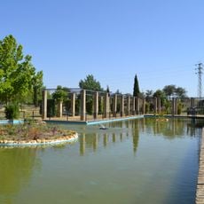
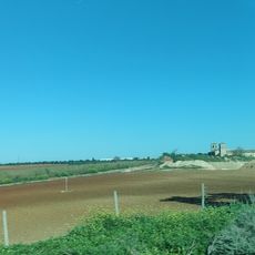
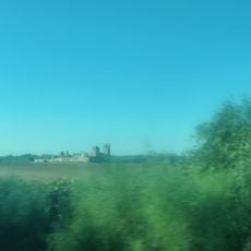
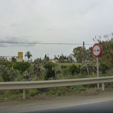
Los Palacios y Villafranca is a municipality in Seville Province situated between wetland areas and agricultural plains. The settlement spreads across flat terrain where water channels and farming fields dominate the surroundings, creating a landscape shaped by both nature and human cultivation.
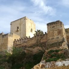
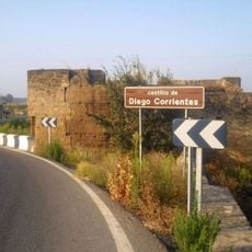
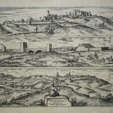
The place originated as a Roman settlement called Searotinus, which later became known as Serotín during the Muslim period. In the 14th century, King Pedro I built the Atalayuela palace there, an event that gave the location its name and regional prominence.
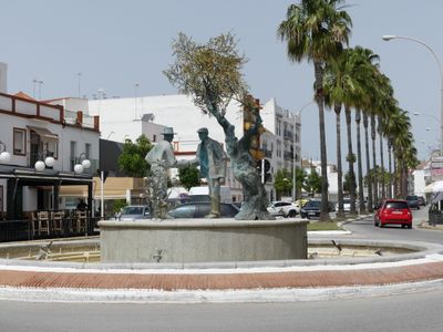
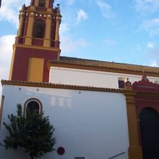
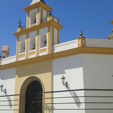
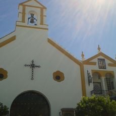
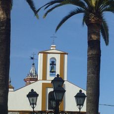
The Church of Santa María la Blanca stands as the focal point of local religious life, its interior displaying a remarkable altarpiece that reflects the craftsmanship brought to the region centuries ago. This sacred space continues to shape how residents gather and mark important moments throughout the year.
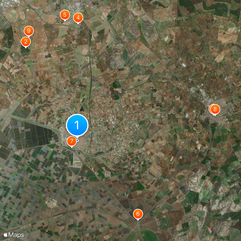
The municipality is easily accessible from Seville via major highways with regular bus connections available throughout the region. The flat terrain and straightforward road network make navigation simple whether you travel by car or public transport.
The region gained national recognition for tomato production with a protected brand name that signals quality produce. This distinction reflects generations of agricultural skill that continues to define the local economy and farming identity.
Location: Seville Province
Inception: 1836
Elevation above the sea: 8 m
Part of: list of municipalities in Seville, districte notarial d'Utrera, Bajo Guadalquivir
Shares border with: Utrera, Dos Hermanas, Alcalá de Guadaíra
Website: http://lospalacios.org
GPS coordinates: 37.16000,-5.92361
Latest update: December 17, 2025 07:45
La Corchuela
9.6 km
Castillo
12.6 km
Hacienda Ibarburu
10.6 kmTorre Mochiella de la Hacienda Maestre de Los Molinos
10.9 km
Castillo de La Alcantarilla
9 km
Parque de las Marismas
752 mIglesia del Convento de la Purísima Concepción
12.7 kmHacienda la Corchuela
10.3 kmTorre de la Hacienda Meñaca
8.9 km
Iglesia de Santa María la Blanca
460 mPuente de Alcantarilla
9 km
Hacienda los Molinos de Maestre
11 km
Sagrado Corazón de Jesús Church
114 m
Hacienda la Mejorada
3.4 kmCortijo Juan Gómez
6.6 kmMuralla urbana
12.8 km
San Sebastián Chapel
635 m
Silo of Utrera
12.2 km
Silo of Utrera II
12.2 km
Silo of Utrera III
12.2 km
La Capitana
3.9 km
Nuestra Señora de la Aurora Chapel
511 m
Puente romano de Las Alcantarillas
8.9 kmTeatro Municipal Pedro Pérez Fernández
309 mToro de Osborne
12 kmMemorial
12.7 kmMonumento de Don Clemente de la Cuadra
12.2 kmAntiguo Campo de Concentraciòn de La Corchuela
10 kmVisited this place? Tap the stars to rate it and share your experience / photos with the community! Try now! You can cancel it anytime.
Discover hidden gems everywhere you go!
From secret cafés to breathtaking viewpoints, skip the crowded tourist spots and find places that match your style. Our app makes it easy with voice search, smart filtering, route optimization, and insider tips from travelers worldwide. Download now for the complete mobile experience.
A unique approach to discovering new places❞
— Le Figaro
All the places worth exploring❞
— France Info
A tailor-made excursion in just a few clicks❞
— 20 Minutes