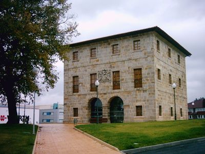
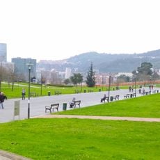
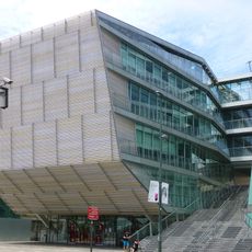
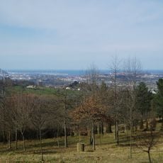
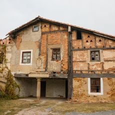
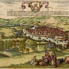
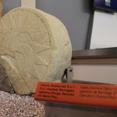
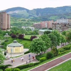
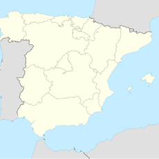
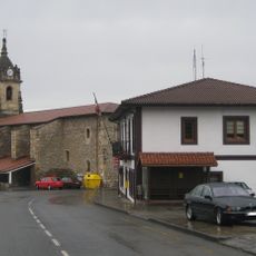
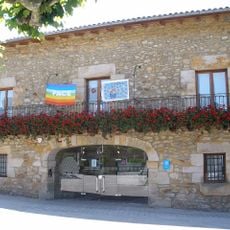
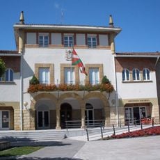
Zamudio, municipality of Spain
Location: Greater Bilbao
Elevation above the sea: 50 m
Part of: Intermunicipalité de services de Txorierri
Shares border with: Gamiz-Fika, Lezama, Galdakao, Etxebarri, Bilbao, Derio, Mungia, Sondika, Loiu
Website: http://zamudiokoudala.net/eu/html
GPS coordinates: 43.28276,-2.86236
Latest update: March 7, 2025 20:59
Basilica of Begoña
5 km
Bilbao's Iron Ring
4.9 km
Parque de Atracciones de Vizcaya
3.2 km
Artxanda Funicular
5.1 km
Parque Etxebarria
5.2 km
Bilbao British Cemetery
4.8 km
Ganguren
2.5 km
Lezamako dorretxea
1.9 km
Torre Zamudio
476 m
Edificio San Agustín, Bilbao
5.3 km
Monte Avril
2.9 km
Caserío Cadalso
992 m
Aterpe 1936
4.9 km
Abandoko elizatea
4.9 km
Kuskuburu
3.5 km
Berreagako herri gotortua eta nekropolia
3.8 km
Church of Santa María, Lezama
2.5 km
Parque Europa, Bilbao
4.6 km
Larragoiti jauregia
981 m
Santo Kristo baseliza, Lezama
1.6 km
Church of San Martín de Arteaga, Zamudio
417 m
Fingerprint Sculpture
4.9 km
Town hall of Gamiz-Fika
5.2 km
Town hall of Zamudio
315 m
Town hall of Lezama
2.6 km
Town hall of Derio
2.2 km
Calzada de los Zamudianos
2.7 km
Camino Monte Avril
3.1 kmVisited this place? Tap the stars to rate it and share your experience / photos with the community! Try now! You can cancel it anytime.
Discover hidden gems everywhere you go!
From secret cafés to breathtaking viewpoints, skip the crowded tourist spots and find places that match your style. Our app makes it easy with voice search, smart filtering, route optimization, and insider tips from travelers worldwide. Download now for the complete mobile experience.
A unique approach to discovering new places❞
— Le Figaro
All the places worth exploring❞
— France Info
A tailor-made excursion in just a few clicks❞
— 20 Minutes