Enable Location

We need your location to show you interesting places around you

Discover nearby places

Find interesting locations and hidden gems around you

Precise directions

Get accurate directions and distances to places

Your location is never shared with other users. It's only used when you tap the location button.

Sarria

Log in to your account

Start exploring — it's free

Trusted by 62,178 travelers worldwide

Continue with Google
Continue with Apple
or

We will send you a code to connect

By continuing, you accept our Terms and Conditions and our Privacy Policy

Check your inbox

We've sent a pincode in your inbox. Please enter the code below.

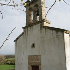
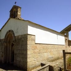
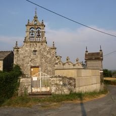
Sarria, Municipality in Galicia, Spain

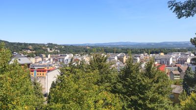
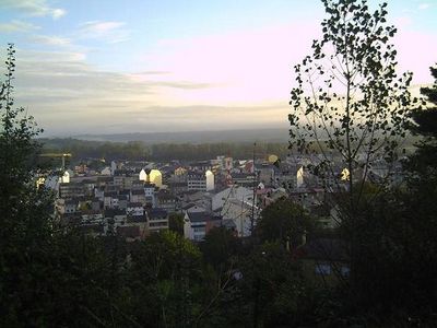
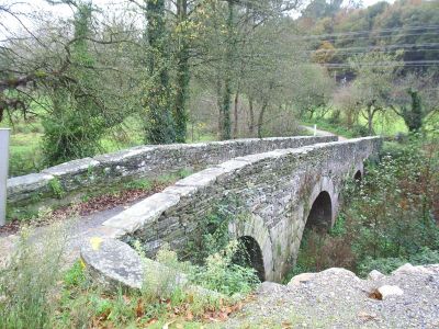
Sarria is a municipality in Lugo Province situated at approximately 700 meters elevation along the western bank of the Rio Sarria river. The town sits near the Cantabrian mountain range and forms a passage through valleys and forested slopes that characterize the surrounding landscape.

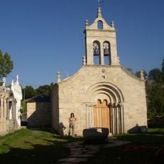
King Alfonso IX founded Vilanova de Sarria in the 13th century, and this same ruler died here in 1230 while traveling to Santiago de Compostela. The settlement that grew from this royal founding became a key waypoint along one of Christianity's oldest pilgrimage routes.

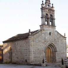
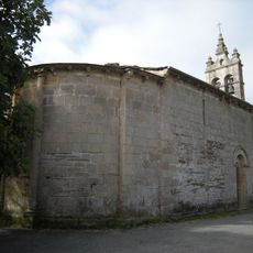
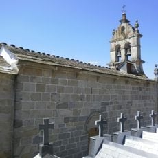
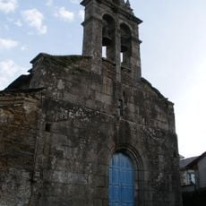
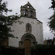
The Rua Maior district forms the heart of the town and brings together the 13th-century church O Salvador as a gathering point for daily life. Pilgrims and residents share this narrow street where traditional commerce and local habits create the living center of the municipality.

The municipality lies 114 kilometers from Santiago de Compostela and serves as the final starting point for many pilgrims completing their last leg of the journey. Visitors should prepare for hilly terrain and changeable mountain weather, making sturdy footwear and layered clothing practical choices.

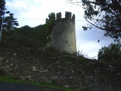
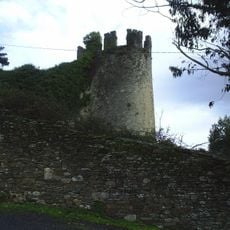
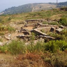
Three monthly markets display traditional regional products and draw visitors to the remains of the medieval tower in the town center. These gatherings keep local craftsmanship and farming practices alive as visitors discover goods and techniques passed down through generations.

The community of curious travelers

AroundUs brings together thousands of curated places, local tips, and hidden gems, enriched daily by 60,000 contributors worldwide.

Start exploring
Location
Capital city
Sarria
Elevation above the sea
700 m
Part of
Mancomunidade de Concellos Galegos do Camiño Francés
Shares border with
O Páramo, Láncara, Samos, O Incio, Paradela
GPS coordinates
42.77778,-7.41444
Latest update
December 17, 2025 09:09
« Sarria - Municipality in Galicia, Spain » is provided by Around Us (aroundus.com). Images and texts are derived from Wikimedia project under a Creative Commons license. You are allowed to copy, distribute, and modify copies of this page, under the conditions set by the license, as long as this note is clearly visible.

Discover hidden gems everywhere you go!

From secret cafés to breathtaking viewpoints, skip the crowded tourist spots and find places that match your style. Our app makes it easy with voice search, smart filtering, route optimization, and insider tips from travelers worldwide. Download now for the complete mobile experience.

Around Us App Screenshot

A unique approach to discovering new places

Le Figaro

All the places worth exploring

France Info

A tailor-made excursion in just a few clicks

20 Minutes

Around Us
Travel Guide & Maps
Download

Send to your phone

QR Code
1

Open the camera app on your mobile.

2

Point at the QR code with your camera. A notification will appear.

3

Tap the notification to open the link.