Enable Location

We need your location to show you interesting places around you

Discover nearby places

Find interesting locations and hidden gems around you

Precise directions

Get accurate directions and distances to places

Your location is never shared with other users. It's only used when you tap the location button.

Verín

Log in to your account

Start exploring — it's free

Trusted by 62,126 travelers worldwide

Continue with Google
Continue with Apple
or

We will send you a code to connect

By continuing, you accept our Terms and Conditions and our Privacy Policy

Check your inbox

We've sent a pincode in your inbox. Please enter the code below.

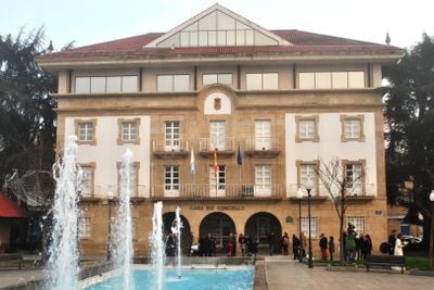
Verín, Administrative municipality in southeast Ourense, Spain

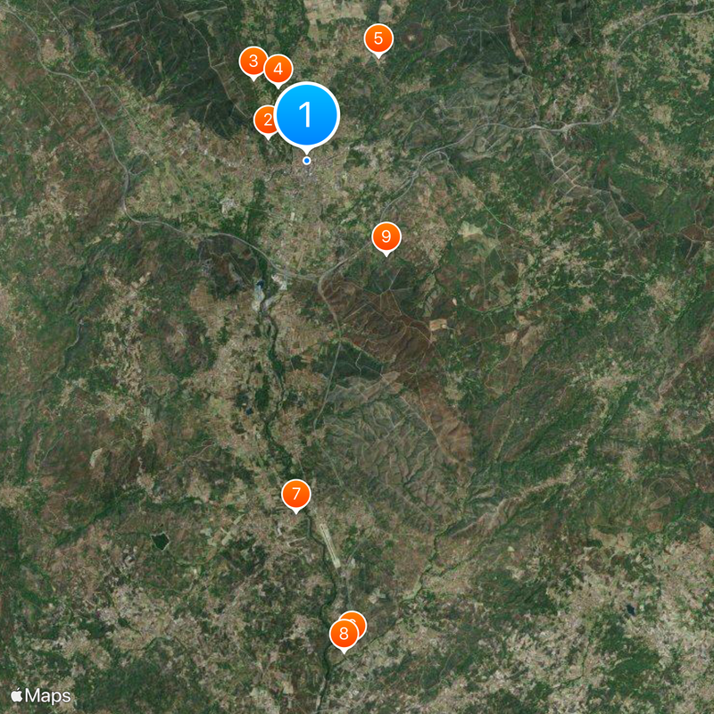
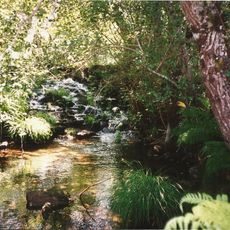
Verín is a municipality nestled in the Tâmega River valley at approximately 373 meters elevation, surrounded by mountains and positioned near the Portuguese border. The landscape features rolling hills, vineyards, and scattered settlements distributed across the terrain.

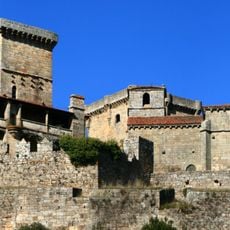
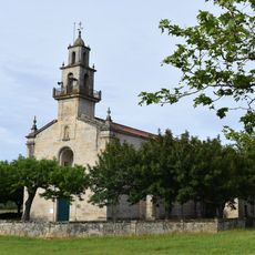
The settlement traces back to the medieval Santa María de Verín and later became a strategic point during conflicts between Portugal and Spain. The Castle of Monterrei stands as evidence of its borderland history.

The winter carnival features the Cigarrón tradition, where masked participants in leather suits decorated with bells run through the streets wielding whips. This custom reflects ancient practices that remain central to local celebrations today.

The A-52 motorway and N-525 road connect the municipality to Madrid and Ourense for easy access. Visitors can explore mineral water springs and vineyard areas by car or on foot through the surrounding countryside.

The municipality produces wines under the Monterrei designation, with vineyards scattered across the valley hillsides. Its proximity to the Portuguese border shapes not only its history but also the character of local wine production.

The community of curious travelers

AroundUs brings together thousands of curated places, local tips, and hidden gems, enriched daily by 60,000 contributors worldwide.

Start exploring
Location
Capital city
Verín
Elevation above the sea
373 m
Part of
Mancomunidade de concellos da comarca de Verín
Shares border with
Oímbra, Monterrei, Castrelo do Val, Vilardevós, Chaves
GPS coordinates
41.94083,-7.43583
Latest update
December 20, 2025 00:23
« Verín - Administrative municipality in southeast Ourense, Spain » is provided by Around Us (aroundus.com). Images and texts are derived from Wikimedia project under a Creative Commons license. You are allowed to copy, distribute, and modify copies of this page, under the conditions set by the license, as long as this note is clearly visible.

Discover hidden gems everywhere you go!

From secret cafés to breathtaking viewpoints, skip the crowded tourist spots and find places that match your style. Our app makes it easy with voice search, smart filtering, route optimization, and insider tips from travelers worldwide. Download now for the complete mobile experience.

Around Us App Screenshot

A unique approach to discovering new places

Le Figaro

All the places worth exploring

France Info

A tailor-made excursion in just a few clicks

20 Minutes

Around Us
Travel Guide & Maps
Download

Send to your phone

QR Code
1

Open the camera app on your mobile.

2

Point at the QR code with your camera. A notification will appear.

3

Tap the notification to open the link.