
Liétor, municipality of Spain
Location: Albacete Province
Capital city: Liétor (locality)
Elevation above the sea: 641 m
Part of: Mancomunidad de Municipios de la Sierra del Segura
Shares border with: Elche de la Sierra, Aýna, Alcadozo, Pozohondo, Hellín, Férez
Website: http://lietor.es
GPS coordinates: 38.54229,-1.95580
Latest update: March 5, 2025 08:33
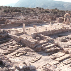
Tolmo de Minateda
31.2 km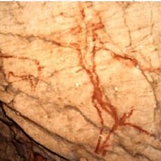
Cave of Niño
17.5 km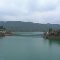
Talave Reservoir
7.9 km
Navita abajita
16 km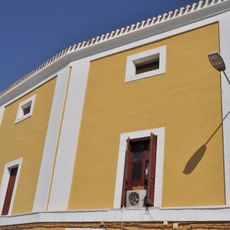
Bullring of Hellín
22.9 km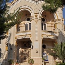
Santuario de Nuestra Señora del Rosario
22.2 km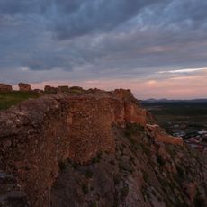
Castillo de Peñas de San Pedro
21.2 km
Nava de Arriba
15 km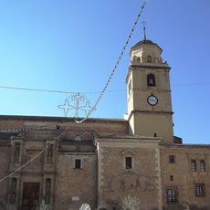
Church of la Asunción
22.3 km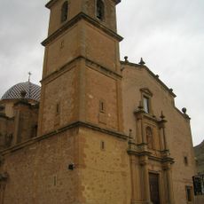
Church of Nuestra Señora de la Esperanza
21 km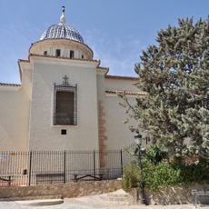
Sanctuary of Santísimo Cristo de la Antigua y Virgen de la Encarnación
23.2 km
Base Aérea de Cañadillas
28 km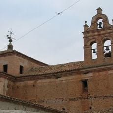
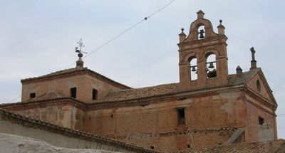
Convent and church of Carmelitas
335 m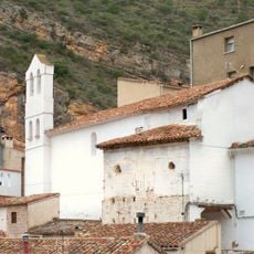
Church of San José, Molinicos
26.3 km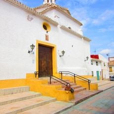
Ermita de San Rafael, Hellín
22.3 km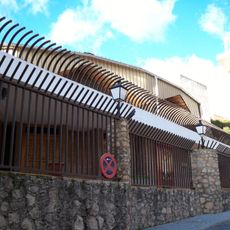
Iglesia de Nuestra Señora del Carmen (Molinicos)
26.2 km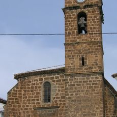
Church of la Asunción
23.3 km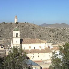
Church of Nuestra Señora de la Asunción
23.4 km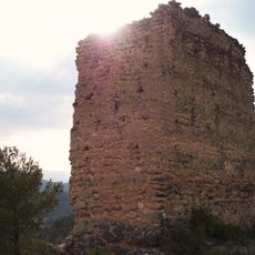
Watchtower of Segurilla
29.9 km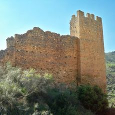
Castillo de Molinicos
27.1 km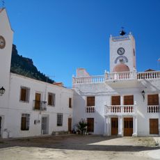
Museo Micológico de Molinicos
26.3 km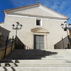
Santiago Apóstol, Liétor
192 m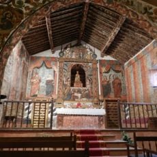
Hermitage of Our Lady of Belén
124 m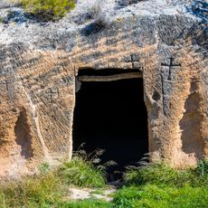
Eremitorio de Alborajico, Tobarra
28.8 km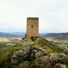
Torre de Castellar de Sierra
26.8 km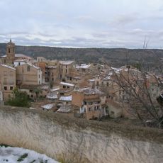
Villa de Letur
23.3 km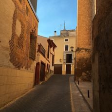
Ciudad de Hellín
22.4 km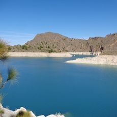
Cenajo Reservoir
19.8 kmReviews
Visited this place? Tap the stars to rate it and share your experience / photos with the community! Try now! You can cancel it anytime.
Discover hidden gems everywhere you go!
From secret cafés to breathtaking viewpoints, skip the crowded tourist spots and find places that match your style. Our app makes it easy with voice search, smart filtering, route optimization, and insider tips from travelers worldwide. Download now for the complete mobile experience.

A unique approach to discovering new places❞
— Le Figaro
All the places worth exploring❞
— France Info
A tailor-made excursion in just a few clicks❞
— 20 Minutes