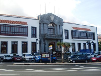
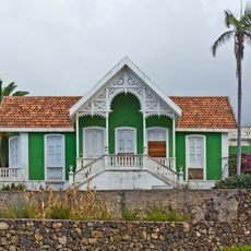
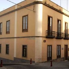
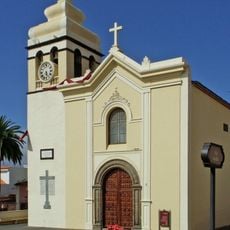
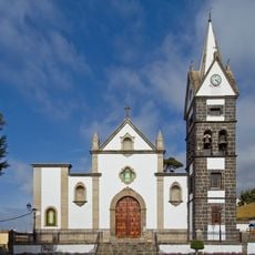
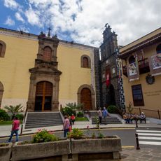
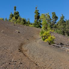
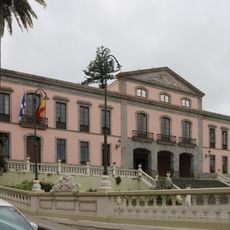
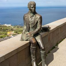
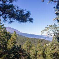
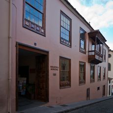
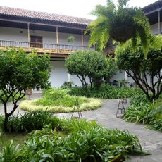
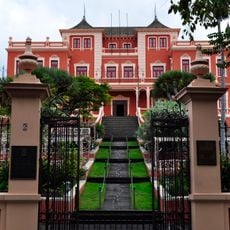
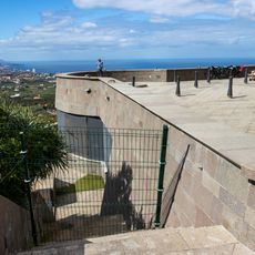
Santa Úrsula, municipality of Spain
Location: Tenerife
Capital city: Santa Úrsula
Elevation above the sea: 290 m
Part of: Mancomunitat del Nordeste de Tenerife
Shares border with: La Victoria de Acentejo, Candelaria, Arafo, La Orotava
Website: https://santaursula.es
GPS coordinates: 28.42529,-16.49170
Latest update: March 11, 2025 15:39
Cueva de Bencomo
2.5 km
Jardín Victoria
5 km
Church of Saint Ursula in Santa Úrsula
62 m
La Corujera
1.1 km
Hijuela del Botanico, La Orotava
5.2 km
Estadio municipal Los Cuartos
4.5 km
Reserva natural integral de Pinoleris
4.1 km
La Resbala
4.7 km
Casa de la Portuguesa
880 m
Fundación Canaria Orotava de Historia de la Ciencia
4.8 km
Church of San Juan Bautista, La Orotava
5.3 km
Feria Pinolere
5.3 km
Church of San Juan Bautista, La Orotava
5.3 km
Church of Nuestra Señora de La Encarnacion
2.3 km
San Agustín church
4.9 km
Casa del Capitán
839 m
Buildings in the street Calvario, 52 y 54
4.6 km
Camino de Candaleria de la Orotava
5.4 km
Conjunto Histórico Artístico la Villa de la Orotava
5.2 km
Statue of Alexander von Humboldt, La Orotava
2.5 km
Mirador de Ortuña
7 km
Mirador de Chimague
6.6 km
Biblioteca Pública Municipal de La Orotava
5.1 km
Museum of Iberoamerican Crafts
4.9 km
Fuente de Joco
6.9 km
Liceo de Taoro
4.9 km
Humboldt Viewpoint
2.5 km
Ícaro Salvado
4.1 kmReviews
Visited this place? Tap the stars to rate it and share your experience / photos with the community! Try now! You can cancel it anytime.
Discover hidden gems everywhere you go!
From secret cafés to breathtaking viewpoints, skip the crowded tourist spots and find places that match your style. Our app makes it easy with voice search, smart filtering, route optimization, and insider tips from travelers worldwide. Download now for the complete mobile experience.
A unique approach to discovering new places❞
— Le Figaro
All the places worth exploring❞
— France Info
A tailor-made excursion in just a few clicks❞
— 20 Minutes