Enable Location

We need your location to show you interesting places around you

Discover nearby places

Find interesting locations and hidden gems around you

Precise directions

Get accurate directions and distances to places

Your location is never shared with other users. It's only used when you tap the location button.

Olvera

Log in to your account

Start exploring — it's free

Trusted by 61,559 travelers worldwide

Continue with Google
Continue with Apple
or

We will send you a code to connect

By continuing, you accept our Terms and Conditions and our Privacy Policy

Check your inbox

We've sent a pincode in your inbox. Please enter the code below.

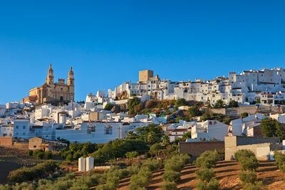
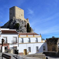
Olvera, White village in Sierra de Cádiz, Spain

Description

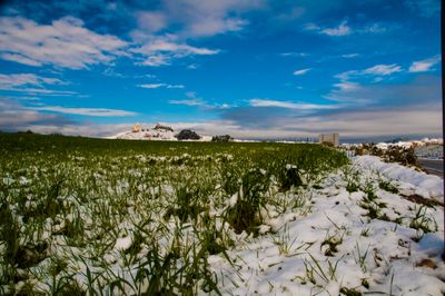
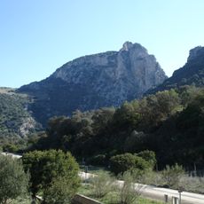
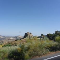
Olvera is a settlement in Cádiz Province located on a hillside at approximately 643 meters (2,110 feet) elevation. Olive groves and grain fields surround the town within the mountain ranges of the Sistema Betico.

History

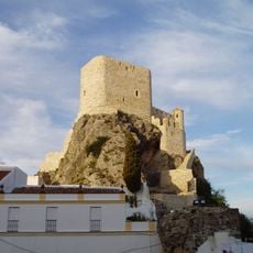
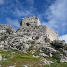
The site was known as Hippa in Roman times and later called Wubira during Moorish rule. Christian forces took control in 1327, marking a shift in the settlement's governance.

Culture

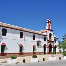
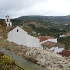
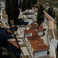
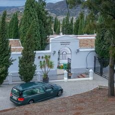
The settlement shows the appearance of a traditional white village, with houses climbing the slopes and creating narrow, winding streets. Daily life here centers on the surrounding agricultural landscape, where olive groves and grain fields shape the rhythm of life.

Practical

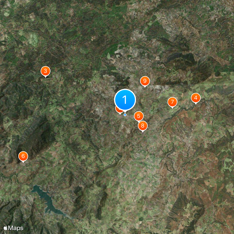
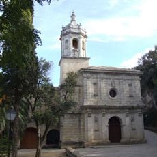
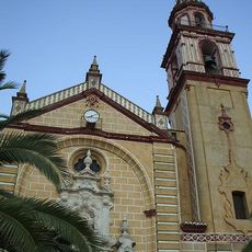
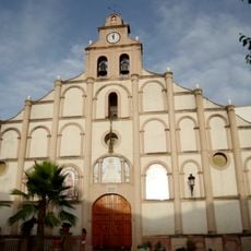
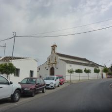
The town is easy to explore on foot, as most attractions lie close together along the hillside. The tourist information center near Encarnación church can guide visitors to accommodations and local sites.

Did you know?

The nearby Peñón de Zaframagón Nature Reserve holds the largest population of tawny vultures in Andalusia. A former railway line about 38 kilometers long now serves as a hiking trail connecting the town to Puerto Serrano through the countryside.

Location
Capital city
Olvera
Elevation above the sea
643 m
Part of
Arcos de la Frontera notary district, Mancomunidad de Municipios de la Sierra de Cádiz, Sierra de Cádiz
Shares border with
Algodonales, Alcalá del Valle, El Gastor, Coripe, Morón de la Frontera, Pruna, Algámitas, Cañete la Real, Setenil de las Bodegas, Torre Alháquime, Ronda, Montecorto
GPS coordinates
36.93465,-5.25991
Latest update
December 20, 2025 00:34

AroundUs brings together thousands of curated places, local tips, and hidden gems, enriched daily by 60,000 contributors worldwide. Discover all places nearby (Cádiz Province).

« Olvera - White village in Sierra de Cádiz, Spain » is provided by Around Us (aroundus.com). Images and texts are derived from Wikimedia project under a Creative Commons license. You are allowed to copy, distribute, and modify copies of this page, under the conditions set by the license, as long as this note is clearly visible.

Discover hidden gems everywhere you go!

From secret cafés to breathtaking viewpoints, skip the crowded tourist spots and find places that match your style. Our app makes it easy with voice search, smart filtering, route optimization, and insider tips from travelers worldwide. Download now for the complete mobile experience.

Around Us App Screenshot

A unique approach to discovering new places

Le Figaro

All the places worth exploring

France Info

A tailor-made excursion in just a few clicks

20 Minutes

Around Us
Travel Guide & Maps
Download

Send to your phone

QR Code
1

Open the camera app on your mobile.

2

Point at the QR code with your camera. A notification will appear.

3

Tap the notification to open the link.