Enable Location

We need your location to show you interesting places around you

Discover nearby places

Find interesting locations and hidden gems around you

Precise directions

Get accurate directions and distances to places

Your location is never shared with other users. It's only used when you tap the location button.

Pantà de Sant Antoni

Log in to your account

Start exploring — it's free

Trusted by 62,376 travelers worldwide

Continue with Google
Continue with Apple
or

We will send you a code to connect

By continuing, you accept our Terms and Conditions and our Privacy Policy

Check your inbox

We've sent a pincode in your inbox. Please enter the code below.

Pantà de Sant Antoni

Pantà de Sant Antoni, dam on the Noguera Pallaresa River, north of Tremp near Lleida in Catalonia, Spain

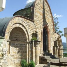
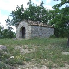
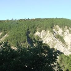
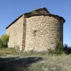
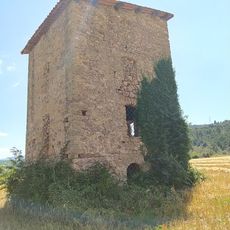
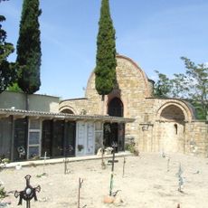
The Pantà de Sant Antoni is a large water reservoir in the Pallars Jussà region, surrounded by green hills and calm water stretching for many kilometers. The area features historical elements including ruins of the medieval castle Aramunt Vell, the small church Santa Maria, and several villages that sit along the shoreline.

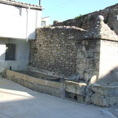
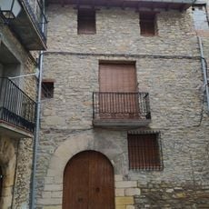
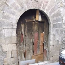
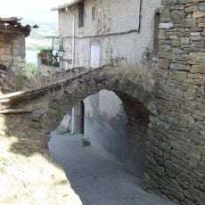
The reservoir was built in 1916 to store water for the region and control flooding. The area also contains old structures like the medieval castle Aramunt Vell and the long-standing church Santa Maria, which speak to a long history of agriculture and local settlement.

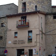
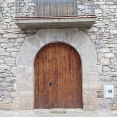
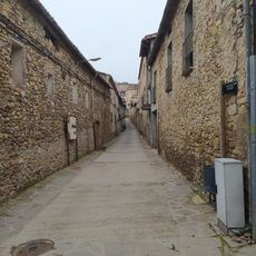
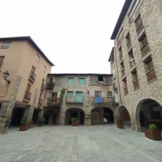
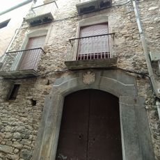
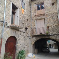
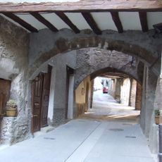
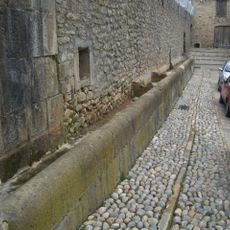
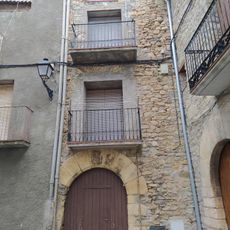
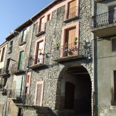
The area around the reservoir has deep ties to local community and tradition. Small villages like Aramunt and Sant Martí de Canals sit along the shore, where people gather for celebrations and maintain connections to their heritage through walks and visits to historic sites.

Start from the church square in Aramunt, where paths follow the hillsides and water's edge for exploration. The trails are mostly flat, running through fields and alongside the shore, so wear comfortable shoes and bring plenty of water for your visit.

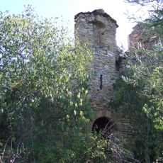
When water levels drop, the remains of a church bell tower sometimes appear above the surface, dating from before the dam was built. These submerged structures offer a reminder of how the landscape changed after the reservoir's construction.

The community of curious travelers

AroundUs brings together thousands of curated places, local tips, and hidden gems, enriched daily by 60,000 contributors worldwide.

Start exploring
Location
Inception
1913
Official opening
1916
GPS coordinates
42.20195,0.94997
Latest update
February 9, 2026 08:22
« Pantà de Sant Antoni - dam on the Noguera Pallaresa River, north of Tremp near Lleida in Catalonia, Spain » is provided by Around Us (aroundus.com). Images and texts are derived from Wikimedia project under a Creative Commons license. You are allowed to copy, distribute, and modify copies of this page, under the conditions set by the license, as long as this note is clearly visible.

Discover hidden gems everywhere you go!

From secret cafés to breathtaking viewpoints, skip the crowded tourist spots and find places that match your style. Our app makes it easy with voice search, smart filtering, route optimization, and insider tips from travelers worldwide. Download now for the complete mobile experience.

Around Us App Screenshot

A unique approach to discovering new places

Le Figaro

All the places worth exploring

France Info

A tailor-made excursion in just a few clicks

20 Minutes

Around Us
Travel Guide & Maps
Download

Send to your phone

QR Code
1

Open the camera app on your mobile.

2

Point at the QR code with your camera. A notification will appear.

3

Tap the notification to open the link.