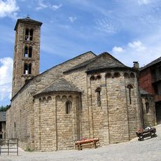
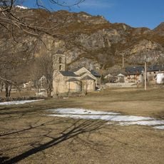
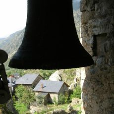
Pallars Jussà, Administrative region in Lleida Province, Spain
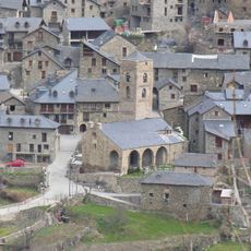
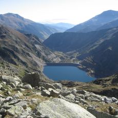
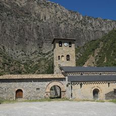
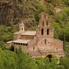
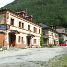
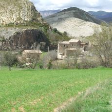
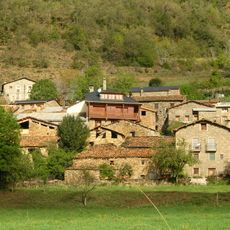
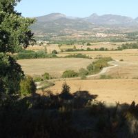
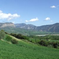
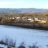
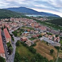
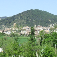
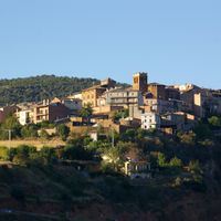
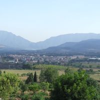
Pallars Jussà is an administrative region in Lleida Province covering 1,343 square kilometers with diverse landscapes of farmland, thick forests, lakes, and mountains. Tremp serves as the main town and administrative center.
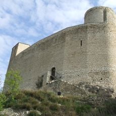
The territory emerged as a separate county in 1011 following the death of Sunyer of Pallars, when his lands were divided between two heirs. Raymond III received this lower region while his brother gained the upper territory.
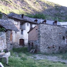
The region maintains connections to local craftsmanship visible in small workshops and community markets throughout its towns. Handmade goods remain part of daily commerce, reflecting how residents keep traditional skills alive in their communities.
The Epicentre information center in Tremp provides guidance on outdoor activities, trails, and heritage locations throughout the region. Weather can change quickly due to elevation and forest coverage, so visitors should prepare accordingly.
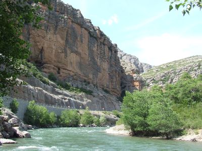
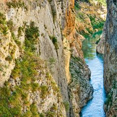
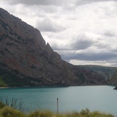
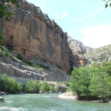
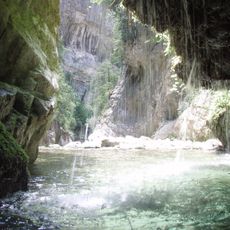
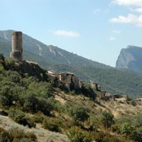
Mont-rebei Canyon features a path carved directly into its rock walls, making it Catalonia's only major canyon route through limestone. This remarkable walkway offers hikers a singular experience of moving through dramatic terrain.
The community of curious travelers
AroundUs brings together thousands of curated places, local tips, and hidden gems, enriched daily by 60,000 contributors worldwide.