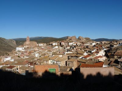
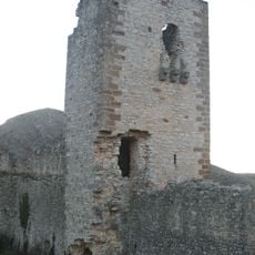
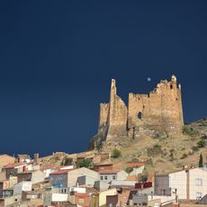
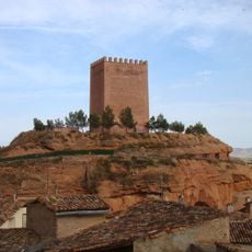
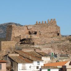
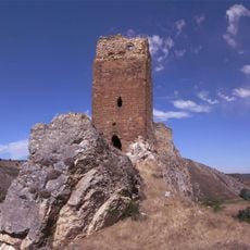
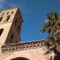
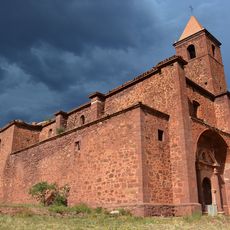
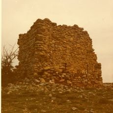
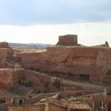
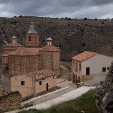
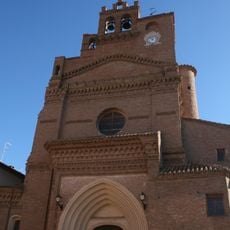
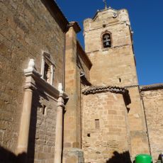
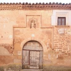
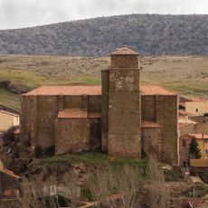
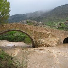
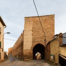
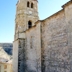
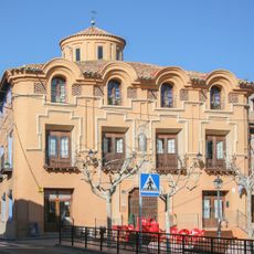
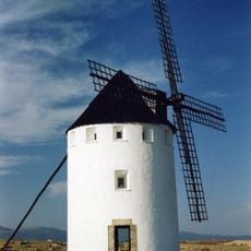
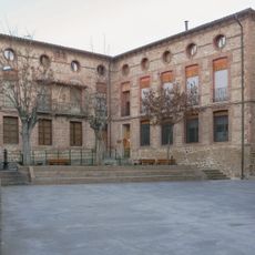
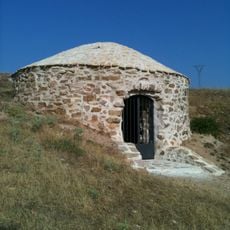
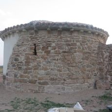
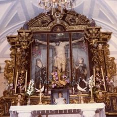
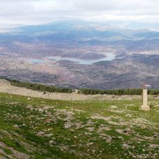
Aranda de Moncayo, municipality of Spain
Location: Zaragoza Province
Capital city: Aranda de Moncayo
Elevation above the sea: 907 m
Website: http://www.ayto-arandademoncayo.es/
Shares border with: Pomer, Calcena, Oseja, Jarque, Villarroya de la Sierra, Clarés de Ribota, Malanquilla Municipality
Website: http://ayto-arandademoncayo.es
GPS coordinates: 41.57817,-1.79205
Latest update: March 5, 2025 18:38
Aratikos
809 m
Castillo de Bijuesca
11.5 km
Castillo de Jarque
9.9 km
King's Castle
12.8 km
Castle of Aranda de Moncayo
94 m
Castillo de Berdejo
12.8 km
Church of Virgen de los Reyes, Calcena
10.6 km
Convento Dominico de Nuestra Señora de la Consolación
12.4 km
Asociación cultural Miguel Martínez del Villar
7 km
Torre del Moro, Malanquilla
5.9 km
Castle of the Queen
12.7 km
Iglesia de San Millán
12.9 km
Fortress Church of Saint Peter the Apostle
12.8 km
Church of Our Lady of Malanca
13.3 km
Casa de San Millán, Torrelapaja
13.3 km
Iglesia de Nuestra Señora de la Asunción, Borobia
13 km
Church of Our Lady of La Asunción
6.9 km
La Calderuela
5.9 km
Bridge , Bijuesca
11.9 km
Wall of Villarroya de la Sierra
7.6 km
Church of Santa Maria la Mayor, Cirial
15.1 km
Casa Grande
12.8 km
Windmill of Malanquilla
7.4 km
Bijuesca town hall
11.5 km
Malanquilla icehouse
7.1 km
Ermita de Santa María
7.2 km
Hermitage of Santísimo Cristo del Humilladero
6.7 km
Reservoir of Maidevera
2.3 kmReviews
Visited this place? Tap the stars to rate it and share your experience / photos with the community! Try now! You can cancel it anytime.
Discover hidden gems everywhere you go!
From secret cafés to breathtaking viewpoints, skip the crowded tourist spots and find places that match your style. Our app makes it easy with voice search, smart filtering, route optimization, and insider tips from travelers worldwide. Download now for the complete mobile experience.
A unique approach to discovering new places❞
— Le Figaro
All the places worth exploring❞
— France Info
A tailor-made excursion in just a few clicks❞
— 20 Minutes