Erroibar

Log in to your account

AroundUs is a community-driven map of interesting places, built by curious explorers like you. It grows with every review, story, and photo you share.
Connect to save your favorite spots, contribute locations, and create personalized routes.
Continue with Google
Continue with Apple
Continue with X
Continue with Facebook
Continue with email
By continuing, you accept our Terms and Conditions and our Privacy Policy
Create an account
Add to collection
Map
Suggest a change
Share

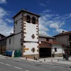
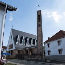
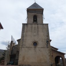
Erroibar, Mountain municipality in Navarre, Spain

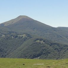
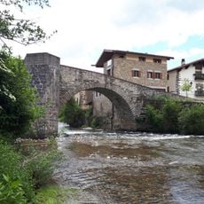
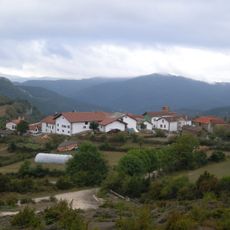
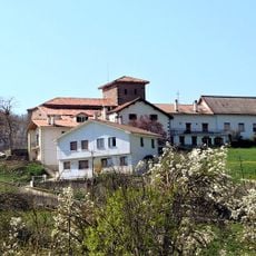
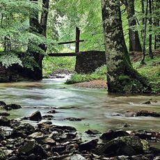
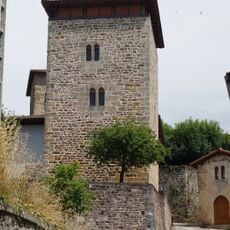
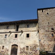
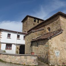
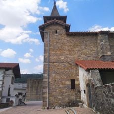
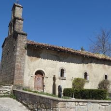
Erroibar is a mountain valley in eastern Navarre that spreads across the Pyrenean foothills. The landscape combines dense forests with open meadows, and the river Erro flows through the center creating natural boundaries between settlements.

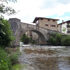
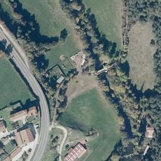
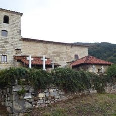
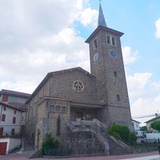
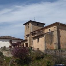
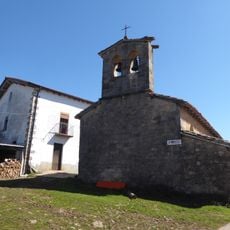
The valley served as a key passage for medieval trade and pilgrimage routes connecting the Iberian Peninsula with France. This historical role shaped how communities developed within the valley and remains visible in the distribution of villages today.

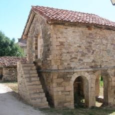
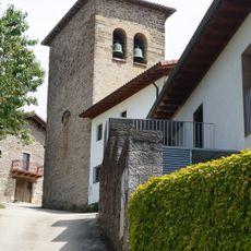
The valley sits in a region where Basque and Spanish coexist in daily life. Residents maintain traditions that shape how the community uses and cares for the land.

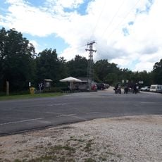
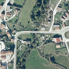
The spread-out layout means a car is helpful for moving between different parts of the valley. Sturdy footwear matters if you plan to explore forest paths, as soil can become muddy after rain or during wet seasons.

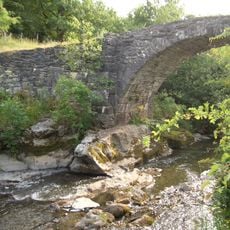
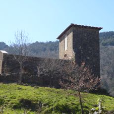
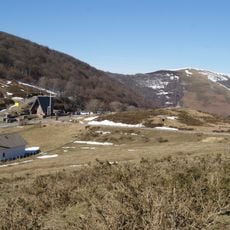
The Sorogain forest contains old trails that follow the Erro River, allowing visitors to spot woodland animals and bird species rarely seen elsewhere. These paths connect different villages together and have served as local routes for centuries.

Location: Navarre

Location: Pirinioak

Location: Merindade of Sangüesa

Elevation above the sea: 669 m

Part of: Mancomunitat de Residus Sòlids «Bidausi», Intermunicipalité des services de bibliothèque de Berragu, Auñamendi Gizarte. Zerbitzuko Mankomunitatea, Mancomunitat Esportiva «Orreaga», Basque-speaking zone of Navarre

Shares border with: Lizoain-Arriasgoiti/Lizoainibar-Arriasgoiti, Arce/Artzi, Auritz-Burguete, Banca, Urepel, Baztan, Esteribar

Website: http://erroibar.net

GPS coordinates: 42.95714,-1.42813

Latest update: December 10, 2025 15:58

Photos
Reviews

Visited this place? Tap the stars to rate it and share your experience / photos with the community! Try now! You can cancel it anytime.

« Erroibar - Mountain municipality in Navarre, Spain » is provided by Around Us (aroundus.com). Images and texts are derived from Wikimedia project under a Creative Commons license. You are allowed to copy, distribute, and modify copies of this page, under the conditions set by the license, as long as this note is clearly visible.

Discover hidden gems everywhere you go!

From secret cafés to breathtaking viewpoints, skip the crowded tourist spots and find places that match your style. Our app makes it easy with voice search, smart filtering, route optimization, and insider tips from travelers worldwide. Download now for the complete mobile experience.

Around Us App Screenshot

A unique approach to discovering new places

Le Figaro

All the places worth exploring

France Info

A tailor-made excursion in just a few clicks

20 Minutes