
Izurtza, municipality of Spain
Location: Durangaldea
Capital city: Izurtza
Elevation above the sea: 148 m
Part of: Mancomunitat de la Merindad de Durango, UEMA - Udalerri Euskaldunen Mankumunitatea
Shares border with: Abadiño, Durango, Mañaria
Website: http://izurtza.net/eu-ES/Orrialdeak/default.aspx
GPS coordinates: 43.15500,-2.63889
Latest update: March 19, 2025 22:01
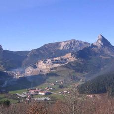
Mugarra
3.4 km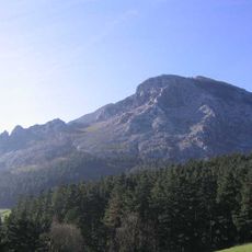
Untxillaitz
3.1 km
Cueva de Askondo
3.6 km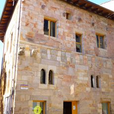
Lariz Dorrea
1.3 km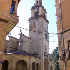
Church of Santa Ana, Durango
1.3 km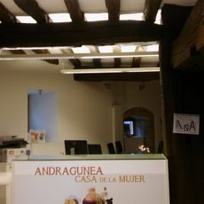
Andragunea
1.3 km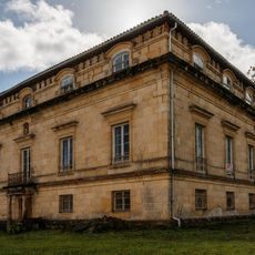
Arana Jauregia, Izurtza
204 m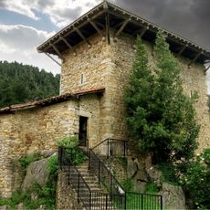
Etxaburu tower
1.6 km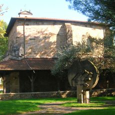
Saint Peter's Church in Tabira
1.1 km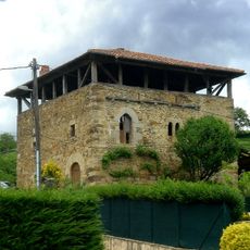
Izurtza dorretxea
93 m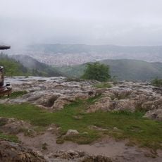
Pagasarri
4.4 km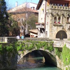
Santa Ana zubia
1.3 km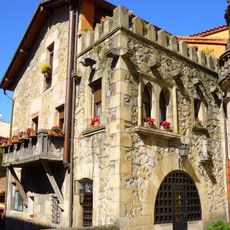
Arkuko Errota
1.3 km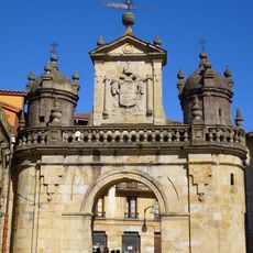
Puerta de Santa Ana, Durango
1.3 km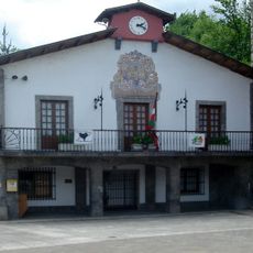
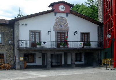
Town hall of Izurtza
548 m
Casa consistorial de Mañaria
2.6 km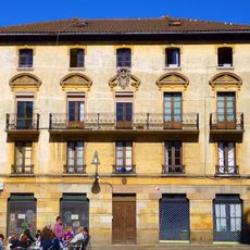
Zabala etxea
1.3 km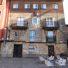
Lejarza jauregia
1.3 km
Barrenkale 34 etxea
1.4 km
Casa Barrenkalea 33
1.4 km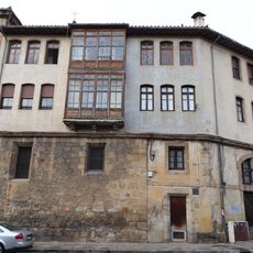
Santanoste 2 etxea
1.3 km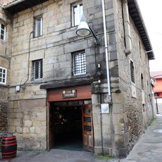
Santa Ana 6 etxea
1.3 km
Santa Ana 7 etxea
1.3 km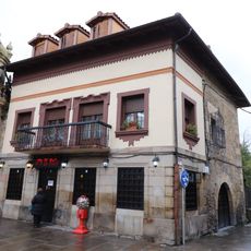
Egia etxea
1.3 km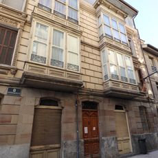
Fatxada Eklektikoa Barrenkale 42
1.4 km
Casa Artekalea 36
1.3 km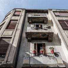
Casa Laritz Dorrea 1
1.4 km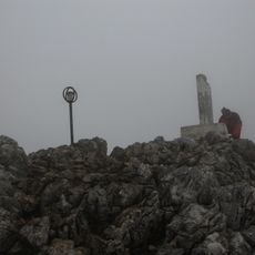
Leungana
4.8 kmVisited this place? Tap the stars to rate it and share your experience / photos with the community! Try now! You can cancel it anytime.
Discover hidden gems everywhere you go!
From secret cafés to breathtaking viewpoints, skip the crowded tourist spots and find places that match your style. Our app makes it easy with voice search, smart filtering, route optimization, and insider tips from travelers worldwide. Download now for the complete mobile experience.

A unique approach to discovering new places❞
— Le Figaro
All the places worth exploring❞
— France Info
A tailor-made excursion in just a few clicks❞
— 20 Minutes