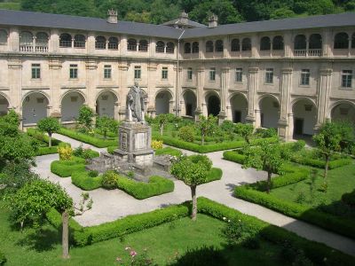
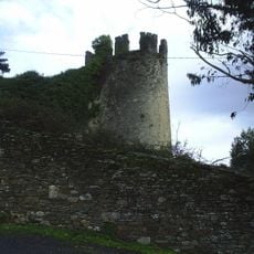
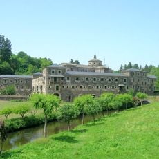
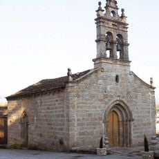
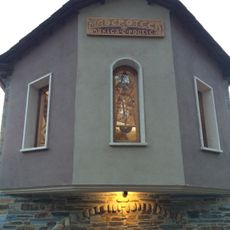
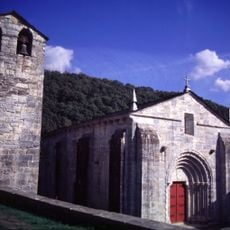
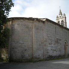
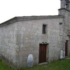
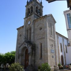
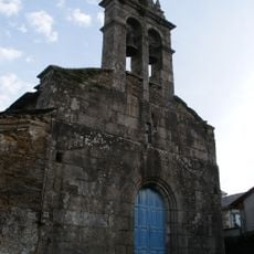
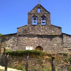
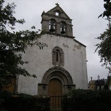
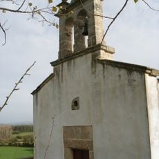
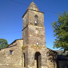
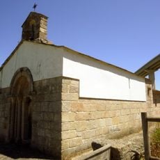
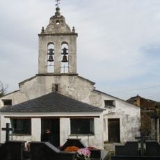
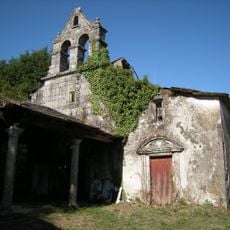
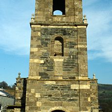
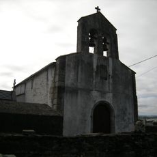
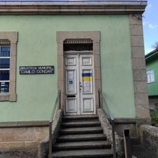
Samos, Spanish municipality
Location: Lugo Province
Capital city: Samos
Elevation above the sea: 700 m
Part of: Mancomunidade de Concellos Galegos do Camiño Francés
Shares border with: O Incio, Sarria, Láncara, Triacastela, Pedrafita do Cebreiro, Folgoso do Courel, A Pobra do Brollón
Website: http://concellosamos.es
GPS coordinates: 42.73066,-7.32659
Latest update: April 3, 2025 08:47
Cueva Eirós
10.3 km
Fortaleza de Sarria
9.1 km
Monasterio de San Julián de Samos
148 m
Castle of Carbedo
19.5 km
Cueva de las Chovas
11.6 km
Castro da Torre
17.1 km
Church of Santa María de Goó
7.9 km
Church of the Saviour
9 km
Castro de Formigueiros
3.6 km
Chapel of San Salvador de Samos
325 m
Castro de Moura
9.1 km
Maderoteca
19.1 km
Church of San Pedro Fiz, O Hospital
8.5 km
Church of Saint Mary
8.8 km
Church of Saint Julian
10.8 km
Church of Santa Marina
8.9 km
Church of Saint Martin
6.1 km
Church of Saint John
8.8 km
Church of Saint Peter
7.8 km
Church of Saint Mammes
6.3 km
Church of Saint Christopher
7.9 km
Church of Saint Mary
9.6 km
Church of Saint Mary
2.1 km
Iglesia de San Mamede de Vilasouto
10.5 km
Church of Saint James
7.7 km
Casa Museo de Uxío Novoneyra
19.5 km
Church of Saint Peter
7.2 km
Biblioteca Pública Municipal de Sarria - Camilo Gonsar
9 kmReviews
Visited this place? Tap the stars to rate it and share your experience / photos with the community! Try now! You can cancel it anytime.
Discover hidden gems everywhere you go!
From secret cafés to breathtaking viewpoints, skip the crowded tourist spots and find places that match your style. Our app makes it easy with voice search, smart filtering, route optimization, and insider tips from travelers worldwide. Download now for the complete mobile experience.
A unique approach to discovering new places❞
— Le Figaro
All the places worth exploring❞
— France Info
A tailor-made excursion in just a few clicks❞
— 20 Minutes