
Almatret, municipality of Spain
Location: Segrià
Elevation above the sea: 462 m
Shares border with: Maials, Serós, Riba-roja d'Ebre, Fayón, Mequinenza
Website: https://almatret.cat
GPS coordinates: 41.30545,0.42270
Latest update: March 6, 2025 04:23
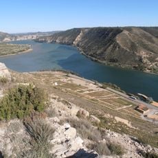
Aiguabarreig
11.9 km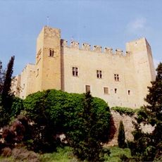
Castell de Mequinensa
12.5 km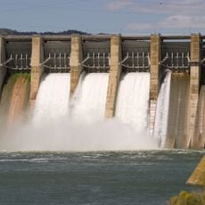
Mequinenza Dam
14.3 km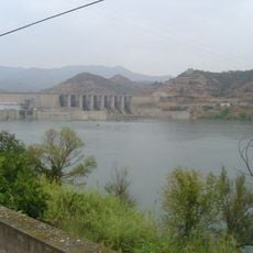
Ribarroja Reservoir
7 km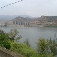
Presa de Riba-roja
6.9 km
Montmeneu
9.4 km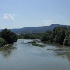
Aiguabarreig Segre-Cinca
15 km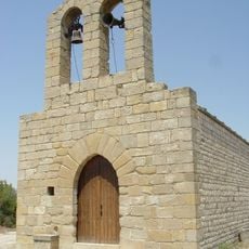
Santa Magdalena de Berrús
8.2 km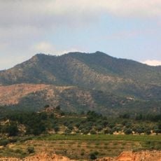
Puntal dels Escambrons
3.4 km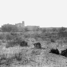
Santa Maria d'Escarp
15.1 km
Espacio Burges
10.5 km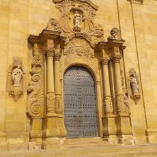
Església de Sant Bertomeu
8 km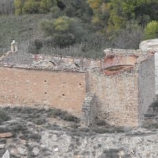
Sant Jaume
13.2 km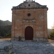
Santa Madrona de Riba-roja d'Ebre
8.1 km
Castell de Riba-roja (Riba-roja d'Ebre)
7.9 km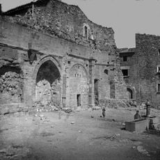
Santa Maria de Maials
9.4 km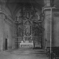
Ermita de Loreto
13.1 km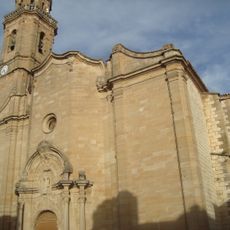
Nostra Senyora de l'Assumpció de Maials
9.5 km
Sant Jaume de la Granja d'Escarp
13.9 km
La Garita
8.7 km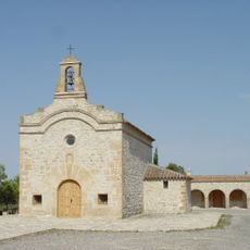
Sant Jordi de Faió
10.6 km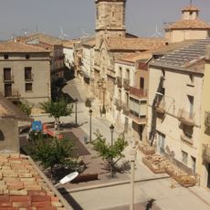
Sant Miquel d'Almatret
99 m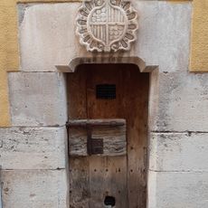
La Presó
43 m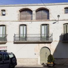
Casa de la Torre
63 m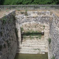
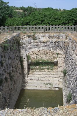
Pou de la Vila
549 m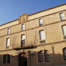
Casa de la Vila de Riba-roja d'Ebre
8.2 km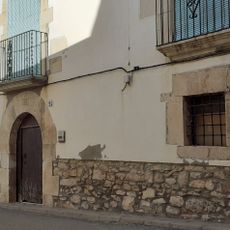
Cal Viladrich
45 m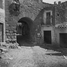
Porta del Tossalet
9.4 kmReviews
Visited this place? Tap the stars to rate it and share your experience / photos with the community! Try now! You can cancel it anytime.
Discover hidden gems everywhere you go!
From secret cafés to breathtaking viewpoints, skip the crowded tourist spots and find places that match your style. Our app makes it easy with voice search, smart filtering, route optimization, and insider tips from travelers worldwide. Download now for the complete mobile experience.

A unique approach to discovering new places❞
— Le Figaro
All the places worth exploring❞
— France Info
A tailor-made excursion in just a few clicks❞
— 20 Minutes