Enable Location

We need your location to show you interesting places around you

Discover nearby places

Find interesting locations and hidden gems around you

Precise directions

Get accurate directions and distances to places

Your location is never shared with other users. It's only used when you tap the location button.

Bétera

Log in to your account

Start exploring — it's free

Trusted by 64,133 travelers worldwide

Continue with Google
Continue with Apple
or

We will send you a code to connect

By continuing, you accept our Terms and Conditions and our Privacy Policy

Check your inbox

We've sent a pincode in your inbox. Please enter the code below.

Discussion Reviews 1 Photos
18.1k Popularity

Bétera, municipality of Spain

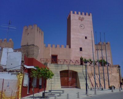
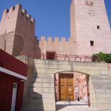
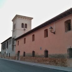
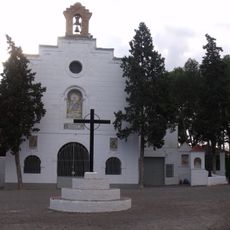
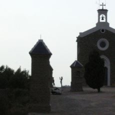
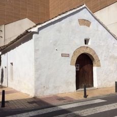
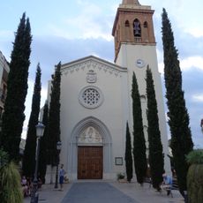
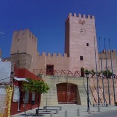
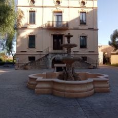
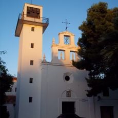
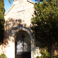
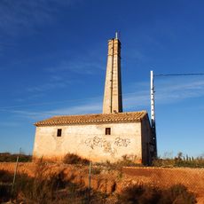
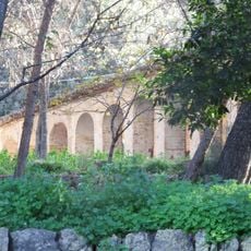
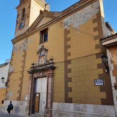
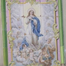
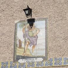
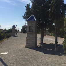
Bétera is a small municipality in the Camp de Túria region of Valencia province, situated on hilly terrain among farmland. The town features narrow streets, traditional houses in soft colors, and several important buildings including the Bétera castle on a hill, the church of La Purísima Concepción dating from the 1600s-1700s, and the church of Nuestra Señora de los Desamparados with the nearby Hermitage of La Divina Pastora.

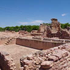
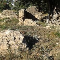
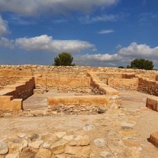
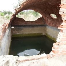
Bétera was founded in the 5th century before Christ by Iberians who built a fortified settlement, whose remains are still visible today. Later, Romans inhabited the area with baths and estates, Arabs built a castle on a hill, and medieval development led to the construction of churches and later farms in the 1800s.

The name Bétera comes from ancient Iberian and Roman times when settlers first arrived here. Today, visitors can see how the community celebrates its traditions, especially during August festivals when streets fill with processions, music, and communal meals.

The town is easily accessible by road and located about 3 miles (5 kilometers) from Paterna, with good connections to nearby cities. Overnight options include rural houses and apartments in the area, and the town is ideal for walking, cycling, and exploring the surroundings, especially during spring and fall when the weather is mild.

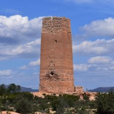
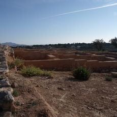
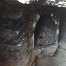
In the underground caves of Les Coves de Mallorca at the edge of town, visitors can explore former homes that now host cultural events. At another site called Tos Pelat, about 4 miles (6 kilometers) away, stands a well-preserved ancient Iberian fortified village that shows how people lived there thousands of years ago.

The community of curious travelers

AroundUs brings together thousands of curated places, local tips, and hidden gems, enriched daily by 60,000 contributors worldwide.

Start exploring
Location
Capital city
Bétera
Elevation above the sea
125 m
Shares border with
Valencia, Godella, Moncada, Nàquera, Paterna, La Pobla de Vallbona, Serra, San Antonio de Benagéber
GPS coordinates
39.59220,-0.46248
Latest update
February 17, 2026 00:00
Reviews
Share your experience

No review yet

Discussions
Start a discussion...

No discussion yet

« Bétera - municipality of Spain » is provided by Around Us (aroundus.com). Images and texts are derived from Wikimedia project under a Creative Commons license. You are allowed to copy, distribute, and modify copies of this page, under the conditions set by the license, as long as this note is clearly visible.

Discover hidden gems everywhere you go!

From secret cafés to breathtaking viewpoints, skip the crowded tourist spots and find places that match your style. Our app makes it easy with voice search, smart filtering, route optimization, and insider tips from travelers worldwide. Download now for the complete mobile experience.

Around Us App Screenshot

A unique approach to discovering new places

Le Figaro

All the places worth exploring

France Info

A tailor-made excursion in just a few clicks

20 Minutes

Around Us
Travel Guide & Maps
Download

Send to your phone

QR Code
1

Open the camera app on your mobile.

2

Point at the QR code with your camera. A notification will appear.

3

Tap the notification to open the link.