Enable Location

We need your location to show you interesting places around you

Discover nearby places

Find interesting locations and hidden gems around you

Precise directions

Get accurate directions and distances to places

Your location is never shared with other users. It's only used when you tap the location button.

Carrión de los Condes

Log in to your account

Start exploring — it's free

Trusted by 63,014 travelers worldwide

Continue with Google
Continue with Apple
or

We will send you a code to connect

By continuing, you accept our Terms and Conditions and our Privacy Policy

Check your inbox

We've sent a pincode in your inbox. Please enter the code below.

Carrión de los Condes
Discussion Reviews 2 Photos
38.8k Popularity

Carrión de los Condes, Medieval town on Camino de Santiago in Palencia Province, Spain

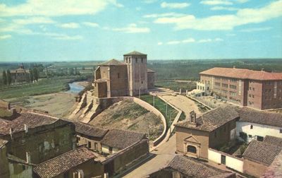
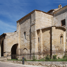
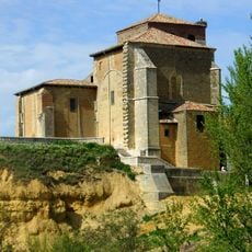
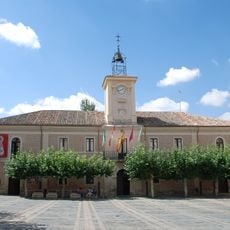
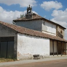
Carrión de los Condes is a municipality in Palencia Province situated along the French Way of the Camino de Santiago at about 830 meters elevation. The town contains several Romanesque churches and historic monasteries, including the Monastery of San Zoilo with its Renaissance cloister.

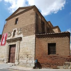
The settlement developed as a strategic location along a major pilgrimage route and later benefited from royal patronage. In 1072, King Alfonso VI of León sought shelter in the Church of Santa María de las Victorias following his defeat at the Battle of Golpejera.

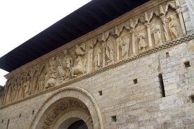
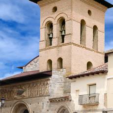
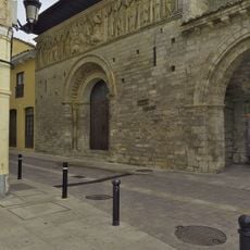
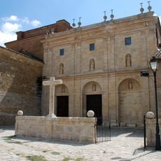
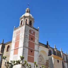
The Church of Santiago displays notable Romanesque carvings that reflect medieval religious artistry and faith. These sculptures have drawn the attention of pilgrims passing through for centuries.

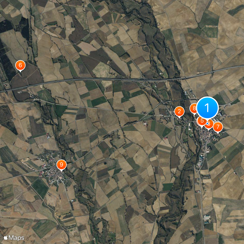
The town is easy to explore on foot, with major buildings located relatively close together. Visitors should allow sufficient time to properly view the different churches and the monastery.

The Hospital de la Herrada was established in 1209 and functioned specifically as lodging for pilgrims on the Camino de Santiago. This early medical facility demonstrates how organized support for travelers was already in the medieval period.

The community of curious travelers

AroundUs brings together thousands of curated places, local tips, and hidden gems, enriched daily by 60,000 contributors worldwide.

Start exploring
Capital city
Carrión de los Condes
Elevation above the sea
830 m
Part of
Mancomunitat del Camino de Santiago
Shares border with
Villamuera de la Cueza, Calzada de los Molinos, Bustillo del Páramo de Carrión, Villaturde, Nogal de las Huertas, Valde-Ucieza, San Mamés de Campos, Villalcázar de Sirga, Villoldo
GPS coordinates
42.33889,-4.60194
Latest update
December 17, 2025 09:29
Reviews
Share your experience

No review yet

Discussions
Start a discussion...

No discussion yet

« Carrión de los Condes - Medieval town on Camino de Santiago in Palencia Province, Spain » is provided by Around Us (aroundus.com). Images and texts are derived from Wikimedia project under a Creative Commons license. You are allowed to copy, distribute, and modify copies of this page, under the conditions set by the license, as long as this note is clearly visible.

Discover hidden gems everywhere you go!

From secret cafés to breathtaking viewpoints, skip the crowded tourist spots and find places that match your style. Our app makes it easy with voice search, smart filtering, route optimization, and insider tips from travelers worldwide. Download now for the complete mobile experience.

Around Us App Screenshot

A unique approach to discovering new places

Le Figaro

All the places worth exploring

France Info

A tailor-made excursion in just a few clicks

20 Minutes

Around Us
Travel Guide & Maps
Download

Send to your phone

QR Code
1

Open the camera app on your mobile.

2

Point at the QR code with your camera. A notification will appear.

3

Tap the notification to open the link.