
Outes, municipality of Spain
Location: A Coruña Province
Part of: Mancomunidade «Xallas-Tines-Tambre», Noia
Shares border with: Noia, Brión, Negreira, Mazaricos, Muros
Website: https://outes.gal
GPS coordinates: 42.85111,-8.92639
Latest update: March 6, 2025 01:53

Igrexa de San Martiño de Noia
8.2 km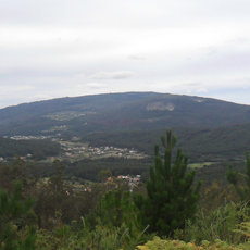
Iroite
13.7 km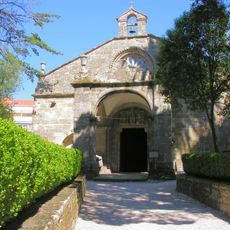
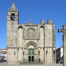
Church of Santa María a Nova de Noia
8.2 km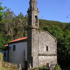
Monastery of San Xusto de Toxosoutos
9.8 km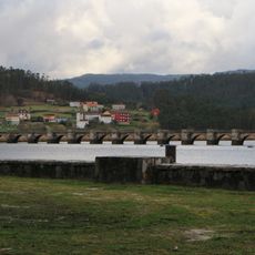
Ponte Nafonso
4.9 km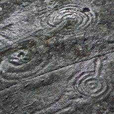
Cova da Bruxa
12.9 km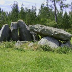
Mina da Parxubeira
9.9 km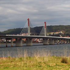
Ponte sobre a ría de Noia
6.8 km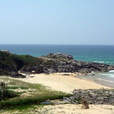
Praia do Dique
14 km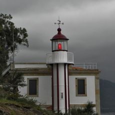
Beacon of Rebordiño
13.4 km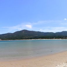
Beach of Aguieira
12.8 km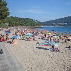
Broña
5.5 km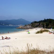
Ornanda
9.4 km
Praia de Coira
10.7 km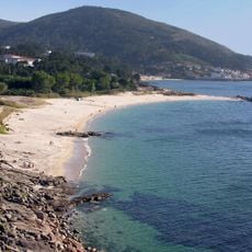
Praia de Cabeiro
14 km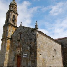
Church of San Mamede of Carnota
12.5 km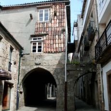
Pazo do Forno do rato
8.2 km
Muralla de Noia
8.2 km
City walls of Muros
13.7 km
A Pena Forcada
13.1 km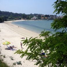
Boa
8.2 km
Biblioteca Pública Municipal de Noia
8.2 km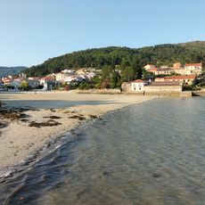
Praia da Rocha
12.9 km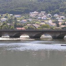
Ponte do Campo
8.4 km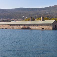
O Pozo do Cachón tide mill
13.2 km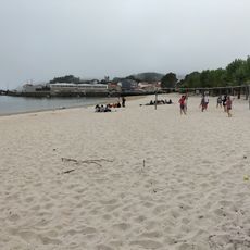
Praia de Esteiro
7.8 km
O Testal
7 km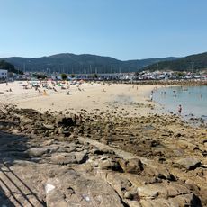
La Prudencia
13.5 kmReviews
Visited this place? Tap the stars to rate it and share your experience / photos with the community! Try now! You can cancel it anytime.
Discover hidden gems everywhere you go!
From secret cafés to breathtaking viewpoints, skip the crowded tourist spots and find places that match your style. Our app makes it easy with voice search, smart filtering, route optimization, and insider tips from travelers worldwide. Download now for the complete mobile experience.

A unique approach to discovering new places❞
— Le Figaro
All the places worth exploring❞
— France Info
A tailor-made excursion in just a few clicks❞
— 20 Minutes