
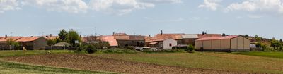
Nafría de Ucero, municipality of Spain
Location: Soria Province
Elevation above the sea: 1,026 m
Shares border with: Fuentearmegil, Santa María de las Hoyas, Casarejos, Herrera de Soria, Ucero, Valdemaluque, El Burgo de Osma-Ciudad de Osma
GPS coordinates: 41.72250,-3.09472
Latest update: March 20, 2025 07:40
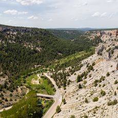
Cañón del Río Lobos Natural Park
7.6 km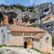
Hermitage of San Bartolomé
3.9 km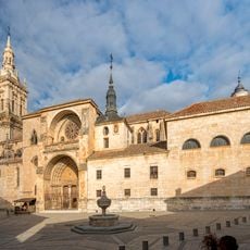
Burgo de Osma Cathedral
15.4 km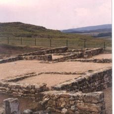
Uxama Argaela
16.3 km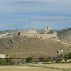
Osma Castle
16.1 km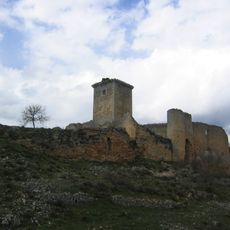
Castle of Ucero
4.1 km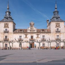
Hospital of San Agustín, El Burgo de Osma
15.2 km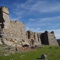
Castle of de Juan Manrique de Lara
12 km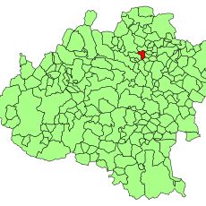
Villa romana en Los Villares
4.7 km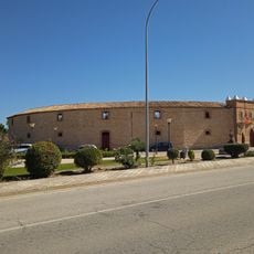
Plaza de toros de El Burgo de Osma
15.3 km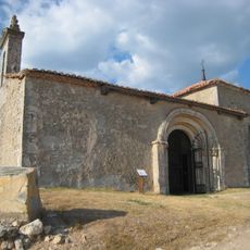
Hermitage of Santo Cristo de Miranda
5.9 km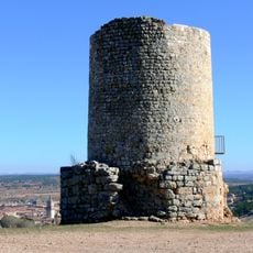
Uxama watchtower
16.2 km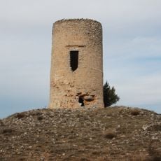
Watchtower of el Sur del Burgo
17.1 km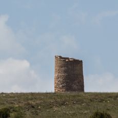
Eastern Watchtower, El Burgo de Osma
16 km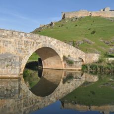
Osma bridge
15.9 km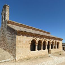
Church of San Martín, Rejas de San Esteban
18 km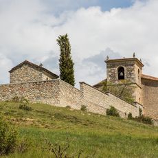
Iglesia de la Natividad, Vadillo
10.4 km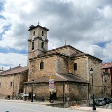
Church of San Leonardo Abad
12.1 km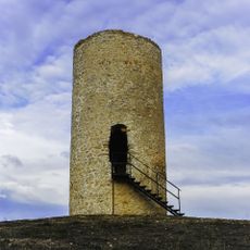
Atalaya
17.4 km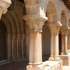
Church of San Martin Berzosa
8.9 km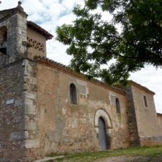
Church of Nuestra Señora del Espino, Barcebal
11.5 km
Villa de Rejas de San Esteban
17.8 km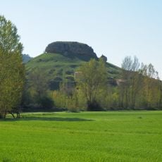
Torre de Alcubilla del Marqués
17.5 km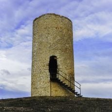
Watchtower of San Esteban
17.4 km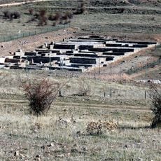
Ruinas romanas de Uxama
16.2 km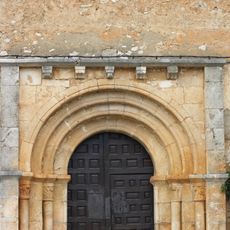
Church of San Mamés, Rejas de Ucero
1.9 km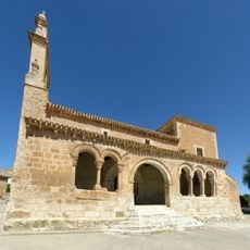
Church of San Ginés, Rejas de San Esteban
17.8 km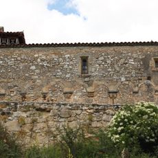
Church of Degollación de San Juan Bautista, Arganza
10.9 kmVisited this place? Tap the stars to rate it and share your experience / photos with the community! Try now! You can cancel it anytime.
Discover hidden gems everywhere you go!
From secret cafés to breathtaking viewpoints, skip the crowded tourist spots and find places that match your style. Our app makes it easy with voice search, smart filtering, route optimization, and insider tips from travelers worldwide. Download now for the complete mobile experience.

A unique approach to discovering new places❞
— Le Figaro
All the places worth exploring❞
— France Info
A tailor-made excursion in just a few clicks❞
— 20 Minutes