Nájera

Log in to your account

AroundUs is a community-driven map of interesting places, built by curious explorers like you. It grows with every review, story, and photo you share.
Connect to save your favorite spots, contribute locations, and create personalized routes.
Continue with Google
Continue with Apple
Continue with X
Continue with Facebook
Continue with email
By continuing, you accept our Terms and Conditions and our Privacy Policy
Create an account
Add to collection
Map
Suggest a change
Share

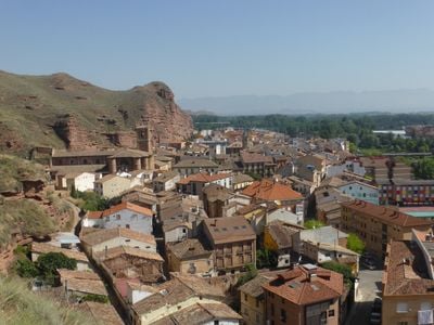
Nájera, Medieval municipality in La Rioja, Spain.

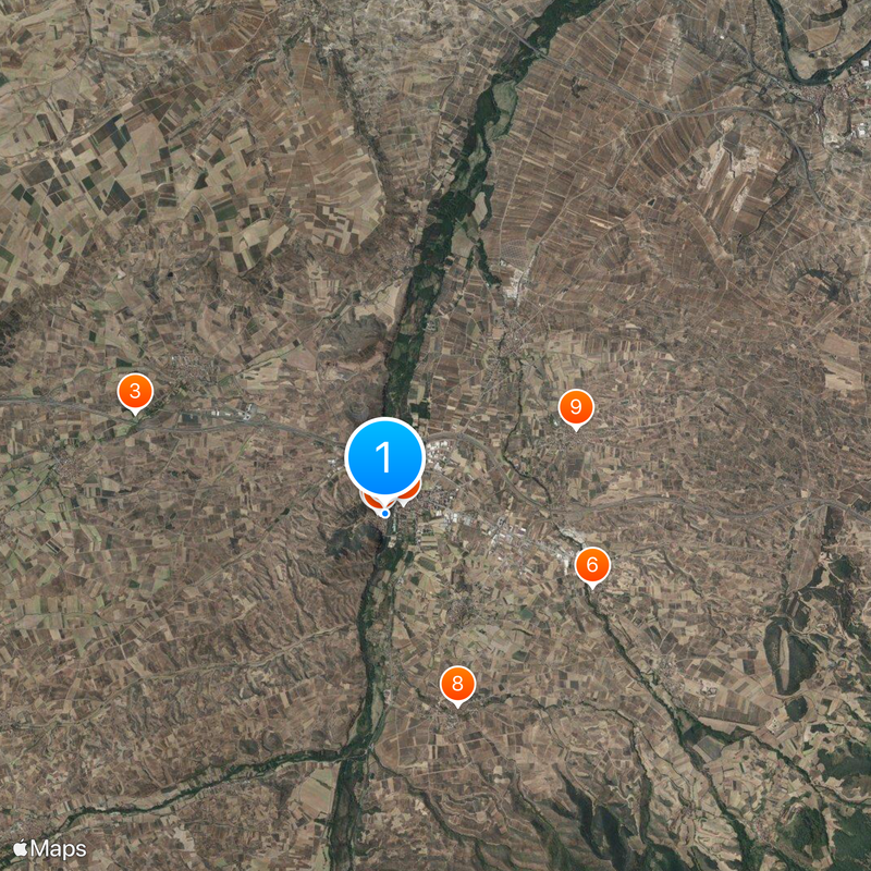
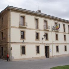
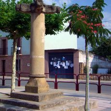
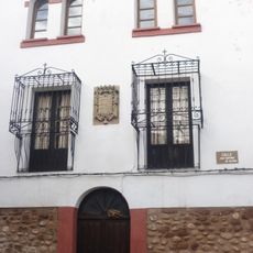
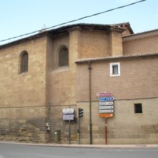
Nájera is a medieval town in La Rioja situated on the Najerilla River at about 485 meters in elevation. Its historic center features stone buildings and narrow streets arranged in the typical pattern of a mountain settlement from that era.

The town thrived in the 11th century when it became the capital of the Kingdom of Nájera-Pamplona. King Sancho III redirected the Santiago pilgrimage route through the region at that time, making it a major crossroads for travelers.

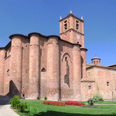
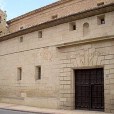
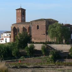
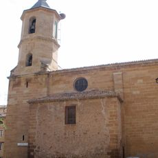
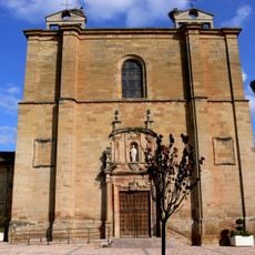
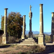
The Monastery of Santa María La Real has shaped the town's identity for about 1,000 years. Visitors notice the altars, chapels, and burial places of rulers from different periods, revealing how important this site was for regional powers.

The town is easy to explore on foot and visitors will find a history and archaeology museum with exhibits spanning from prehistory to medieval times. It is helpful to know that numerous artworks, Roman objects, and regional paintings provide an overview of the region's development.

A cave beneath the monastery marks a place of local significance where, in local legend, King García encountered an apparition. This story is closely tied to the founding and construction of the monastery and continues to shape local accounts today.

Location: La Rioja

Capital city: Nájera

Elevation above the sea: 485 m

Part of: Way of Saint James in La Rioja

Shares border with: Alesón, Alesanco, Tricio, Arenzana de Abajo, Camprovín, Cárdenas, Badarán, Cordovín, Azofra, Hormilla, San Asensio, Hormilleja, Torremontalbo, Uruñuela, Huércanos

Website: http://najera.es

GPS coordinates: 42.41583,-2.73417

Latest update: December 18, 2025 20:09

Photos
Reviews

Visited this place? Tap the stars to rate it and share your experience / photos with the community! Try now! You can cancel it anytime.

« Nájera - Medieval municipality in La Rioja, Spain » is provided by Around Us (aroundus.com). Images and texts are derived from Wikimedia project under a Creative Commons license. You are allowed to copy, distribute, and modify copies of this page, under the conditions set by the license, as long as this note is clearly visible.

Discover hidden gems everywhere you go!

From secret cafés to breathtaking viewpoints, skip the crowded tourist spots and find places that match your style. Our app makes it easy with voice search, smart filtering, route optimization, and insider tips from travelers worldwide. Download now for the complete mobile experience.

Around Us App Screenshot

A unique approach to discovering new places

Le Figaro

All the places worth exploring

France Info

A tailor-made excursion in just a few clicks

20 Minutes